—
公開中の物件数
0
賃貸
0
売買
—
販売価格の中央値
—
月額賃料の中央値
—
平米あたりの価格
Mae Kuの物件
まだ物件が見つかりません
この地域ではまだ物件が見つかりません。
タイ全土を見るMae Kuに新しい物件が掲載されたら通知します。
エリアプロフィール:Mae Ku
タイ政府の公式データとオープンデータソースから得た、このエリアに関するすべての情報。
公式土地評価額(自治体エリア)
評価額の中央値
฿500 / sq. wah
評価額の中央値
฿1,300 / sq. wah
建築費(県中央値)
人口
12,2862021年から+2.9%
男女比
登録世帯数
5,369
人口密度
111.3 人 / km²
1世帯あたりの人数
2.3
環境
大気質
県レベルの測定値(Tak)
PM2.5年平均値
39.1 µg/m³
WHOガイドライン:PM2.5 5 µg/m³ / PM10 15 µg/m³。タイ基準:PM2.5 15 µg/m³ / PM10 50 µg/m³。
衛星火災検知
県レベルの測定値(Tak)
今年の検知件数
8,164 件検知
月別衛星火災検知
地形と気候
標高の範囲
631.3 m
洪水リスク
地形による鉄砲水リスク
陥没(シンクホール)発生可能性(DMR)
最寄りの排水路からの高さ(第10パーセンタイル)
-98.6 m
最寄りの河川までの距離(第10パーセンタイル)
739.1 m
地形の傾斜(第90パーセンタイル)
7.8%
干ばつ
1981〜2010年以降の平年値に対する降水不足(CHIRPS)— 気象データであり、土壌水分でも予測でもありません。
直近3か月の降水量(平年比)
114.8%
過去10年間で不足した旬の割合
16.7%
過去10年間で最悪の3か月不足
21.5%
大気質
PM2.5 — OpenAQ
基準局
39.1 µg/m³
火災ホットスポット
年間検出件数
8,164件
Mae Kuの周辺施設
近くにあるもの — 店舗、学校、交通機関など。
学校(4)表示
- Ban Phu Toe School3.6 km
- Ban Mae Ku Nuea School5.9 km
- Ban Mae Ku Noi Community School6.5 km
施設データ © OpenStreetMap contributors
Mae Kuのプロジェクト
このエリアのコンドミニアムと新規開発
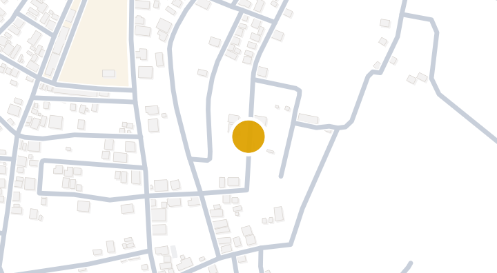
MaxHome is a condominium project located in Mae Ku, Mae Sot, Tak. The development is situated in a subdistrict that offers local places of worship and a nearby school. Residents can reach the 340 Skywalk attraction in about 21 minutes, while Bhumibol Dam Airport is approximately 109 minutes away. The developer and completion date for this project have not been disclosed.
Mae Kuでの暮らし
地域情報、ライフスタイル、知っておきたいこと
12,286
登録人口
1
プロジェクト数
About Mae Ku
Mae Ku is a subdistrict in Mae Sot district, Tak province, in western Thailand. As part of the Mae Sot area, it offers a quieter, more rural setting compared with the district's main town center, while still falling within the same district.
Local Landmarks
The subdistrict is home to Wat Ko Choy Ariya Karam, a local Buddhist temple that serves as a place of worship for the community. A Buddha statue is also located in the area, adding to its religious and cultural character.
Education and Living
There is one school nearby, providing educational access for families living in the subdistrict. Mae Ku has property inventory records, indicating an active residential market for those considering living in this part of Mae Sot.
Mae Kuの地図
地域をタップすると、区や地区の詳細を確認できます。
もっと見る
Mae Kuの物件を探す
お探しの条件にぴったりの物件を
Mae Kuについてよくある質問
Mae Kuの周辺には何がありますか?
OpenStreetMapのデータによると、Mae Kuの近くには1 件のレストラン・カフェがあります。
Mae Kuの大気質はどうですか?
Mae Kuの年間平均PM2.5は39.1 µg/m³で、WHOの指針値5 µg/m³およびタイの基準値15 µg/m³と比較されます。 これは県レベルレベルの測定値であり、この地域自体の観測局のものではありません。
Mae Kuは洪水のリスクがありますか?
Mae Kuの地形による鉄砲水の起こりやすさは中程度です。 陥没(シンクホール)発生可能性(DMR調査)は高いです。
Mae Kuの人口はどれくらいですか?
Mae Kuの登録人口は12,286人です(2021年から+2.9%)。
Mae Kuの公式土地評価価格はいくらですか?
タイ財務省によるMae Ku(この郡区直接)の公式土地評価額の中央値は1平方ワあたり฿500です — これは移転手数料や税金の計算に使われる政府評価額であり、市場価格ではありません。
Mae Kuの大気汚染はどの程度ひどいですか?
OpenAQの基準観測局のデータによると、Mae KuのPM2.5年間平均値は39.1 µg/m³です。