Supalai Bella Nakhon Ratchasima
- Pool
- Fitnessstudio
- Kinderbereich
- Parkplatz
- 24-Std.-Sicherheitsdienst
- Videoüberwachung
- Clubhaus
Lage
Supalai Bella Nakhon Ratchasima
8 Min.
nach Miss Bun Luea Memorial
78 Min.
nach Hat Chom Thong
Fahrzeit
8 Min.
Arbeitsweg prüfen
Orte speichern und Fahrzeiten von diesem Zuhause vergleichen.
Standortrisiken & Umgebungsdaten
- Flusshochwasser
- Historische Beobachtungen ergeben die Prüfstufe Niedrig, keine künftige Hochwasserwahrscheinlichkeit.
- Räumlicher Bezug: Beobachtungsdaten · Konfidenz: Hoch
- Sturzflut
- Keine verwertbaren Daten verfügbar.
- Räumlicher Bezug: Unzureichende Daten
- Dürre
- In 15.277777777777779% der analysierten 10-Tage-Zeiträume lag der Regen unter dem lokalen Normalwert. Regionale Prüfung mit projektspezifischen Schwellen.
- Räumlicher Bezug: Gebietskontext · Konfidenz: Mittel
- Luftqualität
- Jahresmittel PM2.5: 25.36896307793443 µg/m³, Quelle: OpenAQ. Kein aktueller Luftqualitätswert.
- Räumlicher Bezug: Gebietskontext · Konfidenz: Mittel
- Brand
- Keine verwertbaren Daten verfügbar.
- Räumlicher Bezug: Unzureichende Daten
- Hitze
- Jahresmittel der monatlichen Höchsttemperaturen: 31.608754680349847 °C. Regionale Prüfung mit projektspezifischen Schwellen, keine individuelle Gesundheitsprognose.
- Räumlicher Bezug: Gebietskontext · Konfidenz: Mittel
Hochwasser
Flusshochwasser
Niedrig — im erfassten Ereignis wurde keine nennenswerte Überflutung beobachtet
Konfidenz: hoch
Das Flusshochwasserrisiko wird ausschließlich anhand eines einzigen, satellitengestützt beobachteten Hochwasserereignisses aus 2024 bewertet, das vier nordthailändische Provinzen abdeckt (Chiang Mai, Chiang Rai, Lamphun, Phayao). „Unbekannt“ außerhalb dieses Gebiets bedeutet, dass noch keine Beobachtung vorliegt — nicht, dass das Gebiet sicher ist.
Sturzflut
Noch nicht bewertet
Konfidenz: mittel
- Höhe über der nächsten Entwässerung: -3.3 m
- Hangneigung: 0.2%
Die Geländedaten für Sturzfluten stammen aus OpenStreetMap-Wasserlaufdaten. OpenStreetMap-Quellenangabe ansehen
Umgebungsdaten
- Amtliche Baukostenschätzung, Maximum
- 12.000 THB/m² — In der Provinz Nakhon Ratchasima
- Quelle: Treasury Department (กรมธนารักษ์) construction cost appraisal · Lizenz: Open Data Common (Treasury Department building valuation catalogue) · 2024-08-15 bis 2027-12-31
- Amtliche Baukostenschätzung, typisch
- 7.550 THB/m² — In der Provinz Nakhon Ratchasima
- Quelle: Treasury Department (กรมธนารักษ์) construction cost appraisal · Lizenz: Open Data Common (Treasury Department building valuation catalogue) · 2024-08-15 bis 2027-12-31
- Amtliche Baukostenschätzung, Minimum
- 450 THB/m² — In der Provinz Nakhon Ratchasima
- Quelle: Treasury Department (กรมธนารักษ์) construction cost appraisal · Lizenz: Open Data Common (Treasury Department building valuation catalogue) · 2024-08-15 bis 2027-12-31
- Amtliche Bodenbewertung (Gemeinde), Maximum — amtlicher Schätzwert, kein Marktpreis
- 12.500 THB/sq_wah — Im Unterbezirk Cho Ho
- Quelle: Treasury Department (กรมธนารักษ์) land valuation (ราคาประเมินที่ดิน) - attach_all_20240805.csv — เทศบาลตำบลจอหอ (municipal area) · Lizenz: Open Data Common · 2024-08-14 bis 2024-08-14
- Amtliche Bodenbewertung (Gemeinde), typisch — amtlicher Schätzwert, kein Marktpreis
- 1.000 THB/sq_wah — Im Unterbezirk Cho Ho
- Quelle: Treasury Department (กรมธนารักษ์) land valuation (ราคาประเมินที่ดิน) - attach_all_20240805.csv — เทศบาลตำบลจอหอ (municipal area) · Lizenz: Open Data Common · 2024-08-14 bis 2024-08-14
- Amtliche Bodenbewertung (Gemeinde), Minimum — amtlicher Schätzwert, kein Marktpreis
- 500 THB/sq_wah — Im Unterbezirk Cho Ho
- Quelle: Treasury Department (กรมธนารักษ์) land valuation (ราคาประเมินที่ดิน) - attach_all_20240805.csv — เทศบาลตำบลจอหอ (municipal area) · Lizenz: Open Data Common · 2024-08-14 bis 2024-08-14
- Amtliche Bodenbewertung (Subdistrikt), Maximum — amtlicher Schätzwert, kein Marktpreis
- 6.000 THB/sq_wah — Im Unterbezirk Cho Ho
- Quelle: Treasury Department (กรมธนารักษ์) land valuation (ราคาประเมินที่ดิน) - attach_all_20240805.csv · Lizenz: Open Data Common · 2024-08-14 bis 2024-08-14
- Amtliche Bodenbewertung (Subdistrikt), typisch — amtlicher Schätzwert, kein Marktpreis
- 400 THB/sq_wah — Im Unterbezirk Cho Ho
- Quelle: Treasury Department (กรมธนารักษ์) land valuation (ราคาประเมินที่ดิน) - attach_all_20240805.csv · Lizenz: Open Data Common · 2024-08-14 bis 2024-08-14
- Amtliche Bodenbewertung (Subdistrikt), Minimum — amtlicher Schätzwert, kein Marktpreis
- 200 THB/sq_wah — Im Unterbezirk Cho Ho
- Quelle: Treasury Department (กรมธนารักษ์) land valuation (ราคาประเมินที่ดิน) - attach_all_20240805.csv · Lizenz: Open Data Common · 2024-08-14 bis 2024-08-14
- Trockenster Monat
- Dezember — In der Provinz Nakhon Ratchasima
- Quelle: Open-Meteo (ERA5 reanalysis, via archive-api.open-meteo.com) · Lizenz: CC BY 4.0 (Attribution 4.0 International) -- https://open-meteo.com/en/licence · 1991-01-01 bis 2020-12-31
- Climate rainfall annual total mean mm
- 1.087,9 mm — In der Provinz Nakhon Ratchasima
- Quelle: Open-Meteo (ERA5 reanalysis, via archive-api.open-meteo.com) · Lizenz: CC BY 4.0 (Attribution 4.0 International) -- https://open-meteo.com/en/licence · 1991-01-01 bis 2020-12-31
- Durchschnittliche Tageshöchsttemperatur
- 31,6 C — In der Provinz Nakhon Ratchasima
- Quelle: Open-Meteo (ERA5 reanalysis, via archive-api.open-meteo.com) · Lizenz: CC BY 4.0 (Attribution 4.0 International) -- https://open-meteo.com/en/licence · 1991-01-01 bis 2020-12-31
- Regenreichster Monat
- September — In der Provinz Nakhon Ratchasima
- Quelle: Open-Meteo (ERA5 reanalysis, via archive-api.open-meteo.com) · Lizenz: CC BY 4.0 (Attribution 4.0 International) -- https://open-meteo.com/en/licence · 1991-01-01 bis 2020-12-31
- Höhe über der nächsten Entwässerung (typisch)
- 10,3 m — Im Bezirk Mueang Nakhon Ratchasima
- Quelle: Terrain-derived flash-flood indicators (HAND + slope + OSM drainage proximity; NOT a forecast or probability, not calibrated against observed events) from Copernicus DEM GLO-30 (via Mapterhorn terrain tiles) and OpenStreetMap waterway data. The banded metric flags whether the region CONTAINS terrain susceptible to flash flooding somewhere within it -- not the susceptibility of the region as a whole, and not of any individual property. · Lizenz: Copernicus WorldDEM-30 Licence, commercial use permitted (see ./region-elevation.ts's ELEVATION_SOURCE_LICENSE for the full citation) combined with OpenStreetMap contributors: ODbL 1.0 (https://www.openstreetmap.org/copyright) · 2010-12-12 bis 2015-01-07
- Höhe über der nächsten Entwässerung (niedrigste 10%)
- -1,9 m — Im Bezirk Mueang Nakhon Ratchasima
- Quelle: Terrain-derived flash-flood indicators (HAND + slope + OSM drainage proximity; NOT a forecast or probability, not calibrated against observed events) from Copernicus DEM GLO-30 (via Mapterhorn terrain tiles) and OpenStreetMap waterway data. The banded metric flags whether the region CONTAINS terrain susceptible to flash flooding somewhere within it -- not the susceptibility of the region as a whole, and not of any individual property. · Lizenz: Copernicus WorldDEM-30 Licence, commercial use permitted (see ./region-elevation.ts's ELEVATION_SOURCE_LICENSE for the full citation) combined with OpenStreetMap contributors: ODbL 1.0 (https://www.openstreetmap.org/copyright) · 2010-12-12 bis 2015-01-07
- Hangneigung (typisch)
- 0,2% — Im Bezirk Mueang Nakhon Ratchasima
- Quelle: Terrain-derived flash-flood indicators (HAND + slope + OSM drainage proximity; NOT a forecast or probability, not calibrated against observed events) from Copernicus DEM GLO-30 (via Mapterhorn terrain tiles) and OpenStreetMap waterway data. The banded metric flags whether the region CONTAINS terrain susceptible to flash flooding somewhere within it -- not the susceptibility of the region as a whole, and not of any individual property. · Lizenz: Copernicus WorldDEM-30 Licence, commercial use permitted (see ./region-elevation.ts's ELEVATION_SOURCE_LICENSE for the full citation) combined with OpenStreetMap contributors: ODbL 1.0 (https://www.openstreetmap.org/copyright) · 2010-12-12 bis 2015-01-07
- Hangneigung (steilste 10%)
- 0,4% — Im Bezirk Mueang Nakhon Ratchasima
- Quelle: Terrain-derived flash-flood indicators (HAND + slope + OSM drainage proximity; NOT a forecast or probability, not calibrated against observed events) from Copernicus DEM GLO-30 (via Mapterhorn terrain tiles) and OpenStreetMap waterway data. The banded metric flags whether the region CONTAINS terrain susceptible to flash flooding somewhere within it -- not the susceptibility of the region as a whole, and not of any individual property. · Lizenz: Copernicus WorldDEM-30 Licence, commercial use permitted (see ./region-elevation.ts's ELEVATION_SOURCE_LICENSE for the full citation) combined with OpenStreetMap contributors: ODbL 1.0 (https://www.openstreetmap.org/copyright) · 2010-12-12 bis 2015-01-07
- Entfernung zum nächsten Wasserlauf (typisch)
- 25.359,6 m — Im Bezirk Mueang Nakhon Ratchasima
- Quelle: Terrain-derived flash-flood indicators (HAND + slope + OSM drainage proximity; NOT a forecast or probability, not calibrated against observed events) from Copernicus DEM GLO-30 (via Mapterhorn terrain tiles) and OpenStreetMap waterway data. The banded metric flags whether the region CONTAINS terrain susceptible to flash flooding somewhere within it -- not the susceptibility of the region as a whole, and not of any individual property. · Lizenz: Copernicus WorldDEM-30 Licence, commercial use permitted (see ./region-elevation.ts's ELEVATION_SOURCE_LICENSE for the full citation) combined with OpenStreetMap contributors: ODbL 1.0 (https://www.openstreetmap.org/copyright) · 2010-12-12 bis 2015-01-07
- Entfernung zum nächsten Wasserlauf (nächste 10%)
- 11.129,9 m — Im Bezirk Mueang Nakhon Ratchasima
- Quelle: Terrain-derived flash-flood indicators (HAND + slope + OSM drainage proximity; NOT a forecast or probability, not calibrated against observed events) from Copernicus DEM GLO-30 (via Mapterhorn terrain tiles) and OpenStreetMap waterway data. The banded metric flags whether the region CONTAINS terrain susceptible to flash flooding somewhere within it -- not the susceptibility of the region as a whole, and not of any individual property. · Lizenz: Copernicus WorldDEM-30 Licence, commercial use permitted (see ./region-elevation.ts's ELEVATION_SOURCE_LICENSE for the full citation) combined with OpenStreetMap contributors: ODbL 1.0 (https://www.openstreetmap.org/copyright) · 2010-12-12 bis 2015-01-07
- Geländeanfälligkeit für Sturzfluten
- niedrig — Im Bezirk Mueang Nakhon Ratchasima
- Quelle: Terrain-derived flash-flood indicators (HAND + slope + OSM drainage proximity; NOT a forecast or probability, not calibrated against observed events) from Copernicus DEM GLO-30 (via Mapterhorn terrain tiles) and OpenStreetMap waterway data. The banded metric flags whether the region CONTAINS terrain susceptible to flash flooding somewhere within it -- not the susceptibility of the region as a whole, and not of any individual property. · Lizenz: Copernicus WorldDEM-30 Licence, commercial use permitted (see ./region-elevation.ts's ELEVATION_SOURCE_LICENSE for the full citation) combined with OpenStreetMap contributors: ODbL 1.0 (https://www.openstreetmap.org/copyright) · 2010-12-12 bis 2015-01-07
- Höhenlage, Maximum
- 182,8 m — Im Unterbezirk Cho Ho
- Quelle: Mapterhorn terrain tiles (Copernicus DEM GLO-30 / WorldDEM-30, terrarium encoding, via tiles.mapterhorn.com) · Lizenz: Copernicus WorldDEM-30 Licence (COP-DEM-GLO-30-F, 'Global 30m Full, Free & Open' -- https://documentation.dataspace.copernicus.eu/APIs/SentinelHub/Data/DEM/resources/license/License-COPDEM-30.pdf); free of charge, reproduction/distribution/public-communication/adaptation all granted, commercial use permitted; required notice: "produced using Copernicus WorldDEM-30 © DLR e.V. 2010-2014 and © Airbus Defence and Space GmbH 2014-2018 provided under COPERNICUS by the European Union and ESA; all rights reserved." Tiles served by Mapterhorn (© Mapterhorn, https://mapterhorn.com/attribution) -- both notices required. · 2010-12-12 bis 2015-01-07
- Höhenlage, typisch
- 177,7 m — Im Unterbezirk Cho Ho
- Quelle: Mapterhorn terrain tiles (Copernicus DEM GLO-30 / WorldDEM-30, terrarium encoding, via tiles.mapterhorn.com) · Lizenz: Copernicus WorldDEM-30 Licence (COP-DEM-GLO-30-F, 'Global 30m Full, Free & Open' -- https://documentation.dataspace.copernicus.eu/APIs/SentinelHub/Data/DEM/resources/license/License-COPDEM-30.pdf); free of charge, reproduction/distribution/public-communication/adaptation all granted, commercial use permitted; required notice: "produced using Copernicus WorldDEM-30 © DLR e.V. 2010-2014 and © Airbus Defence and Space GmbH 2014-2018 provided under COPERNICUS by the European Union and ESA; all rights reserved." Tiles served by Mapterhorn (© Mapterhorn, https://mapterhorn.com/attribution) -- both notices required. · 2010-12-12 bis 2015-01-07
- Höhenlage, Minimum
- 173,7 m — Im Unterbezirk Cho Ho
- Quelle: Mapterhorn terrain tiles (Copernicus DEM GLO-30 / WorldDEM-30, terrarium encoding, via tiles.mapterhorn.com) · Lizenz: Copernicus WorldDEM-30 Licence (COP-DEM-GLO-30-F, 'Global 30m Full, Free & Open' -- https://documentation.dataspace.copernicus.eu/APIs/SentinelHub/Data/DEM/resources/license/License-COPDEM-30.pdf); free of charge, reproduction/distribution/public-communication/adaptation all granted, commercial use permitted; required notice: "produced using Copernicus WorldDEM-30 © DLR e.V. 2010-2014 and © Airbus Defence and Space GmbH 2014-2018 provided under COPERNICUS by the European Union and ESA; all rights reserved." Tiles served by Mapterhorn (© Mapterhorn, https://mapterhorn.com/attribution) -- both notices required. · 2010-12-12 bis 2015-01-07
- Höhenlage, Spannweite
- 9,1 m — Im Unterbezirk Cho Ho
- Quelle: Mapterhorn terrain tiles (Copernicus DEM GLO-30 / WorldDEM-30, terrarium encoding, via tiles.mapterhorn.com) · Lizenz: Copernicus WorldDEM-30 Licence (COP-DEM-GLO-30-F, 'Global 30m Full, Free & Open' -- https://documentation.dataspace.copernicus.eu/APIs/SentinelHub/Data/DEM/resources/license/License-COPDEM-30.pdf); free of charge, reproduction/distribution/public-communication/adaptation all granted, commercial use permitted; required notice: "produced using Copernicus WorldDEM-30 © DLR e.V. 2010-2014 and © Airbus Defence and Space GmbH 2014-2018 provided under COPERNICUS by the European Union and ESA; all rights reserved." Tiles served by Mapterhorn (© Mapterhorn, https://mapterhorn.com/attribution) -- both notices required. · 2010-12-12 bis 2015-01-07
- Anteil der 10-Tage-Perioden mit Niederschlagsdefizit (10 Jahre)
- 15,3% — Im Bezirk Mueang Nakhon Ratchasima
- Quelle: Climate Hazards Center UC Santa Barbara & WFP -- Thailand: Rainfall Indicators at Subnational Level (HDX) · Lizenz: CC BY (Creative Commons Attribution International) · 2016-01-01 bis 2025-12-31
- Stärkstes 3-Monats-Niederschlagsdefizit (10 Jahre)
- 28,8% — Im Bezirk Mueang Nakhon Ratchasima
- Quelle: Climate Hazards Center UC Santa Barbara & WFP -- Thailand: Rainfall Indicators at Subnational Level (HDX) · Lizenz: CC BY (Creative Commons Attribution International) · 2016-01-01 bis 2025-12-31
- PM2,5, Jahresdurchschnitt (Low-Cost-Sensor)
- 40,5 µg/m³ — In der Provinz Nakhon Ratchasima
- Quelle: OpenAQ — โรงเรียนบ้านหินโคน-2783856 (low-cost) · Lizenz: CC BY 4.0 (AirGradient via OpenAQ) · 2025-01-01 bis 2025-04-07
- PM2,5, Jahresdurchschnitt
- 25,4 µg/m³ — In der Provinz Nakhon Ratchasima
- Quelle: OpenAQ — Municipal Waste Water Pumping Station-237898 (reference) · Lizenz: Open Data Common (Pollution Control Department) · 2025-01-01 bis 2025-12-31
- Niederschlag der letzten 3 Monate im Vergleich zum Normalwert
- 99,9% — Im Bezirk Mueang Nakhon Ratchasima
- Quelle: Climate Hazards Center UC Santa Barbara & WFP -- Thailand: Rainfall Indicators at Subnational Level (HDX) · Lizenz: CC BY (Creative Commons Attribution International) · 2026-07-01 bis 2026-09-21
Diese Vorprüfung ist keine Sicherheitsgarantie, Prognose künftiger Risiken oder Vor-Ort-Prüfung.
Bauträger
Supalai
Immobilienbewertungen
Noch keine Bewertungen — seien Sie der Erste.
Bewertungen
Bewertung abgeben
Anmeldung erforderlich. Eine Bewertung pro Projekt.
Melden Sie sich an, um eine Bewertung zu hinterlassen.
Projekte in der Nähe
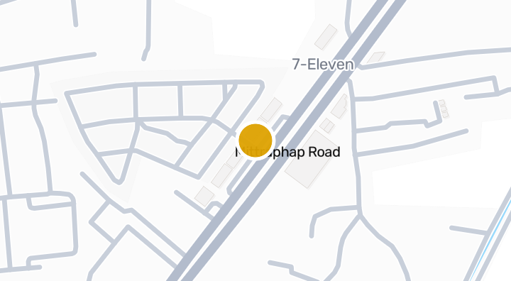
The Sixnature co ho Condominium in Cho Ho, Nakhon Ratchasima
Eigentumswohnung
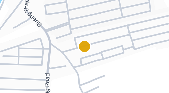
The Aiyara Jorhor-Buengtubchang Condominium in Cho Ho, Nakhn
Eigentumswohnung
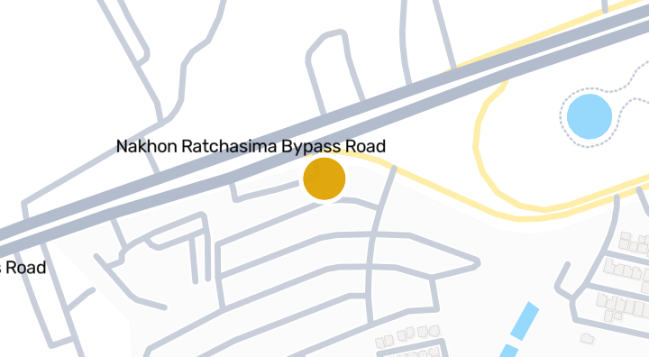
Homegardenville Cho Ho | Condominium in Mueang Nakhon Ratcha
Eigentumswohnung

The Icon 5 Suranarai - Condominium in Khok Sung, Mueang Nakh
Eigentumswohnung
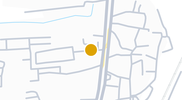
Baan Nara Korat
Eigentumswohnung
Beyond Joho-Srakrok
Eigentumswohnung
Ban Imoun Korat Condominium in Talat, Mueang Nakhon Ratchas
Eigentumswohnung
Homegardenville By Pass
Eigentumswohnung
Trenino Condo | Talat, Mueang Nakhon Ratchasima
Eigentumswohnung
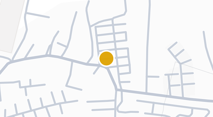
Homegardenville Suranarai | Condo in Ban Ko, Nakhon Ratchas
Eigentumswohnung
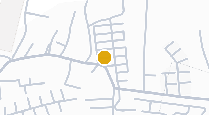
Suranarai 2 Condominium in Ban Ko, Mueang Nakhon Ratchasima
Eigentumswohnung
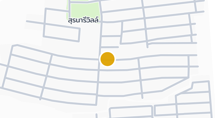
Suranaree Ville Ban Koh Condominium in Talat, Nakhon Ratchas
Eigentumswohnung
Erhalte eine Benachrichtigung, wenn neue Einheiten in Supalai Bella Nakhon Ratchasima verfügbar werden.
Mehr entdecken
Immobilien durchsuchen
BaanMe — Ihre vertrauenswürdige Plattform für Immobilienangebote, Markteinblicke und Marktanalysen.
Alle 77 Provinzen Thailands entdecken
Navigieren Sie auf der interaktiven Karte von 77 Provinzen zu 928 Bezirken und 7.425 Unterbezirken und vergleichen Sie Immobilien, Preise, Projekte und lokale Ratgeber.
Immobilien nahe Verkehr, Schulen und Wahrzeichen
Wählen Sie einen Ort, der für Ihren Alltag wichtig ist, und vergleichen Sie aktuelle Miet- und Kaufangebote in der Nähe. Für jeden Ort unten gibt es aktive Angebote im Suchgebiet.
Immobilienmarktbericht Thailand
Median-Angebotspreise aller aktiven Angebote in Thailand, in thailändischem Baht.