Bang Phut
Bang Phut is a subdistrict in Mueang Pathum Thani, Pathum Thani. It has property inventory records available for those exploring the local real estate market. No verified places of interest are currently listed for this area.
Last updated: November 2026
—
Active Listings
0
For rent
0
For sale
—
Median Sale Price
—
Median Monthly Rent
—
Price per sqm
Properties in Bang Phut
No properties found yet
No properties found in this area yet.
Browse all of ThailandGet notified when new properties are listed in Bang Phut.
Area profile: Bang Phut
Everything we know about this area, from official Thai government and open sources.
Official land appraisal (municipal area)
Median appraisal
฿2,600 / sq. wah
Construction cost (province median)
People
7,044+5.3% since 2021
Gender split
Registered houses
2,864
Population density
1,149.6 people / km²
People per house
2.5
Environment
Air quality
Province-level reading (Pathum Thani)
PM2.5 annual mean
30.8 µg/m³
PM10 annual mean
55.9 µg/m³
WHO guideline: 5 µg/m³ PM2.5 / 15 µg/m³ PM10. Thai standard: 15 µg/m³ PM2.5 / 50 µg/m³ PM10.
Terrain & climate
Elevation range
2.9 m
Flood exposure
Check a specific address on the flood history map
Flash-flood terrain susceptibility
Sinkhole susceptibility (DMR)
Not assessed by DMR — this area has not been surveyed for sinkhole susceptibility.
Height above nearest drainage (10th percentile)
-1.7 m
Distance to nearest stream (10th percentile)
3,263.9 m
Terrain slope (90th percentile)
0.3%
Drought
Rainfall deficit vs 1981–2010+ normal (CHIRPS) — a meteorological reading, not soil moisture, and not a forecast.
Latest 3-month rainfall vs normal
102.8%
Share of 10-day periods in deficit (10y)
20.6%
Worst 3-month deficit (10y)
23.1%
Air quality
PM2.5 — OpenAQ
Reference-grade station
30.8 µg/m³
PM10 — OpenAQ
Reference-grade station
55.9 µg/m³
Amenities in Bang Phut
What's within reach — shops, schools, transit and more.
Amenity data © OpenStreetMap contributors
Projects in Bang Phut
Condos and developments in this area
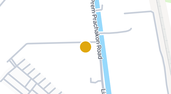
Explore PruksaVille Rangsit - Soi Workpoint
Map of Bang Phut
Tap a region to drill into its districts and subdistricts.
Nearby Areas
Explore more neighborhoods and find homes that match your lifestyle.
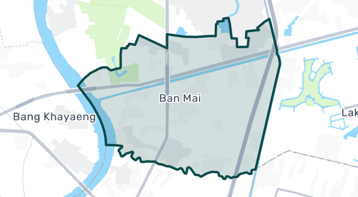
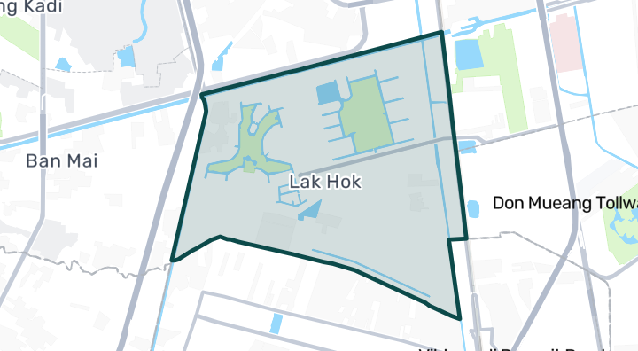
Explore more
Browse Projects
Condos, housing estates, and developments across Thailand with listings available now.
Homes near transit, schools and landmarks
Choose a place that matters to your daily life, then compare live rentals and homes for sale nearby. Every place below has active inventory in its search area.
Thailand Property Market Report
Median asking prices across all active listings in Thailand, in Thai Baht.
Browse Properties in Bang Phut
Find exactly what you're looking for
Frequently asked about Bang Phut
What's the air quality like in Bang Phut?
Bang Phut's annual mean PM2.5 is 30.8 µg/m³, against a WHO guideline of 5 µg/m³ and a Thai standard of 15 µg/m³. This is a Province-level reading, not a station within the area itself.
Is Bang Phut at risk of flooding?
Bang Phut's flash-flood terrain susceptibility is Low.
What's the population of Bang Phut?
Bang Phut has a registered population of 7,044 (+5.3% since 2021).
What is the official land appraisal price in Bang Phut?
The Treasury Department's official land appraisal for Bang Phut (this subdistrict) is ฿2,600 per square wah (median) — an assessed value used for transfer fees and taxes, not a market price.
How bad is air pollution in Bang Phut?
According to OpenAQ reference-grade monitoring stations, the annual mean PM2.5 level in Bang Phut is 30.8 µg/m³.