—
Active Listings
0
For rent
0
For sale
—
Median Sale Price
—
Median Monthly Rent
—
Price per sqm
No properties found yet
No properties found in this area yet.
Browse all of ThailandGet notified when new properties are listed in Ko Lanta.
Everything we know about this area, from official Thai government and open sources.
36,656+1.6% since 2021
Gender split
Registered houses
16,840
Population density
112.4 people / km²
People per house
2.2
Check a specific address on the flood history map
Flash-flood terrain susceptibility
Sinkhole susceptibility (DMR)
Not assessed by DMR — this area has not been surveyed for sinkhole susceptibility.
Height above nearest drainage (10th percentile)
-0.1 m
What's within reach — shops, schools, transit and more.
Condos and developments in this area

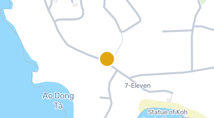
Alama Sea Village Resort is a condominium project located on Ko Lanta Yai, Ko Lanta, Krabi. The resort is situated close to several notable spots, including the Statue of Koh Lanta from the French TV show Survivor about 1 minute away and Ba Kan Tiang Beach about 2 minutes away. Phuket Airpark is approximately 234 minutes from the project. The surrounding Ko Lanta Yai area is known for its beaches, contributing to its coastal appeal.
Explore Lanta Maikaew Villa

Explore Lanta Sunrise Hill

Explore Lanta Villa
Tap a region to drill into its districts and subdistricts.
Find exactly what you're looking for
Ko Lanta has 3 supermarkets, 1 shopping center, 4 hospitals, and 1 park nearby, based on OpenStreetMap data. Nearby options include Walking Street, Koh Lanta Hospital, and Saladan Health Centre.
Ko Lanta's flash-flood terrain susceptibility is Low.
Ko Lanta has a registered population of 36,656 (+1.6% since 2021).
Condos, housing estates, and developments across Thailand with listings available now.
Choose a place that matters to your daily life, then compare live rentals and homes for sale nearby. Every place below has active inventory in its search area.
Median asking prices across all active listings in Thailand, in Thai Baht.
Distance to nearest stream (10th percentile)
3,156 m
Terrain slope (90th percentile)
4.2%
Amenity data © OpenStreetMap contributors