Tha Talat
Tha Talat is a subdistrict in Sam Phran, Nakhon Pathom, with property inventory records available. The area is served by two hospitals, Metta Pracharak Hospital and Samphran Hospital, and has one nearby convenience store.
Last updated: November 2026
—
Active Listings
0
For rent
0
For sale
—
Median Sale Price
—
Median Monthly Rent
—
Price per sqm
Properties in Tha Talat
No properties found yet
No properties found in this area yet.
Browse all of ThailandGet notified when new properties are listed in Tha Talat.
Area profile: Tha Talat
Everything we know about this area, from official Thai government and open sources.
Official land appraisal (municipal area)
Median appraisal
฿4,500 / sq. wah
Median appraisal
฿5,250 / sq. wah
Construction cost (province median)
People
16,374+0.5% since 2021
Gender split
Registered houses
11,152
Population density
1,566 people / km²
People per house
1.5
Environment
Air quality
Province-level reading (Nakhon Pathom)
PM2.5 annual mean
26.1 µg/m³
PM10 annual mean
65.1 µg/m³
WHO guideline: 5 µg/m³ PM2.5 / 15 µg/m³ PM10. Thai standard: 15 µg/m³ PM2.5 / 50 µg/m³ PM10.
Terrain & climate
Elevation range
6.7 m
Flood exposure
Check a specific address on the flood history map
Flash-flood terrain susceptibility
Sinkhole susceptibility (DMR)
Not assessed by DMR — this area has not been surveyed for sinkhole susceptibility.
Height above nearest drainage (10th percentile)
-0.7 m
Distance to nearest stream (10th percentile)
184.9 m
Terrain slope (90th percentile)
0.5%
Drought
Rainfall deficit vs 1981–2010+ normal (CHIRPS) — a meteorological reading, not soil moisture, and not a forecast.
Latest 3-month rainfall vs normal
96.7%
Share of 10-day periods in deficit (10y)
21.4%
Worst 3-month deficit (10y)
27.9%
Air quality
PM2.5 — OpenAQ
Reference-grade station
26.1 µg/m³
PM10 — OpenAQ
Reference-grade station
65.1 µg/m³
Amenities in Tha Talat
What's within reach — shops, schools, transit and more.
Supermarkets(1)Show
- Tesco Lotus1.6 km
Schools(2)Show
- King's College512 m
- Ban Tha Talat School1.3 km
Hospitals(2)Show
- Samphran Hospital2.3 km
- Metta Pracharak Hospital2.4 km
Amenity data © OpenStreetMap contributors
Projects in Tha Talat
Condos and developments in this area
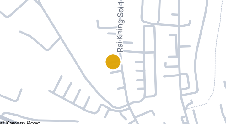
A.R.T Square Phuttamonthon Sai 5 Rd. is a condominium project located in Tha Talat, Sam Phran, Nakhon Pathom. The project sits about 5 minutes from the 1978 World Orchid Conference attraction, while Kamphaeng Saen Airport is roughly 62 minutes away. Two parks, Rose Garden and Vegetable Garden, are located about 1031m and 1069m away respectively. The surrounding area also includes 1 nearby beach and 1 nearby school. The developer and completion date for this project are not available.
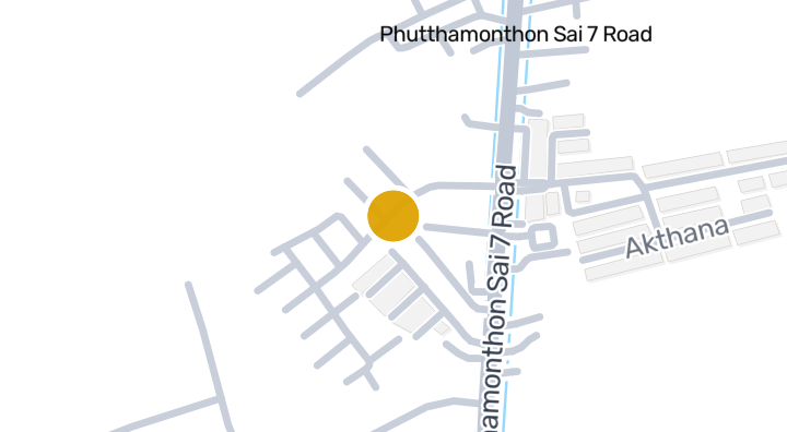
Grandity Phetkasem-Phutthamonthon Sai 7 is a condominium project located in Tha Talat, Sam Phran, Nakhon Pathom. The developer and completion date have not been disclosed. Nearby, residents can reach the 1978 World Orchid Conference attraction in about 13 minutes and Kamphaeng Saen Airport in about 59 minutes. The project also has one nearby beach.
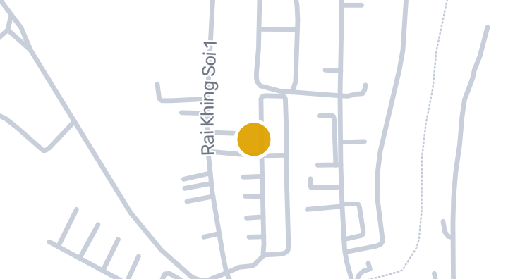
Petch Tawi Petchkasem-Raiking is a condominium located in Tha Talat, Sam Phran, Nakhon Pathom. The project is situated near several points of interest, including the 1978 World Orchid Conference attraction about 5 minutes away, Rose Garden park roughly 1,092 meters away, and Vegetable Garden park approximately 1,128 meters away. Kamphaeng Saen Airport can be reached in about 62 minutes. There is also one beach in the vicinity.
Explore Pruksaville 56 Puttamonton5
Explore Sena ville Borommaratchachonnani-Sai 5
Explore Supha Mongkhon Village
Living in Tha Talat
Local insights, lifestyle, and what to expect
16,374
Registered population
6
Projects
About Tha Talat
Tha Talat is a subdistrict in Sam Phran district, Nakhon Pathom province. It is a local community within the wider Sam Phran area, west of Bangkok.
Healthcare
The subdistrict is served by two hospitals: Metta Pracharak Hospital and Samphran Hospital, giving residents access to medical care close to home.
Daily Conveniences
A convenience store is located nearby, covering everyday essentials for residents.
Map of Tha Talat
Tap a region to drill into its districts and subdistricts.
Explore more
Browse Projects
Condos, housing estates, and developments across Thailand with listings available now.
Homes near transit, schools and landmarks
Choose a place that matters to your daily life, then compare live rentals and homes for sale nearby. Every place below has active inventory in its search area.
Thailand Property Market Report
Median asking prices across all active listings in Thailand, in Thai Baht.
Browse Properties in Tha Talat
Find exactly what you're looking for
Frequently asked about Tha Talat
What's near Tha Talat?
Tha Talat has 1 supermarket, 2 hospitals, and 3 restaurants and cafés nearby, based on OpenStreetMap data. Nearby options include Samphran Hospital and Metta Pracharak Hospital.
What's the air quality like in Tha Talat?
Tha Talat's annual mean PM2.5 is 26.1 µg/m³, against a WHO guideline of 5 µg/m³ and a Thai standard of 15 µg/m³. This is a Province-level-level reading, not a station within the area itself.
Is Tha Talat at risk of flooding?
Tha Talat's flash-flood terrain susceptibility is Moderate.
What's the population of Tha Talat?
Tha Talat has a registered population of 16,374 (+0.5% since 2021).
What is the official land appraisal price in Tha Talat?
The Treasury Department's official land appraisal for Tha Talat (this subdistrict) is ฿4,500 per square wah (median) — an assessed value used for transfer fees and taxes, not a market price.
How bad is air pollution in Tha Talat?
According to OpenAQ reference-grade monitoring stations, the annual mean PM2.5 level in Tha Talat is 26.1 µg/m³.