Supalai Bella Nakhon Ratchasima
- プール
- ジム
- キッズエリア
- 駐車スペース
- 24時間セキュリティ
- CCTV
- クラブハウス
所在地
Supalai Bella Nakhon Ratchasima
8分
Miss Bun Luea Memorialまで
78分
Hat Chom Thongまで
立地のリスクと周辺情報
- 河川洪水
- 過去の観測による区分は 低 です。将来の洪水確率ではありません。
- 資料の対象範囲: 観測による資料 · 信頼度:高
- 鉄砲水・急な洪水
- 分析に利用できる資料がありません。
- 資料の対象範囲: 根拠が不足しています
- 干ばつ
- 分析した10日間の期間の 15.277777777777779% で降雨が地域の平年値を下回りました。地域判定には本プロジェクトの基準を使用します。
- 資料の対象範囲: 周辺地域の状況 · 信頼度:中
- 大気質
- PM2.5 の年平均は 25.36896307793443 µg/m³、出典は OpenAQ です。現在の大気質ではありません。
- 資料の対象範囲: 周辺地域の状況 · 信頼度:中
- 火災
- 分析に利用できる資料がありません。
- 資料の対象範囲: 根拠が不足しています
- 暑熱
- 月最高気温の年平均は 31.608754680349847 °C です。地域判定には本プロジェクトの基準を使用し、個人の健康を予測するものではありません。
- 資料の対象範囲: 周辺地域の状況 · 信頼度:中
洪水
河川氾濫
低 — 観測対象の事象で大きな浸水は確認されていません
信頼度:高
河川氾濫リスクは、タイ北部の4県(チェンマイ、チェンライ、ランプーン、パヤオ)をカバーする2024年の単一の衛星観測イベントのみに基づいて評価されています。それ以外の地域で「未確認」と表示される場合、観測データがまだ存在しないことを意味し、安全であることを意味するものではありません。
鉄砲水
未評価
信頼度:中
- 最寄りの排水路からの高さ:-3.3 m
- 傾斜:0.2%
鉄砲水の地形データはOpenStreetMapの水路データに基づいています。 OpenStreetMapの帰属表示を見る
周辺エリア情報
- 政府建設コスト見積り(最大)
- 12,000 THB/m² — Nakhon Ratchasima県内
- 出典:Treasury Department (กรมธนารักษ์) construction cost appraisal · ライセンス:Open Data Common (Treasury Department building valuation catalogue) · 2024-08-15〜2027-12-31
- 政府建設コスト見積り(中央値)
- 7,550 THB/m² — Nakhon Ratchasima県内
- 出典:Treasury Department (กรมธนารักษ์) construction cost appraisal · ライセンス:Open Data Common (Treasury Department building valuation catalogue) · 2024-08-15〜2027-12-31
- 政府建設コスト見積り(最小)
- 450 THB/m² — Nakhon Ratchasima県内
- 出典:Treasury Department (กรมธนารักษ์) construction cost appraisal · ライセンス:Open Data Common (Treasury Department building valuation catalogue) · 2024-08-15〜2027-12-31
- 政府地価評価額(自治体)(最大)(実勢価格ではなく、税・登記費用算定用の評価額)
- 12,500 THB/sq_wah — Cho Ho地区内
- 出典:Treasury Department (กรมธนารักษ์) land valuation (ราคาประเมินที่ดิน) - attach_all_20240805.csv — เทศบาลตำบลจอหอ (municipal area) · ライセンス:Open Data Common · 2024-08-14〜2024-08-14
- 政府地価評価額(自治体)(中央値)(実勢価格ではなく、税・登記費用算定用の評価額)
- 1,000 THB/sq_wah — Cho Ho地区内
- 出典:Treasury Department (กรมธนารักษ์) land valuation (ราคาประเมินที่ดิน) - attach_all_20240805.csv — เทศบาลตำบลจอหอ (municipal area) · ライセンス:Open Data Common · 2024-08-14〜2024-08-14
- 政府地価評価額(自治体)(最小)(実勢価格ではなく、税・登記費用算定用の評価額)
- 500 THB/sq_wah — Cho Ho地区内
- 出典:Treasury Department (กรมธนารักษ์) land valuation (ราคาประเมินที่ดิน) - attach_all_20240805.csv — เทศบาลตำบลจอหอ (municipal area) · ライセンス:Open Data Common · 2024-08-14〜2024-08-14
- 政府地価評価額(地区)(最大)(実勢価格ではなく、税・登記費用算定用の評価額)
- 6,000 THB/sq_wah — Cho Ho地区内
- 出典:Treasury Department (กรมธนารักษ์) land valuation (ราคาประเมินที่ดิน) - attach_all_20240805.csv · ライセンス:Open Data Common · 2024-08-14〜2024-08-14
- 政府地価評価額(地区)(中央値)(実勢価格ではなく、税・登記費用算定用の評価額)
- 400 THB/sq_wah — Cho Ho地区内
- 出典:Treasury Department (กรมธนารักษ์) land valuation (ราคาประเมินที่ดิน) - attach_all_20240805.csv · ライセンス:Open Data Common · 2024-08-14〜2024-08-14
- 政府地価評価額(地区)(最小)(実勢価格ではなく、税・登記費用算定用の評価額)
- 200 THB/sq_wah — Cho Ho地区内
- 出典:Treasury Department (กรมธนารักษ์) land valuation (ราคาประเมินที่ดิน) - attach_all_20240805.csv · ライセンス:Open Data Common · 2024-08-14〜2024-08-14
- 最も乾燥する月
- 12月 — Nakhon Ratchasima県内
- 出典:Open-Meteo (ERA5 reanalysis, via archive-api.open-meteo.com) · ライセンス:CC BY 4.0 (Attribution 4.0 International) -- https://open-meteo.com/en/licence · 1991-01-01〜2020-12-31
- Climate rainfall annual total mean mm
- 1,087.9 mm — Nakhon Ratchasima県内
- 出典:Open-Meteo (ERA5 reanalysis, via archive-api.open-meteo.com) · ライセンス:CC BY 4.0 (Attribution 4.0 International) -- https://open-meteo.com/en/licence · 1991-01-01〜2020-12-31
- 平均最高気温
- 31.6 C — Nakhon Ratchasima県内
- 出典:Open-Meteo (ERA5 reanalysis, via archive-api.open-meteo.com) · ライセンス:CC BY 4.0 (Attribution 4.0 International) -- https://open-meteo.com/en/licence · 1991-01-01〜2020-12-31
- 最も雨の多い月
- 9月 — Nakhon Ratchasima県内
- 出典:Open-Meteo (ERA5 reanalysis, via archive-api.open-meteo.com) · ライセンス:CC BY 4.0 (Attribution 4.0 International) -- https://open-meteo.com/en/licence · 1991-01-01〜2020-12-31
- 最寄りの排水路からの高さ(中央値)
- 10.3 m — Mueang Nakhon Ratchasima郡内
- 出典:Terrain-derived flash-flood indicators (HAND + slope + OSM drainage proximity; NOT a forecast or probability, not calibrated against observed events) from Copernicus DEM GLO-30 (via Mapterhorn terrain tiles) and OpenStreetMap waterway data. The banded metric flags whether the region CONTAINS terrain susceptible to flash flooding somewhere within it -- not the susceptibility of the region as a whole, and not of any individual property. · ライセンス:Copernicus WorldDEM-30 Licence, commercial use permitted (see ./region-elevation.ts's ELEVATION_SOURCE_LICENSE for the full citation) combined with OpenStreetMap contributors: ODbL 1.0 (https://www.openstreetmap.org/copyright) · 2010-12-12〜2015-01-07
- 最寄りの排水路からの高さ(下位10%)
- -1.9 m — Mueang Nakhon Ratchasima郡内
- 出典:Terrain-derived flash-flood indicators (HAND + slope + OSM drainage proximity; NOT a forecast or probability, not calibrated against observed events) from Copernicus DEM GLO-30 (via Mapterhorn terrain tiles) and OpenStreetMap waterway data. The banded metric flags whether the region CONTAINS terrain susceptible to flash flooding somewhere within it -- not the susceptibility of the region as a whole, and not of any individual property. · ライセンス:Copernicus WorldDEM-30 Licence, commercial use permitted (see ./region-elevation.ts's ELEVATION_SOURCE_LICENSE for the full citation) combined with OpenStreetMap contributors: ODbL 1.0 (https://www.openstreetmap.org/copyright) · 2010-12-12〜2015-01-07
- 地形の傾斜(中央値)
- 0.2% — Mueang Nakhon Ratchasima郡内
- 出典:Terrain-derived flash-flood indicators (HAND + slope + OSM drainage proximity; NOT a forecast or probability, not calibrated against observed events) from Copernicus DEM GLO-30 (via Mapterhorn terrain tiles) and OpenStreetMap waterway data. The banded metric flags whether the region CONTAINS terrain susceptible to flash flooding somewhere within it -- not the susceptibility of the region as a whole, and not of any individual property. · ライセンス:Copernicus WorldDEM-30 Licence, commercial use permitted (see ./region-elevation.ts's ELEVATION_SOURCE_LICENSE for the full citation) combined with OpenStreetMap contributors: ODbL 1.0 (https://www.openstreetmap.org/copyright) · 2010-12-12〜2015-01-07
- 地形の傾斜(急な方10%)
- 0.4% — Mueang Nakhon Ratchasima郡内
- 出典:Terrain-derived flash-flood indicators (HAND + slope + OSM drainage proximity; NOT a forecast or probability, not calibrated against observed events) from Copernicus DEM GLO-30 (via Mapterhorn terrain tiles) and OpenStreetMap waterway data. The banded metric flags whether the region CONTAINS terrain susceptible to flash flooding somewhere within it -- not the susceptibility of the region as a whole, and not of any individual property. · ライセンス:Copernicus WorldDEM-30 Licence, commercial use permitted (see ./region-elevation.ts's ELEVATION_SOURCE_LICENSE for the full citation) combined with OpenStreetMap contributors: ODbL 1.0 (https://www.openstreetmap.org/copyright) · 2010-12-12〜2015-01-07
- 最寄りの水路までの距離(中央値)
- 25,359.6 m — Mueang Nakhon Ratchasima郡内
- 出典:Terrain-derived flash-flood indicators (HAND + slope + OSM drainage proximity; NOT a forecast or probability, not calibrated against observed events) from Copernicus DEM GLO-30 (via Mapterhorn terrain tiles) and OpenStreetMap waterway data. The banded metric flags whether the region CONTAINS terrain susceptible to flash flooding somewhere within it -- not the susceptibility of the region as a whole, and not of any individual property. · ライセンス:Copernicus WorldDEM-30 Licence, commercial use permitted (see ./region-elevation.ts's ELEVATION_SOURCE_LICENSE for the full citation) combined with OpenStreetMap contributors: ODbL 1.0 (https://www.openstreetmap.org/copyright) · 2010-12-12〜2015-01-07
- 最寄りの水路までの距離(近い方10%)
- 11,129.9 m — Mueang Nakhon Ratchasima郡内
- 出典:Terrain-derived flash-flood indicators (HAND + slope + OSM drainage proximity; NOT a forecast or probability, not calibrated against observed events) from Copernicus DEM GLO-30 (via Mapterhorn terrain tiles) and OpenStreetMap waterway data. The banded metric flags whether the region CONTAINS terrain susceptible to flash flooding somewhere within it -- not the susceptibility of the region as a whole, and not of any individual property. · ライセンス:Copernicus WorldDEM-30 Licence, commercial use permitted (see ./region-elevation.ts's ELEVATION_SOURCE_LICENSE for the full citation) combined with OpenStreetMap contributors: ODbL 1.0 (https://www.openstreetmap.org/copyright) · 2010-12-12〜2015-01-07
- 鉄砲水に対する地形の脆弱性
- 低 — Mueang Nakhon Ratchasima郡内
- 出典:Terrain-derived flash-flood indicators (HAND + slope + OSM drainage proximity; NOT a forecast or probability, not calibrated against observed events) from Copernicus DEM GLO-30 (via Mapterhorn terrain tiles) and OpenStreetMap waterway data. The banded metric flags whether the region CONTAINS terrain susceptible to flash flooding somewhere within it -- not the susceptibility of the region as a whole, and not of any individual property. · ライセンス:Copernicus WorldDEM-30 Licence, commercial use permitted (see ./region-elevation.ts's ELEVATION_SOURCE_LICENSE for the full citation) combined with OpenStreetMap contributors: ODbL 1.0 (https://www.openstreetmap.org/copyright) · 2010-12-12〜2015-01-07
- 標高(最大)
- 182.8 m — Cho Ho地区内
- 出典:Mapterhorn terrain tiles (Copernicus DEM GLO-30 / WorldDEM-30, terrarium encoding, via tiles.mapterhorn.com) · ライセンス:Copernicus WorldDEM-30 Licence (COP-DEM-GLO-30-F, 'Global 30m Full, Free & Open' -- https://documentation.dataspace.copernicus.eu/APIs/SentinelHub/Data/DEM/resources/license/License-COPDEM-30.pdf); free of charge, reproduction/distribution/public-communication/adaptation all granted, commercial use permitted; required notice: "produced using Copernicus WorldDEM-30 © DLR e.V. 2010-2014 and © Airbus Defence and Space GmbH 2014-2018 provided under COPERNICUS by the European Union and ESA; all rights reserved." Tiles served by Mapterhorn (© Mapterhorn, https://mapterhorn.com/attribution) -- both notices required. · 2010-12-12〜2015-01-07
- 標高(中央値)
- 177.7 m — Cho Ho地区内
- 出典:Mapterhorn terrain tiles (Copernicus DEM GLO-30 / WorldDEM-30, terrarium encoding, via tiles.mapterhorn.com) · ライセンス:Copernicus WorldDEM-30 Licence (COP-DEM-GLO-30-F, 'Global 30m Full, Free & Open' -- https://documentation.dataspace.copernicus.eu/APIs/SentinelHub/Data/DEM/resources/license/License-COPDEM-30.pdf); free of charge, reproduction/distribution/public-communication/adaptation all granted, commercial use permitted; required notice: "produced using Copernicus WorldDEM-30 © DLR e.V. 2010-2014 and © Airbus Defence and Space GmbH 2014-2018 provided under COPERNICUS by the European Union and ESA; all rights reserved." Tiles served by Mapterhorn (© Mapterhorn, https://mapterhorn.com/attribution) -- both notices required. · 2010-12-12〜2015-01-07
- 標高(最小)
- 173.7 m — Cho Ho地区内
- 出典:Mapterhorn terrain tiles (Copernicus DEM GLO-30 / WorldDEM-30, terrarium encoding, via tiles.mapterhorn.com) · ライセンス:Copernicus WorldDEM-30 Licence (COP-DEM-GLO-30-F, 'Global 30m Full, Free & Open' -- https://documentation.dataspace.copernicus.eu/APIs/SentinelHub/Data/DEM/resources/license/License-COPDEM-30.pdf); free of charge, reproduction/distribution/public-communication/adaptation all granted, commercial use permitted; required notice: "produced using Copernicus WorldDEM-30 © DLR e.V. 2010-2014 and © Airbus Defence and Space GmbH 2014-2018 provided under COPERNICUS by the European Union and ESA; all rights reserved." Tiles served by Mapterhorn (© Mapterhorn, https://mapterhorn.com/attribution) -- both notices required. · 2010-12-12〜2015-01-07
- 標高(範囲)
- 9.1 m — Cho Ho地区内
- 出典:Mapterhorn terrain tiles (Copernicus DEM GLO-30 / WorldDEM-30, terrarium encoding, via tiles.mapterhorn.com) · ライセンス:Copernicus WorldDEM-30 Licence (COP-DEM-GLO-30-F, 'Global 30m Full, Free & Open' -- https://documentation.dataspace.copernicus.eu/APIs/SentinelHub/Data/DEM/resources/license/License-COPDEM-30.pdf); free of charge, reproduction/distribution/public-communication/adaptation all granted, commercial use permitted; required notice: "produced using Copernicus WorldDEM-30 © DLR e.V. 2010-2014 and © Airbus Defence and Space GmbH 2014-2018 provided under COPERNICUS by the European Union and ESA; all rights reserved." Tiles served by Mapterhorn (© Mapterhorn, https://mapterhorn.com/attribution) -- both notices required. · 2010-12-12〜2015-01-07
- 10日間単位での降水不足の割合(過去10年)
- 15.3% — Mueang Nakhon Ratchasima郡内
- 出典:Climate Hazards Center UC Santa Barbara & WFP -- Thailand: Rainfall Indicators at Subnational Level (HDX) · ライセンス:CC BY (Creative Commons Attribution International) · 2016-01-01〜2025-12-31
- 過去10年で最悪の3か月降水不足
- 28.8% — Mueang Nakhon Ratchasima郡内
- 出典:Climate Hazards Center UC Santa Barbara & WFP -- Thailand: Rainfall Indicators at Subnational Level (HDX) · ライセンス:CC BY (Creative Commons Attribution International) · 2016-01-01〜2025-12-31
- PM2.5 年平均値(低価格センサー)
- 40.5 µg/m³ — Nakhon Ratchasima県内
- 出典:OpenAQ — โรงเรียนบ้านหินโคน-2783856 (low-cost) · ライセンス:CC BY 4.0 (AirGradient via OpenAQ) · 2025-01-01〜2025-04-07
- PM2.5 年平均値
- 25.4 µg/m³ — Nakhon Ratchasima県内
- 出典:OpenAQ — Municipal Waste Water Pumping Station-237898 (reference) · ライセンス:Open Data Common (Pollution Control Department) · 2025-01-01〜2025-12-31
- 直近3か月の降水量(平年比)
- 99.9% — Mueang Nakhon Ratchasima郡内
- 出典:Climate Hazards Center UC Santa Barbara & WFP -- Thailand: Rainfall Indicators at Subnational Level (HDX) · ライセンス:CC BY (Creative Commons Attribution International) · 2026-07-01〜2026-09-21
スクリーニング資料は、安全の保証、将来のリスク予測、現地調査ではありません。
デベロッパー
Supalai
物件レビュー
まだレビューがありません。最初のレビューを投稿しましょう。
レビュー
レビューを書く
サインインが必要です。1つのプロジェクトにつきレビューは1件まで。
レビューを投稿するにはサインインしてください。
近くのプロジェクト
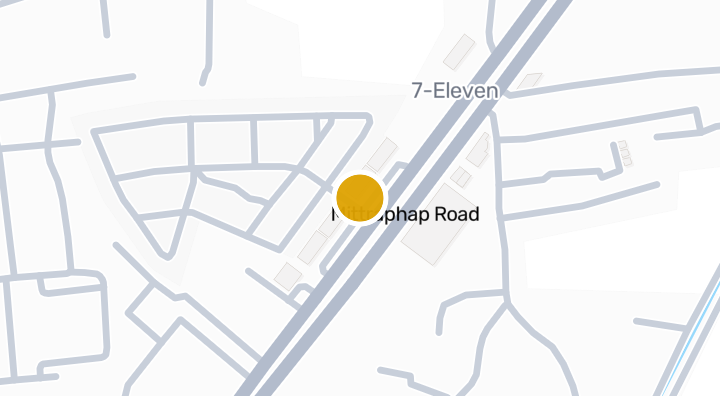
The Sixnature co ho Condominium in Cho Ho, Nakhon Ratchasima
コンドミニアム
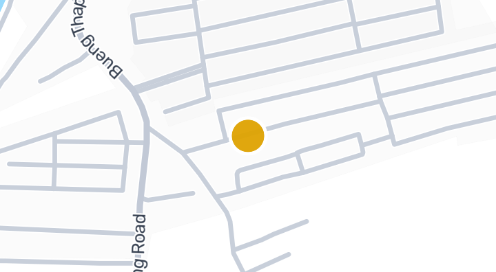
The Aiyara Jorhor-Buengtubchang Condominium in Cho Ho, Nakhn
コンドミニアム
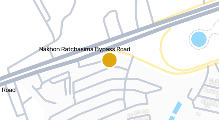
Homegardenville Cho Ho | Condominium in Mueang Nakhon Ratcha
コンドミニアム

The Icon 5 Suranarai - Condominium in Khok Sung, Mueang Nakh
コンドミニアム
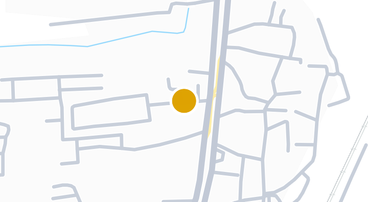
Baan Nara Korat
コンドミニアム
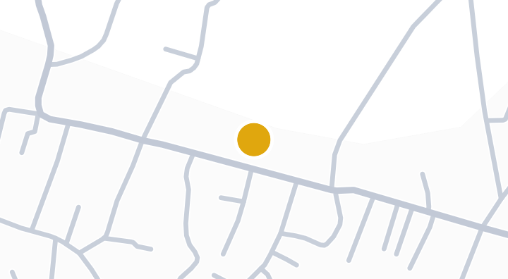
Beyond Joho-Srakrok
コンドミニアム
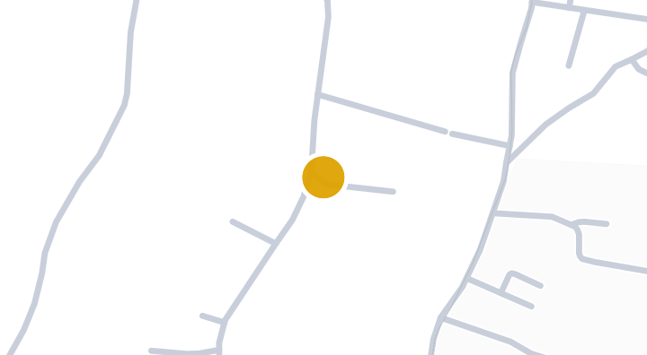
Ban Imoun Korat Condominium in Talat, Mueang Nakhon Ratchas
コンドミニアム
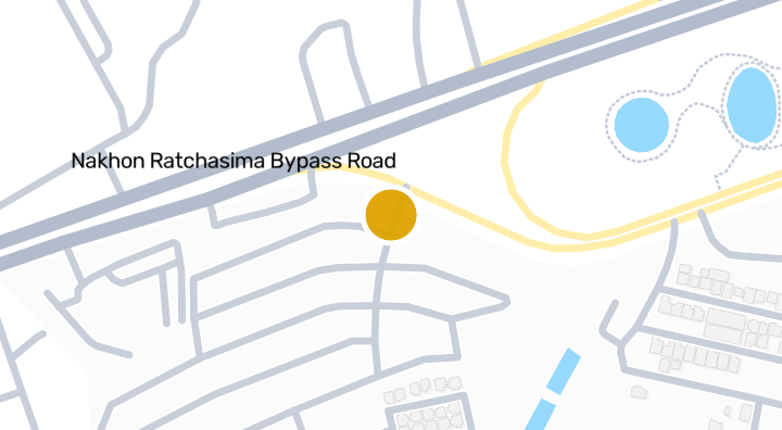
Homegardenville By Pass
コンドミニアム
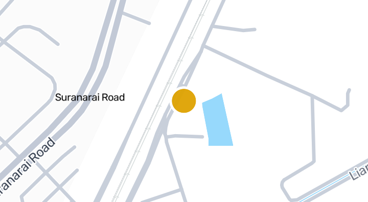
Trenino Condo | Talat, Mueang Nakhon Ratchasima
コンドミニアム
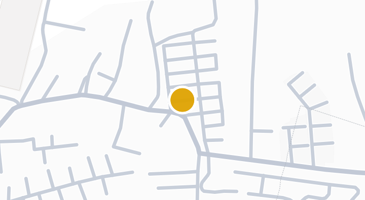
Homegardenville Suranarai | Condo in Ban Ko, Nakhon Ratchas
コンドミニアム
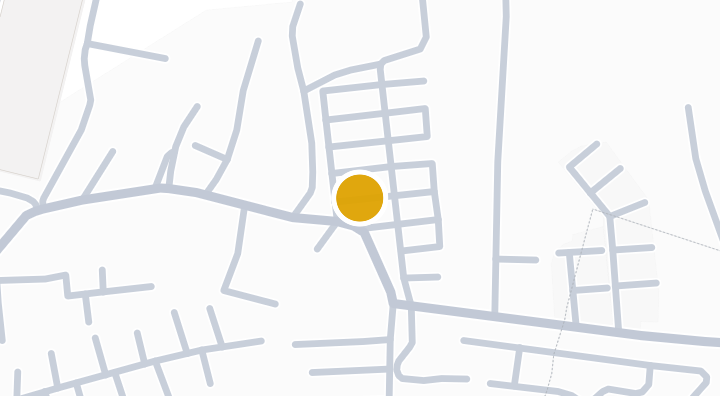
Suranarai 2 Condominium in Ban Ko, Mueang Nakhon Ratchasima
コンドミニアム
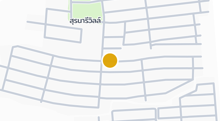
Suranaree Ville Ban Koh Condominium in Talat, Nakhon Ratchas
コンドミニアム
Supalai Bella Nakhon Ratchasimaで新しいユニットが空いたら通知します。