집 임대하기

임대 콘도

임대 주택

임대 빌라

임대 아파트

집 구매하기

매매 콘도

매매 주택

매매 빌라

매매 토지

둘러보기

지역

인터랙티브 지도에서 77개 주부터 928개 군과 7,425개 하위 지역까지 이동하며 현지 주택, 가격, 프로젝트와 지역 가이드를 비교하세요.

프로젝트 둘러보기

활성 매물이 있는 콘도, 주택 단지 및 개발 프로젝트를 검색하세요

교통, 학교 및 랜드마크 인근 주택

일상에 중요한 장소를 선택한 뒤 근처의 최신 임대 및 매매 주택을 비교하세요. 아래 모든 장소의 검색 범위에는 실제 등록 매물이 있습니다.

소유자가 승인한 매각 기회

가격을 확인하고 상담할 의향이 있는 소유자의 부동산을 살펴보세요. 매각을 서두르지 않는 소유자도 포함됩니다.

가까운 중개인을 찾아보세요

지역별로 검증된 부동산 중개인 및 중개업체를 활성 매물과 리뷰와 함께 둘러보세요.

자료실

가이드 및 인사이트

태국 부동산 시장 리포트

네트워크 내 활성 매물이 가장 많은 주입니다. 주를 클릭하면 전체 시장 리포트를 볼 수 있습니다.

베스트 가이드

태국에서 매매, 임대, 거주하기 좋은 지역 추천

비자 정보

태국 비자 종류, 연장 및 신청 안내

태국 부동산법

공식 출처를 통해 검증한 외국인 구매자, 태국인 구매자 및 임차인을 위한 알기 쉬운 태국 부동산법 가이드.

태국 홍수 이력 지도

무료 도구: 과거 위성(SAR) 홍수 관측 데이터를 이용해 태국의 주소, 소이, 콘도 프로젝트가 이전에 침수된 적이 있는지 확인하세요.

부동산 뉴스

공식 출처를 통해 검증한 태국 비자, 세금 및 부동산법의 최신 변경 사항.

전체 아티클

팁, 시장 동향, 부동산 가이드

도구

태국 주택담보대출 계산기

입력한 부동산 가격, 계약금, 연이율, 대출 기간으로 월 상환액을 계산해 보세요.

소유권 이전 비용 계산기

태국 부동산 이전 시 세금과 비용 예상

단위 변환

태국식 토지 단위와 국제 단위 간 변환

  • 임대 콘도
  • 임대 주택
  • 임대 빌라
  • 임대 아파트
  • 매매 콘도
  • 매매 주택
  • 매매 빌라
  • 매매 토지
  • 지역
  • 프로젝트 둘러보기
  • 교통, 학교 및 랜드마크 인근 주택
  • 소유자가 승인한 매각 기회
  • 가까운 중개인을 찾아보세요
  • 태국 부동산 시장 리포트
  • 베스트 가이드
  • 비자 정보
  • 태국 부동산법
  • 태국 홍수 이력 지도
  • 부동산 뉴스
  • 전체 아티클
  • 태국 주택담보대출 계산기
  • 소유권 이전 비용 계산기
  • 단위 변환

왜 BaanMe인가요?

신원 인증 중개인

모든 BaanMe 중개인은 매물을 등록하기 전에 태국 정부 발급 신분증으로 신원을 인증받습니다 — 항상 상대방이 누구인지 정확히 알 수 있으며, 문제를 일으킨 사용자는 영구적으로 제재됩니다.

안전한 앱 내 채팅 (출시 예정)

앱 내 메시지 기능을 개발 중입니다. 출시 전 연락 방법은 중개인과 매물에 따라 다릅니다.

보증금 보호 (출시 예정)

곧 BaanMe가 보증금을 에스크로로 안전하게 보관하고 모든 청구를 직접 검토합니다 — 부당한 공제나 연락 불가한 임대인 문제를 방지합니다.

계약 지원

서명하기 전에 중개인에게 제공 가능한 계약 언어와 조건을 확인하세요.

환경적 영향

저희는 고객님, 저희, 그리고 모든 사람의 환경을 소중히 여깁니다. 그래서 태국 빠이(Pai) 지역의 산림 복원에 힘쓰는 현지 NGO인 Conserve Natural Forests와 함께 열대우림 재조림에 힘쓰고 있습니다.

지역

  • Bangkok 매물
  • Chiang Mai 매물
  • Samut Prakan 매물
  • Phetchabun 매물
  • Lamphun 매물
  • Nonthaburi 매물
  • Chiang Rai 매물
  • Chon Buri 매물

매물 둘러보기

  • 방콕 콘도 임대
  • 방콕 아파트 임대
  • 치앙마이 단독주택 임대
  • 방콕 사무실 임대
  • 방콕 창고 임대
  • 코사무이 단독주택 임대
  • 전체 매물 →

자주 묻는 질문

  • Thailand Property Market Trends 2026: A Selective Recovery
  • 더보기 →

BaanMe

  • BaanMe 소개
  • 언론 문의
  • 브랜드 자료
  • 개인정보 보호정책
  • 이용약관
  • 지도 출처
  • 도움말
  • Google에서 BaanMe를 선호 소스로 추가
  • 계정 삭제

© Niklas Benjamin Muegge, 2026

  1. 홈
  2. …
    1. Bangkok
    2. Bang Rak
    3. Ashton Silom
  3. Bangkok
  4. Bang Rak
  5. Ashton Silom
  6. 임대
개요시설정보 및 통계위치개발사리뷰이용 가능한 콘도유사 프로젝트주변 프로젝트

Ashton Silom 임대 매물 22건

매매

฿7.5M – ฿19.0M

임대

฿25K – ฿140.8K

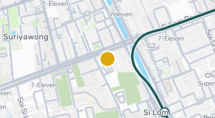
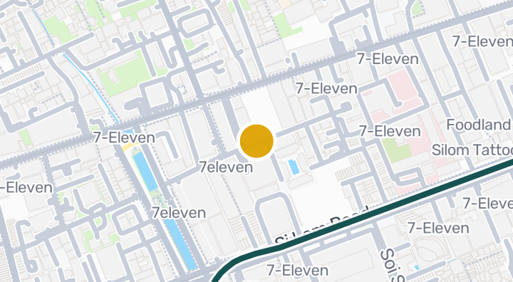
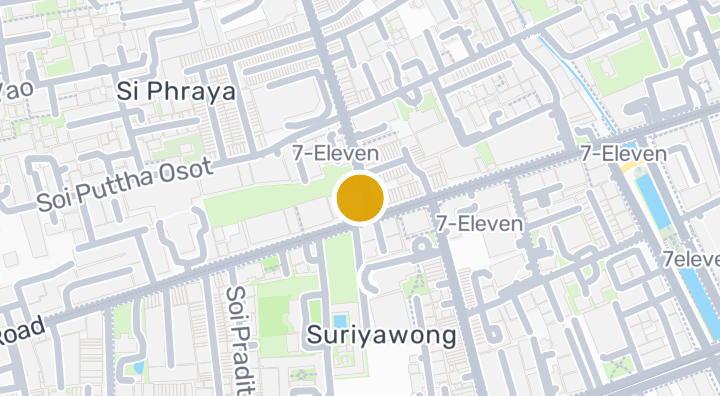
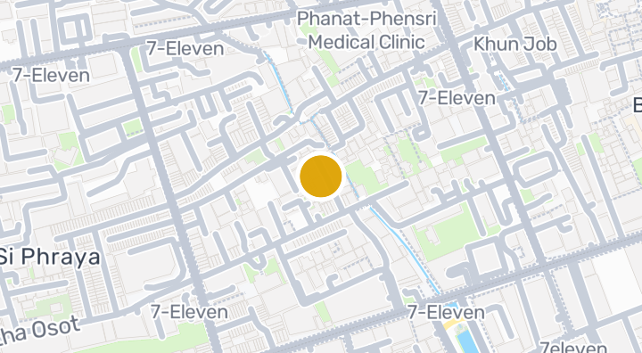
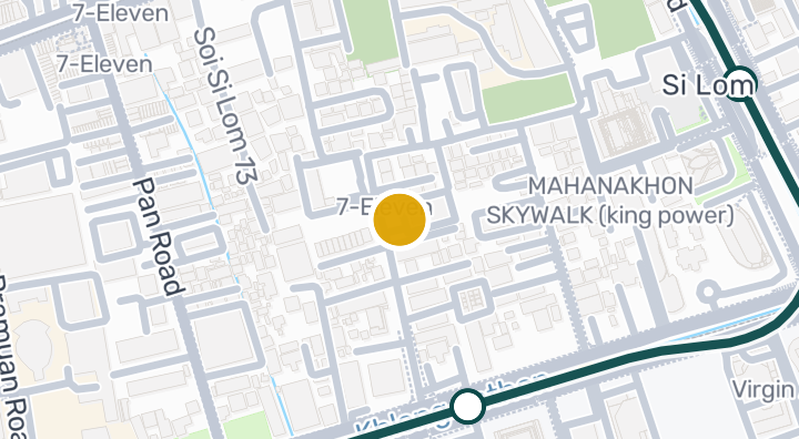
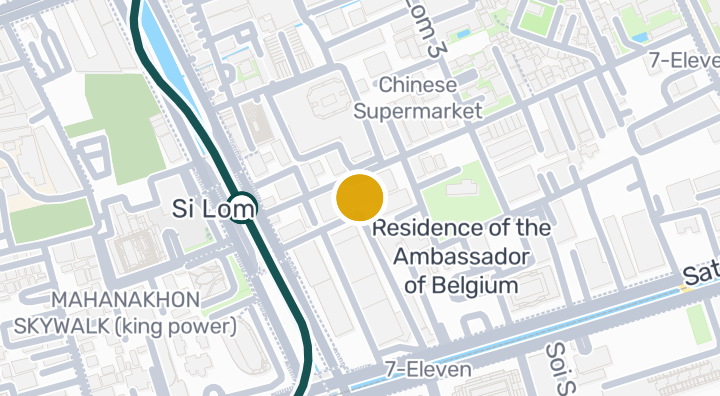
Ashton Silom is a condominium developed by Ananda, located in Suriyawong, Bang Rak, Bangkok. The project offers a comprehensive range of amenities, including a swimming pool, gym, and co-working space, alongside a jacuzzi, onsen, Finnish sauna, steam room, spa, and massage facilities. Additional features include a bar, lounge, library, garden, kids area, pool table, parking space, receptionist, concierge, CCTV, and 24-hour security. The development is situated near several green spaces, with Chong Nonsi Canal Park (Phase 2) about 126 m away, the Residence of the Ambassador of Belgium park about 578 m away, and Wat Hua Lamphong Rukkhaniwet Park about 664 m away. The Mahanakhon Skywalk (King Power) attraction is about 2 minutes from the project, while Kamphaeng Saen Airport is approximately 85 minutes away, and there is 1 nearby beach. Recent price data as of 2026-01-01 shows a median sale price of THB 9,510,000, or approximately THB 253,056 per square meter, based on 14 recent transactions.

입주 가능 콘도 보기
Ashton Silom 내
부대시설
  • 핀란드식 사우나
  • 코워킹 스페이스
  • 체육관
  • 주차 공간
  • 정원
  • 키즈 존
  • 스파
  • 리셉션
  • 라운지
  • 자쿠지
  • 도서관
  • 마사지룸
  • CCTV
  • 컨시어지
  • 바
  • 수영장
  • 24시간 보안
  • 사우나
  • 스팀룸
  • 온천
  • 포켓볼 테이블
주요 정보

429

세대수

309

주차 공간

2019

준공

위치

Bang Rak, Bangkok

6분

Chong Nonsi Station까지

85분

Kamphaeng Saen Airport까지

이동 시간

2분

Bang Rak, Bangkok

통근 시간 확인

장소를 저장하고 이 집에서의 이동 시간을 비교하세요.

주변 지역

Bang Rak

Bang Rak

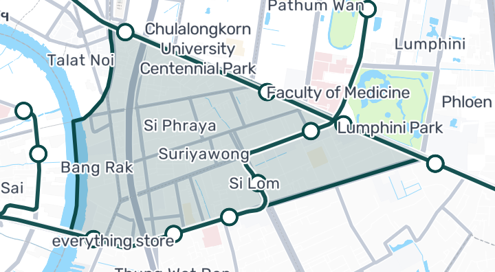
Bang Rak is one of Bangkok's oldest and most characterful districts. It spans from Silom Road (the traditional business center) down through CharoenKrung (Bangkok's first paved road, now an arts and gallery district) to the river. The area mixes old-world charm — shophouses, temples, Chinatown markets — with modern creative energy and riverside luxury developments. Silom Road — Financial district offices, Patpong night market, BTS Sala Daeng and MRT Silom stations. Dense, busy, and very well-connected. CharoenKrung / Talad Noi — Bangkok's emerging creative quarter. Art galleries, boutique hotels, hip cafes in century-old shophouses. Increasingly popular with younger expats seeking character over convenience. Riverside — Luxury hotels and condos along the Chao Phraya. ICONSIAM mall across the river. Scenic but traffic-dependent. Silom-area condos: 100,000–180,000 THB/sqm. Riverside luxury: 200,000–350,000 THB/sqm. Rental demand is steady from the financial district workforce. CharoenKrung is still undervalued relative to its character — potential for appreciation as the creative scene grows.

Bang Rak 둘러보기

입지 위험 및 주변 정보

하천 홍수높음(추정 기반)
돌발 홍수데이터 부족(근거 없음)
가뭄높음(주변 지역 기반)
대기질 악화보통(관측 기반)
화재 위험데이터 부족(근거 없음)
폭염낮음(주변 지역 기반)
하천 홍수
지역 배수로 대비 높이의 10백분위수는 -1.9725778118395327m입니다. 해당 필지가 아닌 지역 값입니다.
자료의 공간 범위: 주변 지역 배경 · 신뢰도: 낮음
돌발 홍수
분석 가능한 자료가 없습니다.
자료의 공간 범위: 자료 부족
가뭄
분석한 10일 기간의 20.833333333333336%에서 강수량이 지역 평년값보다 낮았습니다. 지역 등급은 프로젝트 기준을 사용합니다.
자료의 공간 범위: 주변 지역 배경 · 신뢰도: 보통
대기질
PM2.5 연평균은 21.4137936382034 µg/m³, 출처는 OpenAQ입니다. 현재 대기질 수치가 아닙니다.
자료의 공간 범위: 주변 지역 배경 · 신뢰도: 보통
화재
분석 가능한 자료가 없습니다.
자료의 공간 범위: 자료 부족
고온
월 최고기온의 연평균은 31.6985529589617 °C입니다. 지역 등급은 프로젝트 기준이며 개인 건강 예측이 아닙니다.
자료의 공간 범위: 주변 지역 배경 · 신뢰도: 보통

홍수

하천 범람

이 위치를 포함하는 위성 홍수 관측 데이터가 아직 없습니다

하천 범람 위험은 태국 북부 4개 주(치앙마이, 치앙라이, 람푼, 파야오)를 포함하는 2024년의 단일 위성 관측 홍수 사건만을 근거로 평가됩니다. 이 지역 밖에서 '알 수 없음'으로 표시되는 것은 아직 관측 데이터가 없다는 의미이며, 안전하다는 의미가 아닙니다.

돌발 홍수

아직 평가되지 않음

신뢰도: 낮음

  • 경사도: 1%

돌발 홍수 지형 데이터는 OpenStreetMap의 수로 데이터에서 가져왔습니다. OpenStreetMap 출처 표시 보기

주변 정보

정부 건설비 추정치, 최대
12,000 THB/m² — Bangkok 주 내
출처: Treasury Department (กรมธนารักษ์) construction cost appraisal · 라이선스: Open Data Common (Treasury Department building valuation catalogue) · 2024-08-15부터 2027-12-31까지
정부 건설비 추정치, 중앙값
7,950 THB/m² — Bangkok 주 내
출처: Treasury Department (กรมธนารักษ์) construction cost appraisal · 라이선스: Open Data Common (Treasury Department building valuation catalogue) · 2024-08-15부터 2027-12-31까지
정부 건설비 추정치, 최소
400 THB/m² — Bangkok 주 내
출처: Treasury Department (กรมธนารักษ์) construction cost appraisal · 라이선스: Open Data Common (Treasury Department building valuation catalogue) · 2024-08-15부터 2027-12-31까지
가장 건조한 달
12월 — Bangkok 주 내
출처: Open-Meteo (ERA5 reanalysis, via archive-api.open-meteo.com) · 라이선스: CC BY 4.0 (Attribution 4.0 International) -- https://open-meteo.com/en/licence · 1991-01-01부터 2020-12-31까지
Climate rainfall annual total mean mm
1,195.3 mm — Bangkok 주 내
출처: Open-Meteo (ERA5 reanalysis, via archive-api.open-meteo.com) · 라이선스: CC BY 4.0 (Attribution 4.0 International) -- https://open-meteo.com/en/licence · 1991-01-01부터 2020-12-31까지
평균 최고 기온
31.7 C — Bangkok 주 내
출처: Open-Meteo (ERA5 reanalysis, via archive-api.open-meteo.com) · 라이선스: CC BY 4.0 (Attribution 4.0 International) -- https://open-meteo.com/en/licence · 1991-01-01부터 2020-12-31까지
강수량이 가장 많은 달
9월 — Bangkok 주 내
출처: Open-Meteo (ERA5 reanalysis, via archive-api.open-meteo.com) · 라이선스: CC BY 4.0 (Attribution 4.0 International) -- https://open-meteo.com/en/licence · 1991-01-01부터 2020-12-31까지
가장 가까운 배수로 대비 높이 (중앙값)
6.4 m — Suriyawong 면/동 내
출처: Terrain-derived flash-flood indicators (HAND + slope + OSM drainage proximity; NOT a forecast or probability, not calibrated against observed events) from Copernicus DEM GLO-30 (via Mapterhorn terrain tiles) and OpenStreetMap waterway data. The banded metric flags whether the region CONTAINS terrain susceptible to flash flooding somewhere within it -- not the susceptibility of the region as a whole, and not of any individual property. · 라이선스: Copernicus WorldDEM-30 Licence, commercial use permitted (see ./region-elevation.ts's ELEVATION_SOURCE_LICENSE for the full citation) combined with OpenStreetMap contributors: ODbL 1.0 (https://www.openstreetmap.org/copyright) · 2010-12-12부터 2015-01-07까지
가장 가까운 배수로 대비 높이 (하위 10%)
-2 m — Suriyawong 면/동 내
출처: Terrain-derived flash-flood indicators (HAND + slope + OSM drainage proximity; NOT a forecast or probability, not calibrated against observed events) from Copernicus DEM GLO-30 (via Mapterhorn terrain tiles) and OpenStreetMap waterway data. The banded metric flags whether the region CONTAINS terrain susceptible to flash flooding somewhere within it -- not the susceptibility of the region as a whole, and not of any individual property. · 라이선스: Copernicus WorldDEM-30 Licence, commercial use permitted (see ./region-elevation.ts's ELEVATION_SOURCE_LICENSE for the full citation) combined with OpenStreetMap contributors: ODbL 1.0 (https://www.openstreetmap.org/copyright) · 2010-12-12부터 2015-01-07까지
지형 경사도 (중앙값)
2% — Suriyawong 면/동 내
출처: Terrain-derived flash-flood indicators (HAND + slope + OSM drainage proximity; NOT a forecast or probability, not calibrated against observed events) from Copernicus DEM GLO-30 (via Mapterhorn terrain tiles) and OpenStreetMap waterway data. The banded metric flags whether the region CONTAINS terrain susceptible to flash flooding somewhere within it -- not the susceptibility of the region as a whole, and not of any individual property. · 라이선스: Copernicus WorldDEM-30 Licence, commercial use permitted (see ./region-elevation.ts's ELEVATION_SOURCE_LICENSE for the full citation) combined with OpenStreetMap contributors: ODbL 1.0 (https://www.openstreetmap.org/copyright) · 2010-12-12부터 2015-01-07까지
지형 경사도 (급경사 10%)
4.6% — Suriyawong 면/동 내
출처: Terrain-derived flash-flood indicators (HAND + slope + OSM drainage proximity; NOT a forecast or probability, not calibrated against observed events) from Copernicus DEM GLO-30 (via Mapterhorn terrain tiles) and OpenStreetMap waterway data. The banded metric flags whether the region CONTAINS terrain susceptible to flash flooding somewhere within it -- not the susceptibility of the region as a whole, and not of any individual property. · 라이선스: Copernicus WorldDEM-30 Licence, commercial use permitted (see ./region-elevation.ts's ELEVATION_SOURCE_LICENSE for the full citation) combined with OpenStreetMap contributors: ODbL 1.0 (https://www.openstreetmap.org/copyright) · 2010-12-12부터 2015-01-07까지
가장 가까운 수로까지의 거리 (중앙값)
1,536.1 m — Suriyawong 면/동 내
출처: Terrain-derived flash-flood indicators (HAND + slope + OSM drainage proximity; NOT a forecast or probability, not calibrated against observed events) from Copernicus DEM GLO-30 (via Mapterhorn terrain tiles) and OpenStreetMap waterway data. The banded metric flags whether the region CONTAINS terrain susceptible to flash flooding somewhere within it -- not the susceptibility of the region as a whole, and not of any individual property. · 라이선스: Copernicus WorldDEM-30 Licence, commercial use permitted (see ./region-elevation.ts's ELEVATION_SOURCE_LICENSE for the full citation) combined with OpenStreetMap contributors: ODbL 1.0 (https://www.openstreetmap.org/copyright) · 2010-12-12부터 2015-01-07까지
가장 가까운 수로까지의 거리 (근접 10%)
1,367.2 m — Suriyawong 면/동 내
출처: Terrain-derived flash-flood indicators (HAND + slope + OSM drainage proximity; NOT a forecast or probability, not calibrated against observed events) from Copernicus DEM GLO-30 (via Mapterhorn terrain tiles) and OpenStreetMap waterway data. The banded metric flags whether the region CONTAINS terrain susceptible to flash flooding somewhere within it -- not the susceptibility of the region as a whole, and not of any individual property. · 라이선스: Copernicus WorldDEM-30 Licence, commercial use permitted (see ./region-elevation.ts's ELEVATION_SOURCE_LICENSE for the full citation) combined with OpenStreetMap contributors: ODbL 1.0 (https://www.openstreetmap.org/copyright) · 2010-12-12부터 2015-01-07까지
돌발 홍수에 대한 지형 취약성
낮음 — Suriyawong 면/동 내
출처: Terrain-derived flash-flood indicators (HAND + slope + OSM drainage proximity; NOT a forecast or probability, not calibrated against observed events) from Copernicus DEM GLO-30 (via Mapterhorn terrain tiles) and OpenStreetMap waterway data. The banded metric flags whether the region CONTAINS terrain susceptible to flash flooding somewhere within it -- not the susceptibility of the region as a whole, and not of any individual property. · 라이선스: Copernicus WorldDEM-30 Licence, commercial use permitted (see ./region-elevation.ts's ELEVATION_SOURCE_LICENSE for the full citation) combined with OpenStreetMap contributors: ODbL 1.0 (https://www.openstreetmap.org/copyright) · 2010-12-12부터 2015-01-07까지
고도, 최대
18.6 m — Suriyawong 면/동 내
출처: Mapterhorn terrain tiles (Copernicus DEM GLO-30 / WorldDEM-30, terrarium encoding, via tiles.mapterhorn.com) · 라이선스: Copernicus WorldDEM-30 Licence (COP-DEM-GLO-30-F, 'Global 30m Full, Free & Open' -- https://documentation.dataspace.copernicus.eu/APIs/SentinelHub/Data/DEM/resources/license/License-COPDEM-30.pdf); free of charge, reproduction/distribution/public-communication/adaptation all granted, commercial use permitted; required notice: "produced using Copernicus WorldDEM-30 © DLR e.V. 2010-2014 and © Airbus Defence and Space GmbH 2014-2018 provided under COPERNICUS by the European Union and ESA; all rights reserved." Tiles served by Mapterhorn (© Mapterhorn, https://mapterhorn.com/attribution) -- both notices required. · 2010-12-12부터 2015-01-07까지
고도, 중앙값
9.9 m — Suriyawong 면/동 내
출처: Mapterhorn terrain tiles (Copernicus DEM GLO-30 / WorldDEM-30, terrarium encoding, via tiles.mapterhorn.com) · 라이선스: Copernicus WorldDEM-30 Licence (COP-DEM-GLO-30-F, 'Global 30m Full, Free & Open' -- https://documentation.dataspace.copernicus.eu/APIs/SentinelHub/Data/DEM/resources/license/License-COPDEM-30.pdf); free of charge, reproduction/distribution/public-communication/adaptation all granted, commercial use permitted; required notice: "produced using Copernicus WorldDEM-30 © DLR e.V. 2010-2014 and © Airbus Defence and Space GmbH 2014-2018 provided under COPERNICUS by the European Union and ESA; all rights reserved." Tiles served by Mapterhorn (© Mapterhorn, https://mapterhorn.com/attribution) -- both notices required. · 2010-12-12부터 2015-01-07까지
고도, 최소
3.7 m — Suriyawong 면/동 내
출처: Mapterhorn terrain tiles (Copernicus DEM GLO-30 / WorldDEM-30, terrarium encoding, via tiles.mapterhorn.com) · 라이선스: Copernicus WorldDEM-30 Licence (COP-DEM-GLO-30-F, 'Global 30m Full, Free & Open' -- https://documentation.dataspace.copernicus.eu/APIs/SentinelHub/Data/DEM/resources/license/License-COPDEM-30.pdf); free of charge, reproduction/distribution/public-communication/adaptation all granted, commercial use permitted; required notice: "produced using Copernicus WorldDEM-30 © DLR e.V. 2010-2014 and © Airbus Defence and Space GmbH 2014-2018 provided under COPERNICUS by the European Union and ESA; all rights reserved." Tiles served by Mapterhorn (© Mapterhorn, https://mapterhorn.com/attribution) -- both notices required. · 2010-12-12부터 2015-01-07까지
고도, 범위
14.9 m — Suriyawong 면/동 내
출처: Mapterhorn terrain tiles (Copernicus DEM GLO-30 / WorldDEM-30, terrarium encoding, via tiles.mapterhorn.com) · 라이선스: Copernicus WorldDEM-30 Licence (COP-DEM-GLO-30-F, 'Global 30m Full, Free & Open' -- https://documentation.dataspace.copernicus.eu/APIs/SentinelHub/Data/DEM/resources/license/License-COPDEM-30.pdf); free of charge, reproduction/distribution/public-communication/adaptation all granted, commercial use permitted; required notice: "produced using Copernicus WorldDEM-30 © DLR e.V. 2010-2014 and © Airbus Defence and Space GmbH 2014-2018 provided under COPERNICUS by the European Union and ESA; all rights reserved." Tiles served by Mapterhorn (© Mapterhorn, https://mapterhorn.com/attribution) -- both notices required. · 2010-12-12부터 2015-01-07까지
10일 단위 강수 부족 비율 (최근 10년)
20.8% — Bangkok 주 내
출처: Climate Hazards Center UC Santa Barbara & WFP -- Thailand: Rainfall Indicators at Subnational Level (HDX) · 라이선스: CC BY (Creative Commons Attribution International) · 2016-01-01부터 2025-12-31까지
최근 10년간 최악의 3개월 강수 부족
26.8% — Bangkok 주 내
출처: Climate Hazards Center UC Santa Barbara & WFP -- Thailand: Rainfall Indicators at Subnational Level (HDX) · 라이선스: CC BY (Creative Commons Attribution International) · 2016-01-01부터 2025-12-31까지
PM2.5 연평균 (저가 센서)
25 µg/m³ — Bangkok 주 내
출처: OpenAQ — Soi Rimthang Rotfai 3-2662388 (low-cost) · 라이선스: CC BY 4.0 (AirGradient via OpenAQ) · 2025-01-01부터 2026-01-01까지
PM2.5 연평균
21.4 µg/m³ — Bangkok 주 내
출처: OpenAQ — Millennium Residence-2151387 (reference) · 라이선스: CC BY 4.0 (AirGradient via OpenAQ) · 2025-01-01부터 2026-01-01까지
최근 3개월 강수량 대비 평년 비율
108.4% — Bangkok 주 내
출처: Climate Hazards Center UC Santa Barbara & WFP -- Thailand: Rainfall Indicators at Subnational Level (HDX) · 라이선스: CC BY (Creative Commons Attribution International) · 2026-07-01부터 2026-09-21까지
이 지역에 대해 더 알아보기

선별 분석 자료는 안전 보증, 미래 위험 예측 또는 현장 조사가 아닙니다.

시장 통계

이 프로젝트의 현재 매물 기준

THB 257,500/m²

㎡당 매매가

THB 1,693/m²

㎡당 임대료

8.87%

총 임대 수익률

7.89%

임대-매매 스프레드

유닛 구성
유닛 구성
침실 수활성 매물㎡당 매매가㎡당 임대료
침실 1개21THB 8,950,000THB 59,200
침실 2개10THB 22,900,000THB 124,800

개발사

Ananda

매물 리뷰

아직 리뷰가 없습니다. 첫 리뷰를 남겨보세요.

리뷰

리뷰 작성

로그인이 필요합니다. 프로젝트당 리뷰는 1개만 작성할 수 있습니다.

리뷰를 작성하려면 로그인하세요.

임대 가능

40,000 THB/월

112249 m²12개월 이상
Ashton Silom · Bang Rak

45,000 THB/월

11140 m²12개월 이상
Ashton Silom · Bang Rak

55,000 THB/월

11150 m²12개월 이상
Ashton Silom · Bang Rak

55,000 THB/월

11150 m²12개월 이상
Ashton Silom · Bang Rak

70,000 THB/월

221186 m²12개월 이상
Ashton Silom · Bang Rak

80,000 THB/월

222886 m²12개월 이상
Ashton Silom · Bang Rak

68,000 THB/월

222372 m²12개월 이상
Ashton Silom · Bang Rak

36,000 THB/월

111835 m²12개월 이상
Ashton Silom · Bang Rak

38,000 THB/월

113036 m²12개월 이상
Ashton Silom · Bang Rak

32,000 THB/월

111135.6 m²12개월 이상
Ashton Silom · Bang Rak

88,000 THB/월

223676 m²12개월 이상
Ashton Silom · Bang Rak

35,000 THB/월

113633 m²12개월 이상
Ashton Silom · Bang Rak

80,000 THB/월

22172 m²12개월 이상
Ashton Silom · Bang Rak

75,000 THB/월

221072 m²12개월 이상
Ashton Silom · Bang Rak

88,000 THB/월

22176 m²12개월 이상
Ashton Silom · Bang Rak

65,000 THB/월

112277 m²12개월 이상
Ashton Silom · Bang Rak

30,000 THB/월

112033 m²12개월 이상
Ashton Silom · Bang Rak

50,000 THB/월

114050.5 m²12개월 이상
Ashton Silom · Bang Rak

28,000 THB/월

113934 m²12개월 이상
Ashton Silom · Bang Rak

25,000 THB/월

111031 m²12개월 이상
Ashton Silom · Bang Rak
12

주변 프로젝트

Luxury Property Collection Campaign

Luxury Property Collection Campaign

콘도미니엄
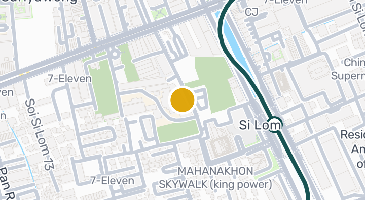
Mahanakhon Center Condominium in Si Lom, Bang Rak, Bangkok

Mahanakhon Center Condominium in Si Lom, Bang Rak, Bangkok

콘도미니엄
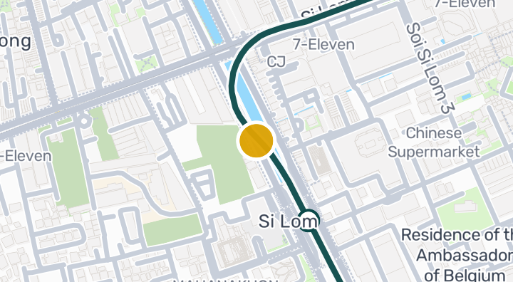
Trinity Complex

Trinity Complex

콘도미니엄

Pornphiwat Building

Pornphiwat Building

콘도미니엄

Alisha View Condominium in Si Phraya, Bang Rak, Bangkok

Alisha View Condominium in Si Phraya, Bang Rak, Bangkok

콘도미니엄
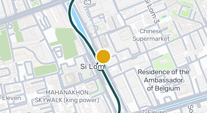
Haven't Met Silom Condominium in Si Lom, Bang Rak, Bangkok

Haven't Met Silom Condominium in Si Lom, Bang Rak, Bangkok

콘도미니엄
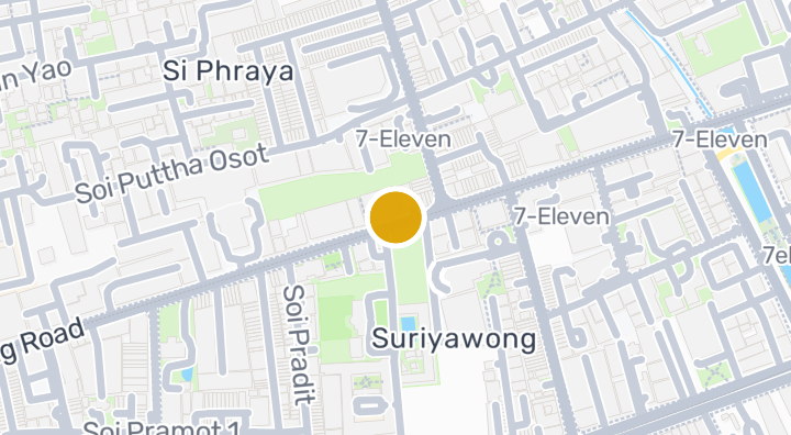
Voravit Building Condominium in Si Phraya, Bang Rak, Bangkok

Voravit Building Condominium in Si Phraya, Bang Rak, Bangkok

콘도미니엄
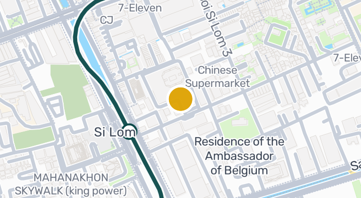
Silom Convent Garden

Silom Convent Garden

콘도미니엄

Wall Street Tower Condominium in Si Phraya, Bang Rak, Bangko

Wall Street Tower Condominium in Si Phraya, Bang Rak, Bangko

콘도미니엄
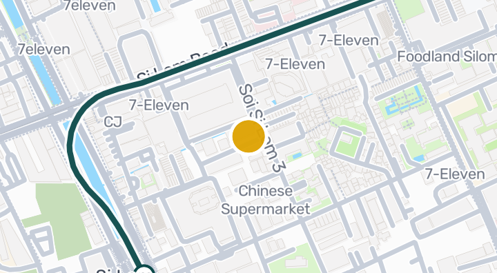
The Oasis

The Oasis

콘도미니엄

Tait 12 Condominium in Si Lom, Bang Rak, Bangkok

Tait 12 Condominium in Si Lom, Bang Rak, Bangkok

콘도미니엄
Holiday Inn Express Bangkok Sathorn | Condo in Si Lom, Bang

Holiday Inn Express Bangkok Sathorn | Condo in Si Lom, Bang

콘도미니엄

Ashton Silom 임대 매물 22건에 새 유닛이 나오면 알려드립니다.

입주 가능 콘도 보기
Ashton Silom 내

더 둘러보기

  • 매물 둘러보기

    BaanMe — 매물 등록, 부동산 인사이트, 시장 정보를 위한 신뢰할 수 있는 플랫폼입니다.

  • 태국 77개 주 전체 탐색

    인터랙티브 지도에서 77개 주부터 928개 군과 7,425개 하위 지역까지 이동하며 현지 주택, 가격, 프로젝트와 지역 가이드를 비교하세요.

  • 교통, 학교 및 랜드마크 인근 주택

    일상에 중요한 장소를 선택한 뒤 근처의 최신 임대 및 매매 주택을 비교하세요. 아래 모든 장소의 검색 범위에는 실제 등록 매물이 있습니다.

  • 태국 부동산 시장 리포트

    태국 내 모든 활성 매물의 평균 호가(태국 바트 기준)입니다.