Supalai Bella Nakhon Ratchasima
- 수영장
- 체육관
- 키즈 존
- 주차 공간
- 24시간 보안
- CCTV
- 클럽하우스
위치
Supalai Bella Nakhon Ratchasima
8분
Miss Bun Luea Memorial까지
78분
Hat Chom Thong까지
입지 위험 및 주변 정보
- 하천 홍수
- 과거 관측에 따른 등급은 낮음이며 미래 홍수 확률이 아닙니다.
- 자료의 공간 범위: 관측 자료 · 신뢰도: 높음
- 돌발 홍수
- 분석 가능한 자료가 없습니다.
- 자료의 공간 범위: 자료 부족
- 가뭄
- 분석한 10일 기간의 15.277777777777779%에서 강수량이 지역 평년값보다 낮았습니다. 지역 등급은 프로젝트 기준을 사용합니다.
- 자료의 공간 범위: 주변 지역 배경 · 신뢰도: 보통
- 대기질
- PM2.5 연평균은 25.36896307793443 µg/m³, 출처는 OpenAQ입니다. 현재 대기질 수치가 아닙니다.
- 자료의 공간 범위: 주변 지역 배경 · 신뢰도: 보통
- 화재
- 분석 가능한 자료가 없습니다.
- 자료의 공간 범위: 자료 부족
- 고온
- 월 최고기온의 연평균은 31.608754680349847 °C입니다. 지역 등급은 프로젝트 기준이며 개인 건강 예측이 아닙니다.
- 자료의 공간 범위: 주변 지역 배경 · 신뢰도: 보통
홍수
하천 범람
낮음 — 관측된 사건에서 뚜렷한 침수가 확인되지 않았습니다
신뢰도: 높음
하천 범람 위험은 태국 북부 4개 주(치앙마이, 치앙라이, 람푼, 파야오)를 포함하는 2024년의 단일 위성 관측 홍수 사건만을 근거로 평가됩니다. 이 지역 밖에서 '알 수 없음'으로 표시되는 것은 아직 관측 데이터가 없다는 의미이며, 안전하다는 의미가 아닙니다.
돌발 홍수
아직 평가되지 않음
신뢰도: 보통
- 가장 가까운 배수로 대비 높이: -3.3 m
- 경사도: 0.2%
돌발 홍수 지형 데이터는 OpenStreetMap의 수로 데이터에서 가져왔습니다. OpenStreetMap 출처 표시 보기
주변 정보
- 정부 건설비 추정치, 최대
- 12,000 THB/m² — Nakhon Ratchasima 주 내
- 출처: Treasury Department (กรมธนารักษ์) construction cost appraisal · 라이선스: Open Data Common (Treasury Department building valuation catalogue) · 2024-08-15부터 2027-12-31까지
- 정부 건설비 추정치, 중앙값
- 7,550 THB/m² — Nakhon Ratchasima 주 내
- 출처: Treasury Department (กรมธนารักษ์) construction cost appraisal · 라이선스: Open Data Common (Treasury Department building valuation catalogue) · 2024-08-15부터 2027-12-31까지
- 정부 건설비 추정치, 최소
- 450 THB/m² — Nakhon Ratchasima 주 내
- 출처: Treasury Department (กรมธนารักษ์) construction cost appraisal · 라이선스: Open Data Common (Treasury Department building valuation catalogue) · 2024-08-15부터 2027-12-31까지
- 정부 토지 감정가 (지자체), 최대 — 세금·등록비 산정용 감정가이며 시세가 아님
- 12,500 THB/sq_wah — Cho Ho 면/동 내
- 출처: Treasury Department (กรมธนารักษ์) land valuation (ราคาประเมินที่ดิน) - attach_all_20240805.csv — เทศบาลตำบลจอหอ (municipal area) · 라이선스: Open Data Common · 2024-08-14부터 2024-08-14까지
- 정부 토지 감정가 (지자체), 중앙값 — 세금·등록비 산정용 감정가이며 시세가 아님
- 1,000 THB/sq_wah — Cho Ho 면/동 내
- 출처: Treasury Department (กรมธนารักษ์) land valuation (ราคาประเมินที่ดิน) - attach_all_20240805.csv — เทศบาลตำบลจอหอ (municipal area) · 라이선스: Open Data Common · 2024-08-14부터 2024-08-14까지
- 정부 토지 감정가 (지자체), 최소 — 세금·등록비 산정용 감정가이며 시세가 아님
- 500 THB/sq_wah — Cho Ho 면/동 내
- 출처: Treasury Department (กรมธนารักษ์) land valuation (ราคาประเมินที่ดิน) - attach_all_20240805.csv — เทศบาลตำบลจอหอ (municipal area) · 라이선스: Open Data Common · 2024-08-14부터 2024-08-14까지
- 정부 토지 감정가 (하위 행정구역), 최대 — 세금·등록비 산정용 감정가이며 시세가 아님
- 6,000 THB/sq_wah — Cho Ho 면/동 내
- 출처: Treasury Department (กรมธนารักษ์) land valuation (ราคาประเมินที่ดิน) - attach_all_20240805.csv · 라이선스: Open Data Common · 2024-08-14부터 2024-08-14까지
- 정부 토지 감정가 (하위 행정구역), 중앙값 — 세금·등록비 산정용 감정가이며 시세가 아님
- 400 THB/sq_wah — Cho Ho 면/동 내
- 출처: Treasury Department (กรมธนารักษ์) land valuation (ราคาประเมินที่ดิน) - attach_all_20240805.csv · 라이선스: Open Data Common · 2024-08-14부터 2024-08-14까지
- 정부 토지 감정가 (하위 행정구역), 최소 — 세금·등록비 산정용 감정가이며 시세가 아님
- 200 THB/sq_wah — Cho Ho 면/동 내
- 출처: Treasury Department (กรมธนารักษ์) land valuation (ราคาประเมินที่ดิน) - attach_all_20240805.csv · 라이선스: Open Data Common · 2024-08-14부터 2024-08-14까지
- 가장 건조한 달
- 12월 — Nakhon Ratchasima 주 내
- 출처: Open-Meteo (ERA5 reanalysis, via archive-api.open-meteo.com) · 라이선스: CC BY 4.0 (Attribution 4.0 International) -- https://open-meteo.com/en/licence · 1991-01-01부터 2020-12-31까지
- Climate rainfall annual total mean mm
- 1,087.9 mm — Nakhon Ratchasima 주 내
- 출처: Open-Meteo (ERA5 reanalysis, via archive-api.open-meteo.com) · 라이선스: CC BY 4.0 (Attribution 4.0 International) -- https://open-meteo.com/en/licence · 1991-01-01부터 2020-12-31까지
- 평균 최고 기온
- 31.6 C — Nakhon Ratchasima 주 내
- 출처: Open-Meteo (ERA5 reanalysis, via archive-api.open-meteo.com) · 라이선스: CC BY 4.0 (Attribution 4.0 International) -- https://open-meteo.com/en/licence · 1991-01-01부터 2020-12-31까지
- 강수량이 가장 많은 달
- 9월 — Nakhon Ratchasima 주 내
- 출처: Open-Meteo (ERA5 reanalysis, via archive-api.open-meteo.com) · 라이선스: CC BY 4.0 (Attribution 4.0 International) -- https://open-meteo.com/en/licence · 1991-01-01부터 2020-12-31까지
- 가장 가까운 배수로 대비 높이 (중앙값)
- 10.3 m — Mueang Nakhon Ratchasima 군/구 내
- 출처: Terrain-derived flash-flood indicators (HAND + slope + OSM drainage proximity; NOT a forecast or probability, not calibrated against observed events) from Copernicus DEM GLO-30 (via Mapterhorn terrain tiles) and OpenStreetMap waterway data. The banded metric flags whether the region CONTAINS terrain susceptible to flash flooding somewhere within it -- not the susceptibility of the region as a whole, and not of any individual property. · 라이선스: Copernicus WorldDEM-30 Licence, commercial use permitted (see ./region-elevation.ts's ELEVATION_SOURCE_LICENSE for the full citation) combined with OpenStreetMap contributors: ODbL 1.0 (https://www.openstreetmap.org/copyright) · 2010-12-12부터 2015-01-07까지
- 가장 가까운 배수로 대비 높이 (하위 10%)
- -1.9 m — Mueang Nakhon Ratchasima 군/구 내
- 출처: Terrain-derived flash-flood indicators (HAND + slope + OSM drainage proximity; NOT a forecast or probability, not calibrated against observed events) from Copernicus DEM GLO-30 (via Mapterhorn terrain tiles) and OpenStreetMap waterway data. The banded metric flags whether the region CONTAINS terrain susceptible to flash flooding somewhere within it -- not the susceptibility of the region as a whole, and not of any individual property. · 라이선스: Copernicus WorldDEM-30 Licence, commercial use permitted (see ./region-elevation.ts's ELEVATION_SOURCE_LICENSE for the full citation) combined with OpenStreetMap contributors: ODbL 1.0 (https://www.openstreetmap.org/copyright) · 2010-12-12부터 2015-01-07까지
- 지형 경사도 (중앙값)
- 0.2% — Mueang Nakhon Ratchasima 군/구 내
- 출처: Terrain-derived flash-flood indicators (HAND + slope + OSM drainage proximity; NOT a forecast or probability, not calibrated against observed events) from Copernicus DEM GLO-30 (via Mapterhorn terrain tiles) and OpenStreetMap waterway data. The banded metric flags whether the region CONTAINS terrain susceptible to flash flooding somewhere within it -- not the susceptibility of the region as a whole, and not of any individual property. · 라이선스: Copernicus WorldDEM-30 Licence, commercial use permitted (see ./region-elevation.ts's ELEVATION_SOURCE_LICENSE for the full citation) combined with OpenStreetMap contributors: ODbL 1.0 (https://www.openstreetmap.org/copyright) · 2010-12-12부터 2015-01-07까지
- 지형 경사도 (급경사 10%)
- 0.4% — Mueang Nakhon Ratchasima 군/구 내
- 출처: Terrain-derived flash-flood indicators (HAND + slope + OSM drainage proximity; NOT a forecast or probability, not calibrated against observed events) from Copernicus DEM GLO-30 (via Mapterhorn terrain tiles) and OpenStreetMap waterway data. The banded metric flags whether the region CONTAINS terrain susceptible to flash flooding somewhere within it -- not the susceptibility of the region as a whole, and not of any individual property. · 라이선스: Copernicus WorldDEM-30 Licence, commercial use permitted (see ./region-elevation.ts's ELEVATION_SOURCE_LICENSE for the full citation) combined with OpenStreetMap contributors: ODbL 1.0 (https://www.openstreetmap.org/copyright) · 2010-12-12부터 2015-01-07까지
- 가장 가까운 수로까지의 거리 (중앙값)
- 25,359.6 m — Mueang Nakhon Ratchasima 군/구 내
- 출처: Terrain-derived flash-flood indicators (HAND + slope + OSM drainage proximity; NOT a forecast or probability, not calibrated against observed events) from Copernicus DEM GLO-30 (via Mapterhorn terrain tiles) and OpenStreetMap waterway data. The banded metric flags whether the region CONTAINS terrain susceptible to flash flooding somewhere within it -- not the susceptibility of the region as a whole, and not of any individual property. · 라이선스: Copernicus WorldDEM-30 Licence, commercial use permitted (see ./region-elevation.ts's ELEVATION_SOURCE_LICENSE for the full citation) combined with OpenStreetMap contributors: ODbL 1.0 (https://www.openstreetmap.org/copyright) · 2010-12-12부터 2015-01-07까지
- 가장 가까운 수로까지의 거리 (근접 10%)
- 11,129.9 m — Mueang Nakhon Ratchasima 군/구 내
- 출처: Terrain-derived flash-flood indicators (HAND + slope + OSM drainage proximity; NOT a forecast or probability, not calibrated against observed events) from Copernicus DEM GLO-30 (via Mapterhorn terrain tiles) and OpenStreetMap waterway data. The banded metric flags whether the region CONTAINS terrain susceptible to flash flooding somewhere within it -- not the susceptibility of the region as a whole, and not of any individual property. · 라이선스: Copernicus WorldDEM-30 Licence, commercial use permitted (see ./region-elevation.ts's ELEVATION_SOURCE_LICENSE for the full citation) combined with OpenStreetMap contributors: ODbL 1.0 (https://www.openstreetmap.org/copyright) · 2010-12-12부터 2015-01-07까지
- 돌발 홍수에 대한 지형 취약성
- 낮음 — Mueang Nakhon Ratchasima 군/구 내
- 출처: Terrain-derived flash-flood indicators (HAND + slope + OSM drainage proximity; NOT a forecast or probability, not calibrated against observed events) from Copernicus DEM GLO-30 (via Mapterhorn terrain tiles) and OpenStreetMap waterway data. The banded metric flags whether the region CONTAINS terrain susceptible to flash flooding somewhere within it -- not the susceptibility of the region as a whole, and not of any individual property. · 라이선스: Copernicus WorldDEM-30 Licence, commercial use permitted (see ./region-elevation.ts's ELEVATION_SOURCE_LICENSE for the full citation) combined with OpenStreetMap contributors: ODbL 1.0 (https://www.openstreetmap.org/copyright) · 2010-12-12부터 2015-01-07까지
- 고도, 최대
- 182.8 m — Cho Ho 면/동 내
- 출처: Mapterhorn terrain tiles (Copernicus DEM GLO-30 / WorldDEM-30, terrarium encoding, via tiles.mapterhorn.com) · 라이선스: Copernicus WorldDEM-30 Licence (COP-DEM-GLO-30-F, 'Global 30m Full, Free & Open' -- https://documentation.dataspace.copernicus.eu/APIs/SentinelHub/Data/DEM/resources/license/License-COPDEM-30.pdf); free of charge, reproduction/distribution/public-communication/adaptation all granted, commercial use permitted; required notice: "produced using Copernicus WorldDEM-30 © DLR e.V. 2010-2014 and © Airbus Defence and Space GmbH 2014-2018 provided under COPERNICUS by the European Union and ESA; all rights reserved." Tiles served by Mapterhorn (© Mapterhorn, https://mapterhorn.com/attribution) -- both notices required. · 2010-12-12부터 2015-01-07까지
- 고도, 중앙값
- 177.7 m — Cho Ho 면/동 내
- 출처: Mapterhorn terrain tiles (Copernicus DEM GLO-30 / WorldDEM-30, terrarium encoding, via tiles.mapterhorn.com) · 라이선스: Copernicus WorldDEM-30 Licence (COP-DEM-GLO-30-F, 'Global 30m Full, Free & Open' -- https://documentation.dataspace.copernicus.eu/APIs/SentinelHub/Data/DEM/resources/license/License-COPDEM-30.pdf); free of charge, reproduction/distribution/public-communication/adaptation all granted, commercial use permitted; required notice: "produced using Copernicus WorldDEM-30 © DLR e.V. 2010-2014 and © Airbus Defence and Space GmbH 2014-2018 provided under COPERNICUS by the European Union and ESA; all rights reserved." Tiles served by Mapterhorn (© Mapterhorn, https://mapterhorn.com/attribution) -- both notices required. · 2010-12-12부터 2015-01-07까지
- 고도, 최소
- 173.7 m — Cho Ho 면/동 내
- 출처: Mapterhorn terrain tiles (Copernicus DEM GLO-30 / WorldDEM-30, terrarium encoding, via tiles.mapterhorn.com) · 라이선스: Copernicus WorldDEM-30 Licence (COP-DEM-GLO-30-F, 'Global 30m Full, Free & Open' -- https://documentation.dataspace.copernicus.eu/APIs/SentinelHub/Data/DEM/resources/license/License-COPDEM-30.pdf); free of charge, reproduction/distribution/public-communication/adaptation all granted, commercial use permitted; required notice: "produced using Copernicus WorldDEM-30 © DLR e.V. 2010-2014 and © Airbus Defence and Space GmbH 2014-2018 provided under COPERNICUS by the European Union and ESA; all rights reserved." Tiles served by Mapterhorn (© Mapterhorn, https://mapterhorn.com/attribution) -- both notices required. · 2010-12-12부터 2015-01-07까지
- 고도, 범위
- 9.1 m — Cho Ho 면/동 내
- 출처: Mapterhorn terrain tiles (Copernicus DEM GLO-30 / WorldDEM-30, terrarium encoding, via tiles.mapterhorn.com) · 라이선스: Copernicus WorldDEM-30 Licence (COP-DEM-GLO-30-F, 'Global 30m Full, Free & Open' -- https://documentation.dataspace.copernicus.eu/APIs/SentinelHub/Data/DEM/resources/license/License-COPDEM-30.pdf); free of charge, reproduction/distribution/public-communication/adaptation all granted, commercial use permitted; required notice: "produced using Copernicus WorldDEM-30 © DLR e.V. 2010-2014 and © Airbus Defence and Space GmbH 2014-2018 provided under COPERNICUS by the European Union and ESA; all rights reserved." Tiles served by Mapterhorn (© Mapterhorn, https://mapterhorn.com/attribution) -- both notices required. · 2010-12-12부터 2015-01-07까지
- 10일 단위 강수 부족 비율 (최근 10년)
- 15.3% — Mueang Nakhon Ratchasima 군/구 내
- 출처: Climate Hazards Center UC Santa Barbara & WFP -- Thailand: Rainfall Indicators at Subnational Level (HDX) · 라이선스: CC BY (Creative Commons Attribution International) · 2016-01-01부터 2025-12-31까지
- 최근 10년간 최악의 3개월 강수 부족
- 28.8% — Mueang Nakhon Ratchasima 군/구 내
- 출처: Climate Hazards Center UC Santa Barbara & WFP -- Thailand: Rainfall Indicators at Subnational Level (HDX) · 라이선스: CC BY (Creative Commons Attribution International) · 2016-01-01부터 2025-12-31까지
- PM2.5 연평균 (저가 센서)
- 40.5 µg/m³ — Nakhon Ratchasima 주 내
- 출처: OpenAQ — โรงเรียนบ้านหินโคน-2783856 (low-cost) · 라이선스: CC BY 4.0 (AirGradient via OpenAQ) · 2025-01-01부터 2025-04-07까지
- PM2.5 연평균
- 25.4 µg/m³ — Nakhon Ratchasima 주 내
- 출처: OpenAQ — Municipal Waste Water Pumping Station-237898 (reference) · 라이선스: Open Data Common (Pollution Control Department) · 2025-01-01부터 2025-12-31까지
- 최근 3개월 강수량 대비 평년 비율
- 99.9% — Mueang Nakhon Ratchasima 군/구 내
- 출처: Climate Hazards Center UC Santa Barbara & WFP -- Thailand: Rainfall Indicators at Subnational Level (HDX) · 라이선스: CC BY (Creative Commons Attribution International) · 2026-07-01부터 2026-09-21까지
선별 분석 자료는 안전 보증, 미래 위험 예측 또는 현장 조사가 아닙니다.
개발사
Supalai
매물 리뷰
아직 리뷰가 없습니다. 첫 리뷰를 남겨보세요.
리뷰
리뷰 작성
로그인이 필요합니다. 프로젝트당 리뷰는 1개만 작성할 수 있습니다.
리뷰를 작성하려면 로그인하세요.
주변 프로젝트
The Sixnature co ho Condominium in Cho Ho, Nakhon Ratchasima
콘도미니엄
The Aiyara Jorhor-Buengtubchang Condominium in Cho Ho, Nakhn
콘도미니엄
Homegardenville Cho Ho | Condominium in Mueang Nakhon Ratcha
콘도미니엄

The Icon 5 Suranarai - Condominium in Khok Sung, Mueang Nakh
콘도미니엄
Baan Nara Korat
콘도미니엄
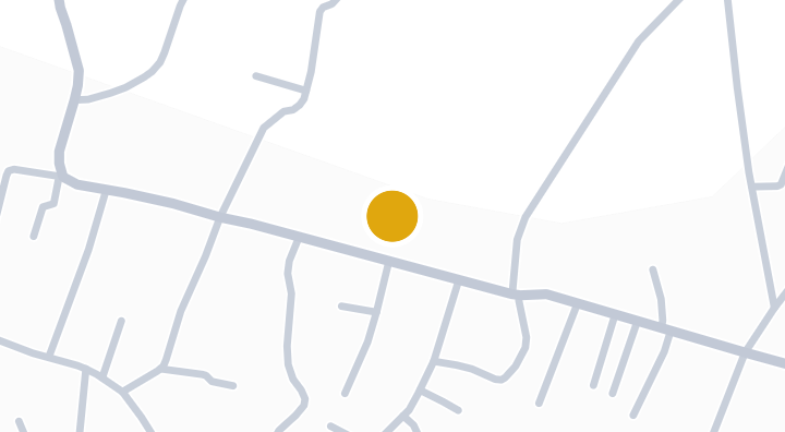
Beyond Joho-Srakrok
콘도미니엄
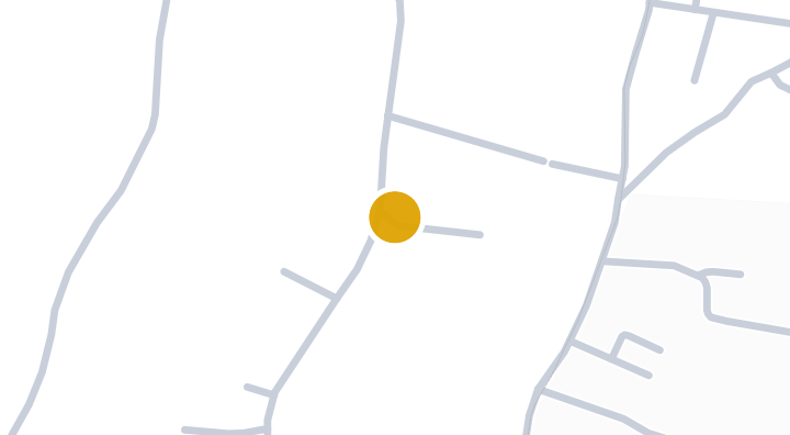
Ban Imoun Korat Condominium in Talat, Mueang Nakhon Ratchas
콘도미니엄
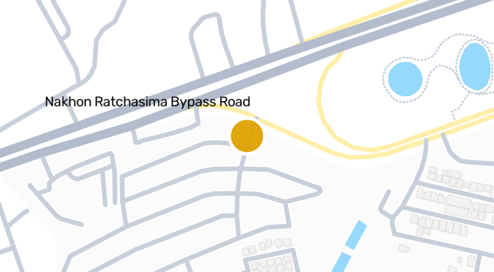
Homegardenville By Pass
콘도미니엄
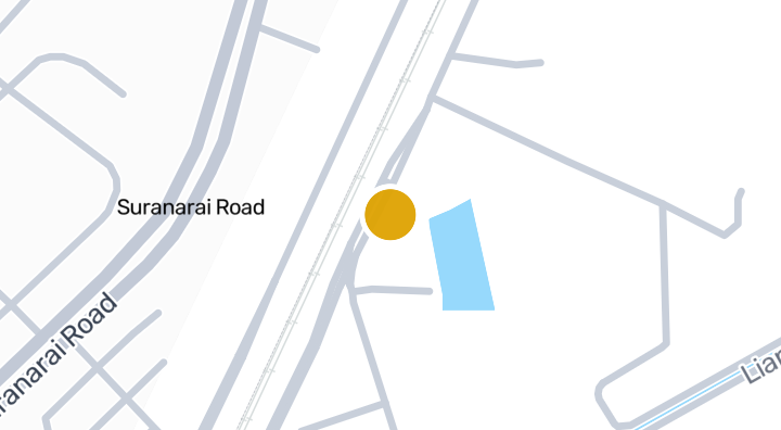
Trenino Condo | Talat, Mueang Nakhon Ratchasima
콘도미니엄
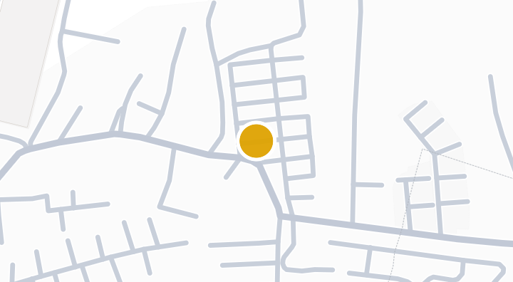
Homegardenville Suranarai | Condo in Ban Ko, Nakhon Ratchas
콘도미니엄
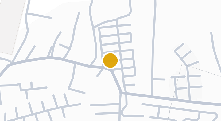
Suranarai 2 Condominium in Ban Ko, Mueang Nakhon Ratchasima
콘도미니엄
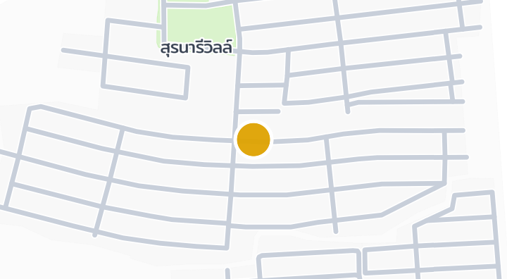
Suranaree Ville Ban Koh Condominium in Talat, Nakhon Ratchas
콘도미니엄
Supalai Bella Nakhon Ratchasima에 새 유닛이 나오면 알려드립니다.