Pa Sak
Pa Sak is a subdistrict in Mueang Lamphun district, Lamphun province. The area is served by Lamphun Airport and includes Shapat Health Care Park, along with temples such as Wat Ban Mai and Wat Phra That Sai Thong. Residents also have a couple of nearby convenience stores for daily needs.
最后更新:2026年11月
—
在售房源
0
出租
0
出售
—
中位售价
—
中位月租金
—
每平方米价格
Pa Sak的房源
暂无房源
该区域暂无房源。
浏览泰国全部房源当 Pa Sak 有新房源时通知我。
区域概况:Pa Sak
来自泰国政府和开放数据源的该区域全部已知信息。
官方土地评估价(市镇范围)
估价中位数
฿700 / sq. wah
建筑成本(省中位数)
人口
16,180自2021年以来增长 8.2%
性别比例
登记住户数
9,072
人口密度
288 人 / 平方公里
每户人数
1.8
环境
空气质量
省级读数(南奔)
PM2.5 年均值
25.1 µg/m³
世卫组织指南:PM2.5 5 µg/m³ / PM10 15 µg/m³。泰国标准:PM2.5 15 µg/m³ / PM10 50 µg/m³。
地形与气候
海拔范围
137 米
洪水风险
地形山洪易发程度
2024 年观测到的受灾情况
地面塌陷(天坑)易发程度(DMR)
观测到的洪泛面积(2024年)
0.8%
卫星分析覆盖率
100%
距最近排水通道的高度(第10百分位)
-3.6 米
距最近河流的距离(第10百分位)
366.8 米
地形坡度(第90百分位)
3.2%
干旱
降雨量相对于1981-2010年及以后常年值的缺口(CHIRPS)——这是气象数据,并非土壤湿度,也不是预测。
最近3个月降雨量占常年值的比例
103.7%
近10年降雨不足旬占比
11.1%
近10年最严重的3个月降雨缺口
34.7%
空气质量
PM2.5 — OpenAQ
参考级监测站
25.1 微克/立方米
Pa Sak的配套设施
触手可及的一切——商店、学校、交通及更多。
学校(2)展开
- โรงเรียนบ้านนัำพุ915 m
- Wat Nong Chio School3.9 km
公园(1)展开
- Shapat Health Care Park3.7 km
配套设施数据 © OpenStreetMap 贡献者
Pa Sak的项目
该地区的公寓与开发项目
2012 年建成
Ing & Att Apartment is a condominium project located in Pa Sak, Mueang Lamphun, Lamphun. The developer and completion date are not specified, and no project amenities are listed. Nearby, Lamphun Airport is about 9 minutes away and the Phra Nang Chamathewi Monument is about 12 minutes away, while Pang Pao Beach is roughly 64 minutes away. The surrounding Pa Sak subdistrict offers convenient access to daily needs in the Mueang Lamphun area.
Pa Sak的生活
本地资讯、生活方式与实用提示
16,180
登记人口
低
2024年洪水风险
2
项目数量
About Pa Sak
Pa Sak is a subdistrict in Mueang Lamphun district, Lamphun province, in northern Thailand. The area has property inventory records, making it possible to explore available homes and land here.
As part of the provincial capital district, Pa Sak offers a quieter setting while remaining close to the amenities of Lamphun town.
Landmarks and Places of Interest
The subdistrict is home to Lamphun Airport, a notable point of reference for the area. For outdoor recreation, Shapat Health Care Park provides a green space for exercise and relaxation.
Pa Sak also has several temples, including Wat Ban Mai and Wat Phra That Sai Thong, reflecting the area's local culture and community life.
Everyday Convenience
Residents have access to everyday essentials, with two convenience stores located nearby. A place of worship is also found close to the area, serving the local community.
Pa Sak地图
点按区域可查看其下属的区和分区。
附近区域
探索更多社区,找到符合您生活方式的家。
3 套房源在售
1 套房源在售
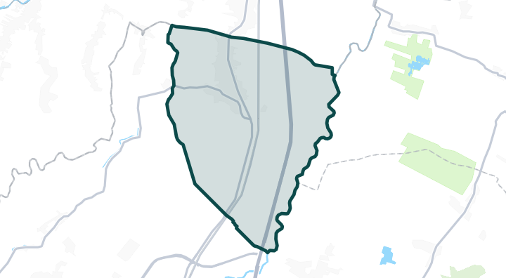
1 套房源在售
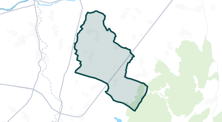
1 套房源在售
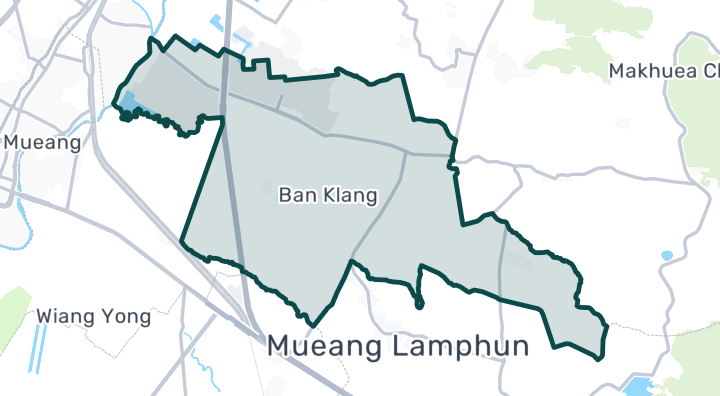
1 套房源在售
探索更多
浏览Pa Sak的房源
找到最适合您的房源
关于Pa Sak的常见问题
Pa Sak附近有什么?
根据OpenStreetMap数据,Pa Sak附近有 1 个公园和7 家餐厅和咖啡馆。
Pa Sak的空气质量如何?
Pa Sak的年均PM2.5为 25.1 微克/立方米,而世卫组织的指导值为 5 微克/立方米,泰国标准为 15 微克/立方米。 这是省级读数,并非该区域本身的监测站数据。
Pa Sak是否有洪水风险?
Pa Sak在2024年观测到的洪水暴露程度为低。 山洪地形易发性为低。 地面塌陷(天坑)易发程度(DMR调查)为极高。
Pa Sak的人口是多少?
Pa Sak的登记人口为 16,180(自2021年以来增长 8.2%)。
Pa Sak的官方土地评估价格是多少?
泰国财政部对涵盖Pa Sak的市镇范围的官方土地评估价中位数为每平方哇 ฿700 —— 这是用于计算过户费和税费的政府评估价值,并非市场成交价。
Pa Sak在2024年发生过洪水吗?
卫星监测显示,在2024年季风季节期间,Pa Sak观测到的洪水暴露程度为低。这仅反映该次事件中观测到的情况,并非一般性的洪水风险预测。
Pa Sak的空气污染有多严重?
根据OpenAQ参考级监测站的数据,Pa Sak的PM2.5年均值为25.1 µg/m³。