Rent a Home

Condos for Rent

Houses for Rent

Villas for Rent

Apartments for Rent

Buy a Home

Condos for Sale

Houses for Sale

Villas for Sale

Land for Sale

Explore

Areas

Use the interactive map to move from 77 provinces into 928 districts and 7,425 subdistricts, then compare local homes, prices, projects, and neighborhood guides.

Browse Projects

Search condos, housing estates, and developments with active listings

Homes near transit, schools and landmarks

Choose a place that matters to your daily life, then compare live rentals and homes for sale nearby. Every place below has active inventory in its search area.

Owner-approved opportunities

Explore properties whose owners have confirmed a price and are open to a conversation, including owners with no hurry to sell.

Find an agent near you

Browse verified real estate agents and agencies by province, with active listings and reviews.

Resources

Guides & insights

Thailand Property Market Report

The provinces with the most active listings on the network. Click a province for its full market report.

Best Of Guides

Curated picks for the best areas to buy, rent, and live in Thailand

Visa Opportunities

Visa types, extensions, and applications for Thailand

Thailand property law

Plain-language guides to Thai property law, verified against official sources — for foreign buyers, Thai buyers and renters.

Thailand Flood History Map

Free tool: check whether an address, soi, or condo project in Thailand has flooded before, using historical satellite (SAR) flood observations.

Property news

The latest visa, tax and property-law updates for Thailand, verified against official sources.

All Articles

Tips, market insights, and property guides

Tools

Thailand Mortgage Calculator

Estimate a monthly home-loan payment from the property price, down payment, annual interest rate, and loan term you enter.

Transfer Fees Calculator

Estimate taxes and fees for property transfers in Thailand

Unit Conversions

Convert between Thai and international land units

  • Condos for Rent
  • Houses for Rent
  • Villas for Rent
  • Apartments for Rent
  • Condos for Sale
  • Houses for Sale
  • Villas for Sale
  • Land for Sale
  • Areas
  • Browse Projects
  • Homes near transit, schools and landmarks
  • Owner-approved opportunities
  • Find an agent near you
  • Thailand Property Market Report
  • Best Of Guides
  • Visa Opportunities
  • Thailand property law
  • Thailand Flood History Map
  • Property news
  • All Articles
  • Thailand Mortgage Calculator
  • Transfer Fees Calculator
  • Unit Conversions

Why BaanMe?

ID-Verified Agents

Every BaanMe agent is verified against a Thai government ID before they can publish a single listing — so you always know exactly who you are dealing with, and bad actors get permanently banned.

Secure In-App Chat (Coming Soon)

We are developing in-app messaging. Until it launches, contact options depend on the agent and listing.

Deposit Protection (Coming Soon)

Soon, BaanMe will hold your security deposit in escrow and review every claim ourselves — so unfair deductions and disappearing landlords become a thing of the past.

Contract Support

Ask your agent which contract languages and terms are available before signing.

Environmental Impact

We care about your, our, and everyone's environment. Which is why we have committed ourselves to re-foresting the rainforest in Pai, Thailand, with the help of Conserve Natural Forests, a local NGO committed to forest restoration in and around Pai.

Regions

  • Homes in Bangkok
  • Homes in Chiang Mai
  • Homes in Samut Prakan
  • Homes in Phetchabun
  • Homes in Lamphun
  • Homes in Nonthaburi
  • Homes in Chiang Rai
  • Homes in Chon Buri

Browse Properties

  • Bangkok Condos for Rent
  • Bangkok Apartments for Rent
  • Chiang Mai Houses for Rent
  • Bangkok Offices for Rent
  • Bangkok Warehouses for Rent
  • Koh Samui Houses for Rent
  • All Properties →

FAQ

  • Thailand Property Market Trends 2026: A Selective Recovery
  • More →

Best Of Guides

  • Best Areas to Buy a Condo in Bangkok
  • Best Neighborhoods for Expats in Thailand
  • Best Areas to Rent in Chiang Mai
  • Best Places to Buy a House in Phuket
  • Best Neighborhoods for Families in Bangkok
  • All Guides →

BaanMe

  • About BaanMe
  • Press Inquiries
  • Brand Assets
  • Privacy Policy
  • Terms & Conditions
  • Map Attribution
  • Help
  • Add BaanMe as a preferred source on Google
  • Delete Account

© Niklas Benjamin Muegge, 2026

  1. Home
  2. The Flora Phetkasem 48
The Flora Phetkasem 48
OverviewLocationReviewAvailable CondosNearby Projects

The Flora Phetkasem 48

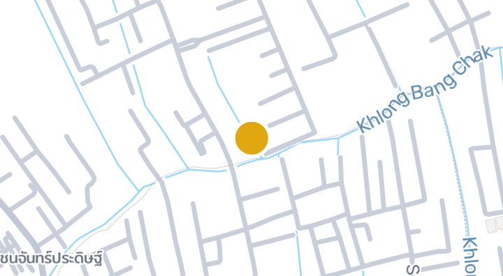
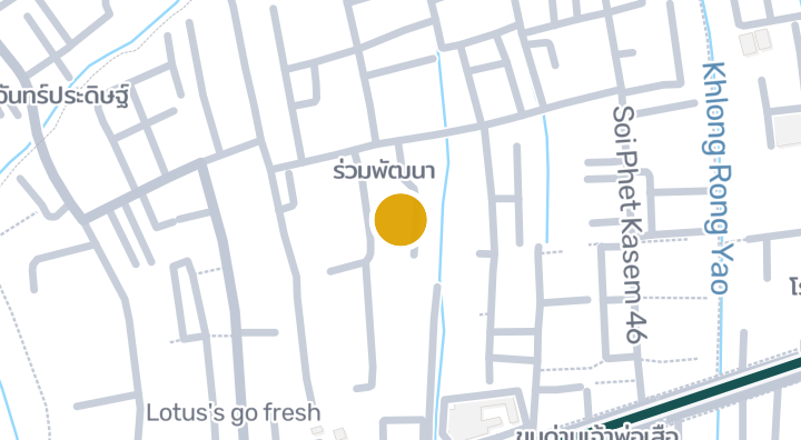
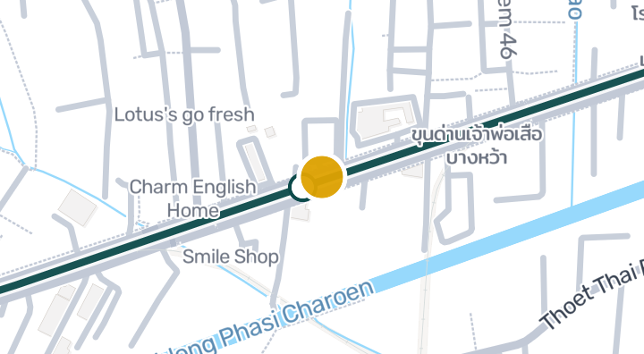
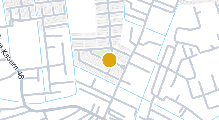
The Flora Phetkasem 48 is a condominium located in Bang Duan, Phasi Charoen, Bangkok. Nearby, residents can visit the Lovely Walk with Swamps and Banana Trees attraction, about 8 minutes away, and Charm English Home school, roughly 607m from the project. Kamphaeng Saen Airport is approximately 78 minutes away. The area also has 1 nearby beach and 2 nearby schools.

See Available Condos
In The Flora Phetkasem 48

Location

Bang Duan

78 min

to Kamphaeng Saen Airport

commute

8 min

Bang Duan

Check your commute

Save places and compare travel times from this home.

Neighborhood

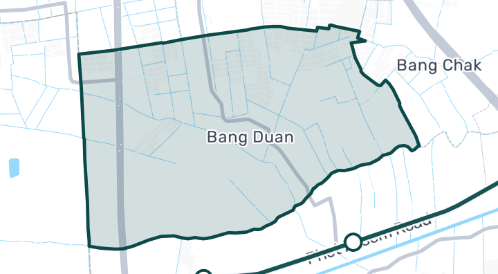
Bang Duan

Bang Duan

Bang Duan is a subdistrict in Phasi Charoen, Bangkok. It is a residential area with property inventory records available, making it possible to explore homes and real estate options in the neighborhood. Families in Bang Duan have access to local education options, including Phadung Kit Witthaya School. There are also three kindergartens nearby, which is convenient for households with young children. One notable attraction in the area is Lovely Walk with Swamps and Banana Trees, a spot that reflects the natural, waterside character of this part of Phasi Charoen.

Explore Bang Duan

Location risk & context

river floodingHigh(estimated)
flash floodingNot enough data yet(basis not available)
droughtHigh(based on the surrounding area)
poor air qualityMedium(observed)
fire riskNot enough data yet(basis not available)
extreme heatLow(based on the surrounding area)
River flooding
Regional drainage-height 10th percentile: -1.9066343738836409 m. This describes the area, not this parcel.
Evidence scope: Area context · Confidence: Low
Flash flooding
No usable evidence is available.
Evidence scope: Insufficient evidence
Drought
Rainfall was below the local normal in 20.833333333333336% of analysed 10-day periods. Regional screening uses project-defined thresholds.
Evidence scope: Area context · Confidence: Medium
Air quality
Annual mean PM2.5: 21.4137936382034 µg/m³, source: OpenAQ. This is not a current air-quality reading.
Evidence scope: Area context · Confidence: Medium
Fire
No usable evidence is available.
Evidence scope: Insufficient evidence
Heat
Annual mean of monthly maximum temperatures: 31.6985529589617 °C. Regional screening uses project-defined thresholds, not an individual health forecast.
Evidence scope: Area context · Confidence: Medium

Flood

River flood

No satellite flood observation covers this location yet

River hazard is scored only against a single 2024 satellite-observed flood event covering four northern Thailand provinces (Chiang Mai, Chiang Rai, Lamphun, Phayao). "Unknown" outside that area means no observation exists yet — it does not mean the area is safe.

Flash flood

Not yet assessed

Confidence: low

  • Slope: 0.5%

Flash-flood terrain data is derived from OpenStreetMap waterway data. See OpenStreetMap attribution

Area context

Government construction cost estimate, maximum
12,000 THB/m² — In Bangkok province
Source: Treasury Department (กรมธนารักษ์) construction cost appraisal · License: Open Data Common (Treasury Department building valuation catalogue) · 2024-08-15 to 2027-12-31
Government construction cost estimate, typical
7,950 THB/m² — In Bangkok province
Source: Treasury Department (กรมธนารักษ์) construction cost appraisal · License: Open Data Common (Treasury Department building valuation catalogue) · 2024-08-15 to 2027-12-31
Government construction cost estimate, minimum
400 THB/m² — In Bangkok province
Source: Treasury Department (กรมธนารักษ์) construction cost appraisal · License: Open Data Common (Treasury Department building valuation catalogue) · 2024-08-15 to 2027-12-31
Driest month
December — In Bangkok province
Source: Open-Meteo (ERA5 reanalysis, via archive-api.open-meteo.com) · License: CC BY 4.0 (Attribution 4.0 International) -- https://open-meteo.com/en/licence · 1991-01-01 to 2020-12-31
Climate rainfall annual total mean mm
1,195.3 mm — In Bangkok province
Source: Open-Meteo (ERA5 reanalysis, via archive-api.open-meteo.com) · License: CC BY 4.0 (Attribution 4.0 International) -- https://open-meteo.com/en/licence · 1991-01-01 to 2020-12-31
Average daily high temperature
31.7 C — In Bangkok province
Source: Open-Meteo (ERA5 reanalysis, via archive-api.open-meteo.com) · License: CC BY 4.0 (Attribution 4.0 International) -- https://open-meteo.com/en/licence · 1991-01-01 to 2020-12-31
Wettest month
September — In Bangkok province
Source: Open-Meteo (ERA5 reanalysis, via archive-api.open-meteo.com) · License: CC BY 4.0 (Attribution 4.0 International) -- https://open-meteo.com/en/licence · 1991-01-01 to 2020-12-31
Height above nearest drainage (typical)
-0.4 m — In Bangkok province
Source: Terrain-derived flash-flood indicators (HAND + slope + OSM drainage proximity; NOT a forecast or probability, not calibrated against observed events) from Copernicus DEM GLO-30 (via Mapterhorn terrain tiles) and OpenStreetMap waterway data. The banded metric flags whether the region CONTAINS terrain susceptible to flash flooding somewhere within it -- not the susceptibility of the region as a whole, and not of any individual property. · License: Copernicus WorldDEM-30 Licence, commercial use permitted (see ./region-elevation.ts's ELEVATION_SOURCE_LICENSE for the full citation) combined with OpenStreetMap contributors: ODbL 1.0 (https://www.openstreetmap.org/copyright) · 2010-12-12 to 2015-01-07
Height above nearest drainage (lowest 10%)
-1.9 m — In Bangkok province
Source: Terrain-derived flash-flood indicators (HAND + slope + OSM drainage proximity; NOT a forecast or probability, not calibrated against observed events) from Copernicus DEM GLO-30 (via Mapterhorn terrain tiles) and OpenStreetMap waterway data. The banded metric flags whether the region CONTAINS terrain susceptible to flash flooding somewhere within it -- not the susceptibility of the region as a whole, and not of any individual property. · License: Copernicus WorldDEM-30 Licence, commercial use permitted (see ./region-elevation.ts's ELEVATION_SOURCE_LICENSE for the full citation) combined with OpenStreetMap contributors: ODbL 1.0 (https://www.openstreetmap.org/copyright) · 2010-12-12 to 2015-01-07
Terrain slope (typical)
0% — In Bangkok province
Source: Terrain-derived flash-flood indicators (HAND + slope + OSM drainage proximity; NOT a forecast or probability, not calibrated against observed events) from Copernicus DEM GLO-30 (via Mapterhorn terrain tiles) and OpenStreetMap waterway data. The banded metric flags whether the region CONTAINS terrain susceptible to flash flooding somewhere within it -- not the susceptibility of the region as a whole, and not of any individual property. · License: Copernicus WorldDEM-30 Licence, commercial use permitted (see ./region-elevation.ts's ELEVATION_SOURCE_LICENSE for the full citation) combined with OpenStreetMap contributors: ODbL 1.0 (https://www.openstreetmap.org/copyright) · 2010-12-12 to 2015-01-07
Terrain slope (steepest 10%)
0.1% — In Bangkok province
Source: Terrain-derived flash-flood indicators (HAND + slope + OSM drainage proximity; NOT a forecast or probability, not calibrated against observed events) from Copernicus DEM GLO-30 (via Mapterhorn terrain tiles) and OpenStreetMap waterway data. The banded metric flags whether the region CONTAINS terrain susceptible to flash flooding somewhere within it -- not the susceptibility of the region as a whole, and not of any individual property. · License: Copernicus WorldDEM-30 Licence, commercial use permitted (see ./region-elevation.ts's ELEVATION_SOURCE_LICENSE for the full citation) combined with OpenStreetMap contributors: ODbL 1.0 (https://www.openstreetmap.org/copyright) · 2010-12-12 to 2015-01-07
Distance to nearest watercourse (typical)
8,138.1 m — In Bangkok province
Source: Terrain-derived flash-flood indicators (HAND + slope + OSM drainage proximity; NOT a forecast or probability, not calibrated against observed events) from Copernicus DEM GLO-30 (via Mapterhorn terrain tiles) and OpenStreetMap waterway data. The banded metric flags whether the region CONTAINS terrain susceptible to flash flooding somewhere within it -- not the susceptibility of the region as a whole, and not of any individual property. · License: Copernicus WorldDEM-30 Licence, commercial use permitted (see ./region-elevation.ts's ELEVATION_SOURCE_LICENSE for the full citation) combined with OpenStreetMap contributors: ODbL 1.0 (https://www.openstreetmap.org/copyright) · 2010-12-12 to 2015-01-07
Distance to nearest watercourse (closest 10%)
2,611.1 m — In Bangkok province
Source: Terrain-derived flash-flood indicators (HAND + slope + OSM drainage proximity; NOT a forecast or probability, not calibrated against observed events) from Copernicus DEM GLO-30 (via Mapterhorn terrain tiles) and OpenStreetMap waterway data. The banded metric flags whether the region CONTAINS terrain susceptible to flash flooding somewhere within it -- not the susceptibility of the region as a whole, and not of any individual property. · License: Copernicus WorldDEM-30 Licence, commercial use permitted (see ./region-elevation.ts's ELEVATION_SOURCE_LICENSE for the full citation) combined with OpenStreetMap contributors: ODbL 1.0 (https://www.openstreetmap.org/copyright) · 2010-12-12 to 2015-01-07
Flash-flood terrain susceptibility
low — In Bangkok province
Source: Terrain-derived flash-flood indicators (HAND + slope + OSM drainage proximity; NOT a forecast or probability, not calibrated against observed events) from Copernicus DEM GLO-30 (via Mapterhorn terrain tiles) and OpenStreetMap waterway data. The banded metric flags whether the region CONTAINS terrain susceptible to flash flooding somewhere within it -- not the susceptibility of the region as a whole, and not of any individual property. · License: Copernicus WorldDEM-30 Licence, commercial use permitted (see ./region-elevation.ts's ELEVATION_SOURCE_LICENSE for the full citation) combined with OpenStreetMap contributors: ODbL 1.0 (https://www.openstreetmap.org/copyright) · 2010-12-12 to 2015-01-07
Elevation, maximum
9.5 m — In Bang Duan subdistrict
Source: Mapterhorn terrain tiles (Copernicus DEM GLO-30 / WorldDEM-30, terrarium encoding, via tiles.mapterhorn.com) · License: Copernicus WorldDEM-30 Licence (COP-DEM-GLO-30-F, 'Global 30m Full, Free & Open' -- https://documentation.dataspace.copernicus.eu/APIs/SentinelHub/Data/DEM/resources/license/License-COPDEM-30.pdf); free of charge, reproduction/distribution/public-communication/adaptation all granted, commercial use permitted; required notice: "produced using Copernicus WorldDEM-30 © DLR e.V. 2010-2014 and © Airbus Defence and Space GmbH 2014-2018 provided under COPERNICUS by the European Union and ESA; all rights reserved." Tiles served by Mapterhorn (© Mapterhorn, https://mapterhorn.com/attribution) -- both notices required. · 2010-12-12 to 2015-01-07
Elevation, typical
4.6 m — In Bang Duan subdistrict
Source: Mapterhorn terrain tiles (Copernicus DEM GLO-30 / WorldDEM-30, terrarium encoding, via tiles.mapterhorn.com) · License: Copernicus WorldDEM-30 Licence (COP-DEM-GLO-30-F, 'Global 30m Full, Free & Open' -- https://documentation.dataspace.copernicus.eu/APIs/SentinelHub/Data/DEM/resources/license/License-COPDEM-30.pdf); free of charge, reproduction/distribution/public-communication/adaptation all granted, commercial use permitted; required notice: "produced using Copernicus WorldDEM-30 © DLR e.V. 2010-2014 and © Airbus Defence and Space GmbH 2014-2018 provided under COPERNICUS by the European Union and ESA; all rights reserved." Tiles served by Mapterhorn (© Mapterhorn, https://mapterhorn.com/attribution) -- both notices required. · 2010-12-12 to 2015-01-07
Elevation, minimum
3 m — In Bang Duan subdistrict
Source: Mapterhorn terrain tiles (Copernicus DEM GLO-30 / WorldDEM-30, terrarium encoding, via tiles.mapterhorn.com) · License: Copernicus WorldDEM-30 Licence (COP-DEM-GLO-30-F, 'Global 30m Full, Free & Open' -- https://documentation.dataspace.copernicus.eu/APIs/SentinelHub/Data/DEM/resources/license/License-COPDEM-30.pdf); free of charge, reproduction/distribution/public-communication/adaptation all granted, commercial use permitted; required notice: "produced using Copernicus WorldDEM-30 © DLR e.V. 2010-2014 and © Airbus Defence and Space GmbH 2014-2018 provided under COPERNICUS by the European Union and ESA; all rights reserved." Tiles served by Mapterhorn (© Mapterhorn, https://mapterhorn.com/attribution) -- both notices required. · 2010-12-12 to 2015-01-07
Elevation, range
6.5 m — In Bang Duan subdistrict
Source: Mapterhorn terrain tiles (Copernicus DEM GLO-30 / WorldDEM-30, terrarium encoding, via tiles.mapterhorn.com) · License: Copernicus WorldDEM-30 Licence (COP-DEM-GLO-30-F, 'Global 30m Full, Free & Open' -- https://documentation.dataspace.copernicus.eu/APIs/SentinelHub/Data/DEM/resources/license/License-COPDEM-30.pdf); free of charge, reproduction/distribution/public-communication/adaptation all granted, commercial use permitted; required notice: "produced using Copernicus WorldDEM-30 © DLR e.V. 2010-2014 and © Airbus Defence and Space GmbH 2014-2018 provided under COPERNICUS by the European Union and ESA; all rights reserved." Tiles served by Mapterhorn (© Mapterhorn, https://mapterhorn.com/attribution) -- both notices required. · 2010-12-12 to 2015-01-07
Share of 10-day periods with rainfall deficit (10-year)
20.8% — In Bangkok province
Source: Climate Hazards Center UC Santa Barbara & WFP -- Thailand: Rainfall Indicators at Subnational Level (HDX) · License: CC BY (Creative Commons Attribution International) · 2016-01-01 to 2025-12-31
Worst 3-month rainfall deficit (10-year)
26.8% — In Bangkok province
Source: Climate Hazards Center UC Santa Barbara & WFP -- Thailand: Rainfall Indicators at Subnational Level (HDX) · License: CC BY (Creative Commons Attribution International) · 2016-01-01 to 2025-12-31
PM2.5, annual average (low-cost sensor)
25 µg/m³ — In Bangkok province
Source: OpenAQ — Soi Rimthang Rotfai 3-2662388 (low-cost) · License: CC BY 4.0 (AirGradient via OpenAQ) · 2025-01-01 to 2026-01-01
PM2.5, annual average
21.4 µg/m³ — In Bangkok province
Source: OpenAQ — Millennium Residence-2151387 (reference) · License: CC BY 4.0 (AirGradient via OpenAQ) · 2025-01-01 to 2026-01-01
Recent 3-month rainfall vs. normal
108.4% — In Bangkok province
Source: Climate Hazards Center UC Santa Barbara & WFP -- Thailand: Rainfall Indicators at Subnational Level (HDX) · License: CC BY (Creative Commons Attribution International) · 2026-07-01 to 2026-09-21
See more about this area

Screening evidence is not a safety guarantee, a future risk forecast or a site inspection.

Property Reviews

No reviews yet — be the first to leave one.

Reviews

Leave a review

Sign in required. One review per project.

Sign in to leave a review.

Nearby Projects
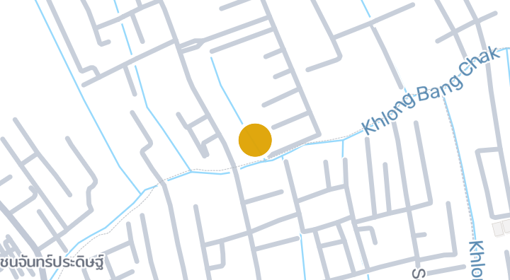
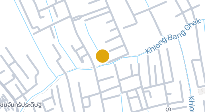
Asia place home office

Asia place home office

Condominium

Baan Inthavilla

Baan Inthavilla

Condominium

Bangkok Horizon Lite @ Phetkasem 48

Bangkok Horizon Lite @ Phetkasem 48

Condominium
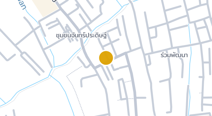
Chancharoen Housing Condominium in Bang Wa, Phasi Charoen, 6

Chancharoen Housing Condominium in Bang Wa, Phasi Charoen, 6

Condominium
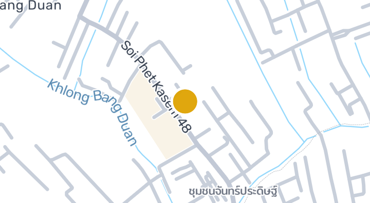
The Great Condo Petchkasem 48

The Great Condo Petchkasem 48

Condominium
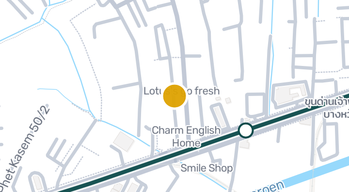
MRT Phetkasem 48 Place Condominium in Bang Wa, Phasi Charoen

MRT Phetkasem 48 Place Condominium in Bang Wa, Phasi Charoen

Condominium
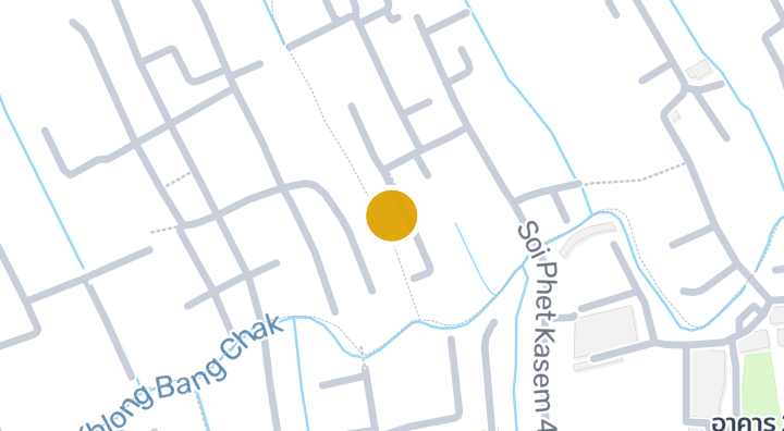
Chaiyo Condominium

Chaiyo Condominium

Condominium

The Key MRT Phetkasem 48

The Key MRT Phetkasem 48

Condominium
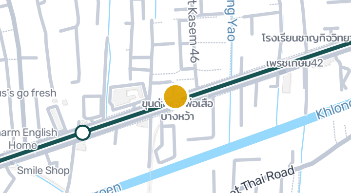
Bangkhae Condotown

Bangkhae Condotown

Condominium

Bangkok Horizon P 48

Bangkok Horizon P 48

Condominium

The Base Phetkasem

The Base Phetkasem

Condominium

Supalai Ville Ratchapruek-Phetkasem 48 | Condominium in Bang

Supalai Ville Ratchapruek-Phetkasem 48 | Condominium in Bang

Condominium

Get notified when new units become available in The Flora Phetkasem 48.

See Available Condos
In The Flora Phetkasem 48

Explore more

  • Browse Properties

    BaanMe — your trusted platform for property listings, real estate insights, and market intelligence.

  • Explore all 77 provinces of Thailand

    Use the interactive map to move from 77 provinces into 928 districts and 7,425 subdistricts, then compare local homes, prices, projects, and neighborhood guides.

  • Homes near transit, schools and landmarks

    Choose a place that matters to your daily life, then compare live rentals and homes for sale nearby. Every place below has active inventory in its search area.

  • Thailand Property Market Report

    Median asking prices across all active listings in Thailand, in Thai Baht.