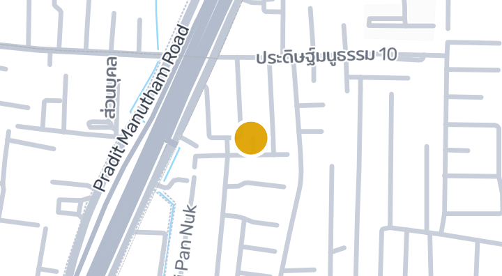
BOONNADA TOWNHOME
设施
- 停车位
项目数据
3
楼层
2
停车位
位置
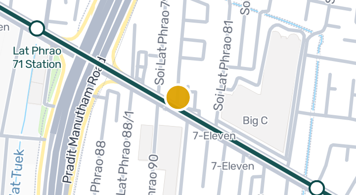
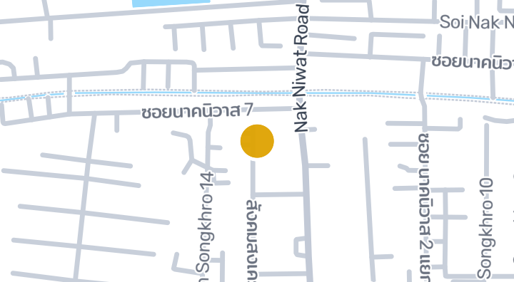
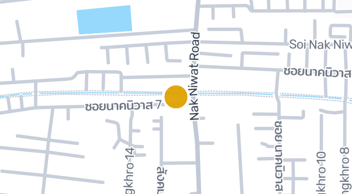
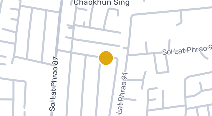
Khlong Chaokhun Sing
14 分钟
至Aviation Division Army Movement Center
16 分钟
至Lat Phrao 71 Station
87 分钟
至Kamphaeng Saen Airport
周边社区
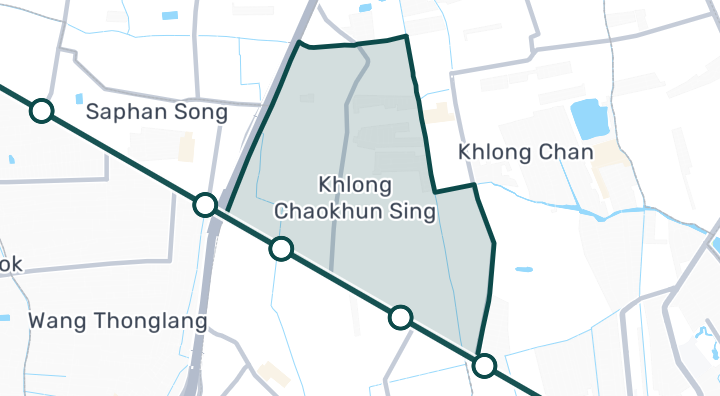
Khlong Chaokhun Sing
Khlong Chaokhun Sing is a subdistrict in Wang Thonglang, Bangkok. It is a residential area with property inventory records available for buyers and renters exploring the neighbourhood. The area is served by Mahat Thai Station, offering a transport option for commuters. For everyday needs, there are six convenience stores and one supermarket nearby, making daily errands straightforward. There is one park nearby, providing a nearby spot for outdoor recreation and relaxation.
探索Khlong Chaokhun Sing位置风险与周边信息
河流洪水高(基于估算)
山洪暴发数据尚不充足(来源不明)
干旱高(基于周边区域)
空气质量差中(基于实测)
火灾风险数据尚不充足(来源不明)
极端高温低(基于周边区域)
- 河流洪水
- 区域排水高度第10百分位为 -1.9066343738836409 米。描述的是区域,而非此地块。
- 资料范围: 区域背景 · 置信度:低
- 山洪或突发洪水
- 暂无可用依据。
- 资料范围: 资料不足
- 干旱
- 分析的10天期间中,20.833333333333336% 的降雨量低于当地正常值。区域筛查使用项目设定阈值。
- 资料范围: 区域背景 · 置信度:中
- 空气质量
- PM2.5 年均值:21.4137936382034 µg/m³,来源:OpenAQ。并非当前空气质量读数。
- 资料范围: 区域背景 · 置信度:中
- 火灾
- 暂无可用依据。
- 资料范围: 资料不足
- 高温
- 月最高温度的年均值为 31.6985529589617 °C。区域筛查使用项目设定阈值,并非个人健康预测。
- 资料范围: 区域背景 · 置信度:中
洪水
河流洪水
该位置尚无卫星洪水观测数据覆盖
河流洪水风险仅根据 2024 年一次卫星观测的洪水事件评分,覆盖泰国北部四个府(清迈、清莱、南邦、帕尧)。该范围之外显示“尚无数据”仅表示暂无观测记录,并不代表该地区安全。
山洪
尚未评估
置信度:低
- 坡度:0.3%
山洪地形数据来自 OpenStreetMap 水道数据。 查看 OpenStreetMap 数据来源说明
周边信息
- 政府建筑造价估算,最高
- 12,000 THB/m² — Bangkok府范围内
- 数据来源:Treasury Department (กรมธนารักษ์) construction cost appraisal · 许可协议:Open Data Common (Treasury Department building valuation catalogue) · 2024-08-15 至 2027-12-31
- 政府建筑造价估算,中位
- 7,950 THB/m² — Bangkok府范围内
- 数据来源:Treasury Department (กรมธนารักษ์) construction cost appraisal · 许可协议:Open Data Common (Treasury Department building valuation catalogue) · 2024-08-15 至 2027-12-31
- 政府建筑造价估算,最低
- 400 THB/m² — Bangkok府范围内
- 数据来源:Treasury Department (กรมธนารักษ์) construction cost appraisal · 许可协议:Open Data Common (Treasury Department building valuation catalogue) · 2024-08-15 至 2027-12-31
- 最干燥的月份
- 十二月 — Bangkok府范围内
- 数据来源:Open-Meteo (ERA5 reanalysis, via archive-api.open-meteo.com) · 许可协议:CC BY 4.0 (Attribution 4.0 International) -- https://open-meteo.com/en/licence · 1991-01-01 至 2020-12-31
- Climate rainfall annual total mean mm
- 1,195.3 mm — Bangkok府范围内
- 数据来源:Open-Meteo (ERA5 reanalysis, via archive-api.open-meteo.com) · 许可协议:CC BY 4.0 (Attribution 4.0 International) -- https://open-meteo.com/en/licence · 1991-01-01 至 2020-12-31
- 日均最高气温
- 31.7 C — Bangkok府范围内
- 数据来源:Open-Meteo (ERA5 reanalysis, via archive-api.open-meteo.com) · 许可协议:CC BY 4.0 (Attribution 4.0 International) -- https://open-meteo.com/en/licence · 1991-01-01 至 2020-12-31
- 降雨最多的月份
- 九月 — Bangkok府范围内
- 数据来源:Open-Meteo (ERA5 reanalysis, via archive-api.open-meteo.com) · 许可协议:CC BY 4.0 (Attribution 4.0 International) -- https://open-meteo.com/en/licence · 1991-01-01 至 2020-12-31
- 距最近排水道高度(中位数)
- -0.4 m — Bangkok府范围内
- 数据来源:Terrain-derived flash-flood indicators (HAND + slope + OSM drainage proximity; NOT a forecast or probability, not calibrated against observed events) from Copernicus DEM GLO-30 (via Mapterhorn terrain tiles) and OpenStreetMap waterway data. The banded metric flags whether the region CONTAINS terrain susceptible to flash flooding somewhere within it -- not the susceptibility of the region as a whole, and not of any individual property. · 许可协议:Copernicus WorldDEM-30 Licence, commercial use permitted (see ./region-elevation.ts's ELEVATION_SOURCE_LICENSE for the full citation) combined with OpenStreetMap contributors: ODbL 1.0 (https://www.openstreetmap.org/copyright) · 2010-12-12 至 2015-01-07
- 距最近排水道高度(最低 10%)
- -1.9 m — Bangkok府范围内
- 数据来源:Terrain-derived flash-flood indicators (HAND + slope + OSM drainage proximity; NOT a forecast or probability, not calibrated against observed events) from Copernicus DEM GLO-30 (via Mapterhorn terrain tiles) and OpenStreetMap waterway data. The banded metric flags whether the region CONTAINS terrain susceptible to flash flooding somewhere within it -- not the susceptibility of the region as a whole, and not of any individual property. · 许可协议:Copernicus WorldDEM-30 Licence, commercial use permitted (see ./region-elevation.ts's ELEVATION_SOURCE_LICENSE for the full citation) combined with OpenStreetMap contributors: ODbL 1.0 (https://www.openstreetmap.org/copyright) · 2010-12-12 至 2015-01-07
- 地形坡度(中位数)
- 0% — Bangkok府范围内
- 数据来源:Terrain-derived flash-flood indicators (HAND + slope + OSM drainage proximity; NOT a forecast or probability, not calibrated against observed events) from Copernicus DEM GLO-30 (via Mapterhorn terrain tiles) and OpenStreetMap waterway data. The banded metric flags whether the region CONTAINS terrain susceptible to flash flooding somewhere within it -- not the susceptibility of the region as a whole, and not of any individual property. · 许可协议:Copernicus WorldDEM-30 Licence, commercial use permitted (see ./region-elevation.ts's ELEVATION_SOURCE_LICENSE for the full citation) combined with OpenStreetMap contributors: ODbL 1.0 (https://www.openstreetmap.org/copyright) · 2010-12-12 至 2015-01-07
- 地形坡度(最陡 10%)
- 0.1% — Bangkok府范围内
- 数据来源:Terrain-derived flash-flood indicators (HAND + slope + OSM drainage proximity; NOT a forecast or probability, not calibrated against observed events) from Copernicus DEM GLO-30 (via Mapterhorn terrain tiles) and OpenStreetMap waterway data. The banded metric flags whether the region CONTAINS terrain susceptible to flash flooding somewhere within it -- not the susceptibility of the region as a whole, and not of any individual property. · 许可协议:Copernicus WorldDEM-30 Licence, commercial use permitted (see ./region-elevation.ts's ELEVATION_SOURCE_LICENSE for the full citation) combined with OpenStreetMap contributors: ODbL 1.0 (https://www.openstreetmap.org/copyright) · 2010-12-12 至 2015-01-07
- 距最近水道距离(中位数)
- 8,138.1 m — Bangkok府范围内
- 数据来源:Terrain-derived flash-flood indicators (HAND + slope + OSM drainage proximity; NOT a forecast or probability, not calibrated against observed events) from Copernicus DEM GLO-30 (via Mapterhorn terrain tiles) and OpenStreetMap waterway data. The banded metric flags whether the region CONTAINS terrain susceptible to flash flooding somewhere within it -- not the susceptibility of the region as a whole, and not of any individual property. · 许可协议:Copernicus WorldDEM-30 Licence, commercial use permitted (see ./region-elevation.ts's ELEVATION_SOURCE_LICENSE for the full citation) combined with OpenStreetMap contributors: ODbL 1.0 (https://www.openstreetmap.org/copyright) · 2010-12-12 至 2015-01-07
- 距最近水道距离(最近 10%)
- 2,611.1 m — Bangkok府范围内
- 数据来源:Terrain-derived flash-flood indicators (HAND + slope + OSM drainage proximity; NOT a forecast or probability, not calibrated against observed events) from Copernicus DEM GLO-30 (via Mapterhorn terrain tiles) and OpenStreetMap waterway data. The banded metric flags whether the region CONTAINS terrain susceptible to flash flooding somewhere within it -- not the susceptibility of the region as a whole, and not of any individual property. · 许可协议:Copernicus WorldDEM-30 Licence, commercial use permitted (see ./region-elevation.ts's ELEVATION_SOURCE_LICENSE for the full citation) combined with OpenStreetMap contributors: ODbL 1.0 (https://www.openstreetmap.org/copyright) · 2010-12-12 至 2015-01-07
- 山洪地形易发程度
- 低 — Bangkok府范围内
- 数据来源:Terrain-derived flash-flood indicators (HAND + slope + OSM drainage proximity; NOT a forecast or probability, not calibrated against observed events) from Copernicus DEM GLO-30 (via Mapterhorn terrain tiles) and OpenStreetMap waterway data. The banded metric flags whether the region CONTAINS terrain susceptible to flash flooding somewhere within it -- not the susceptibility of the region as a whole, and not of any individual property. · 许可协议:Copernicus WorldDEM-30 Licence, commercial use permitted (see ./region-elevation.ts's ELEVATION_SOURCE_LICENSE for the full citation) combined with OpenStreetMap contributors: ODbL 1.0 (https://www.openstreetmap.org/copyright) · 2010-12-12 至 2015-01-07
- 海拔最高值
- 6.8 m — Khlong Chaokhun Sing分区范围内
- 数据来源:Mapterhorn terrain tiles (Copernicus DEM GLO-30 / WorldDEM-30, terrarium encoding, via tiles.mapterhorn.com) · 许可协议:Copernicus WorldDEM-30 Licence (COP-DEM-GLO-30-F, 'Global 30m Full, Free & Open' -- https://documentation.dataspace.copernicus.eu/APIs/SentinelHub/Data/DEM/resources/license/License-COPDEM-30.pdf); free of charge, reproduction/distribution/public-communication/adaptation all granted, commercial use permitted; required notice: "produced using Copernicus WorldDEM-30 © DLR e.V. 2010-2014 and © Airbus Defence and Space GmbH 2014-2018 provided under COPERNICUS by the European Union and ESA; all rights reserved." Tiles served by Mapterhorn (© Mapterhorn, https://mapterhorn.com/attribution) -- both notices required. · 2010-12-12 至 2015-01-07
- 海拔中位值
- 4.7 m — Khlong Chaokhun Sing分区范围内
- 数据来源:Mapterhorn terrain tiles (Copernicus DEM GLO-30 / WorldDEM-30, terrarium encoding, via tiles.mapterhorn.com) · 许可协议:Copernicus WorldDEM-30 Licence (COP-DEM-GLO-30-F, 'Global 30m Full, Free & Open' -- https://documentation.dataspace.copernicus.eu/APIs/SentinelHub/Data/DEM/resources/license/License-COPDEM-30.pdf); free of charge, reproduction/distribution/public-communication/adaptation all granted, commercial use permitted; required notice: "produced using Copernicus WorldDEM-30 © DLR e.V. 2010-2014 and © Airbus Defence and Space GmbH 2014-2018 provided under COPERNICUS by the European Union and ESA; all rights reserved." Tiles served by Mapterhorn (© Mapterhorn, https://mapterhorn.com/attribution) -- both notices required. · 2010-12-12 至 2015-01-07
- 海拔最低值
- 2.2 m — Khlong Chaokhun Sing分区范围内
- 数据来源:Mapterhorn terrain tiles (Copernicus DEM GLO-30 / WorldDEM-30, terrarium encoding, via tiles.mapterhorn.com) · 许可协议:Copernicus WorldDEM-30 Licence (COP-DEM-GLO-30-F, 'Global 30m Full, Free & Open' -- https://documentation.dataspace.copernicus.eu/APIs/SentinelHub/Data/DEM/resources/license/License-COPDEM-30.pdf); free of charge, reproduction/distribution/public-communication/adaptation all granted, commercial use permitted; required notice: "produced using Copernicus WorldDEM-30 © DLR e.V. 2010-2014 and © Airbus Defence and Space GmbH 2014-2018 provided under COPERNICUS by the European Union and ESA; all rights reserved." Tiles served by Mapterhorn (© Mapterhorn, https://mapterhorn.com/attribution) -- both notices required. · 2010-12-12 至 2015-01-07
- 海拔高差
- 4.6 m — Khlong Chaokhun Sing分区范围内
- 数据来源:Mapterhorn terrain tiles (Copernicus DEM GLO-30 / WorldDEM-30, terrarium encoding, via tiles.mapterhorn.com) · 许可协议:Copernicus WorldDEM-30 Licence (COP-DEM-GLO-30-F, 'Global 30m Full, Free & Open' -- https://documentation.dataspace.copernicus.eu/APIs/SentinelHub/Data/DEM/resources/license/License-COPDEM-30.pdf); free of charge, reproduction/distribution/public-communication/adaptation all granted, commercial use permitted; required notice: "produced using Copernicus WorldDEM-30 © DLR e.V. 2010-2014 and © Airbus Defence and Space GmbH 2014-2018 provided under COPERNICUS by the European Union and ESA; all rights reserved." Tiles served by Mapterhorn (© Mapterhorn, https://mapterhorn.com/attribution) -- both notices required. · 2010-12-12 至 2015-01-07
- 近 10 年降雨不足旬数占比
- 20.8% — Bangkok府范围内
- 数据来源:Climate Hazards Center UC Santa Barbara & WFP -- Thailand: Rainfall Indicators at Subnational Level (HDX) · 许可协议:CC BY (Creative Commons Attribution International) · 2016-01-01 至 2025-12-31
- 近 10 年最严重 3 个月降雨不足程度
- 26.8% — Bangkok府范围内
- 数据来源:Climate Hazards Center UC Santa Barbara & WFP -- Thailand: Rainfall Indicators at Subnational Level (HDX) · 许可协议:CC BY (Creative Commons Attribution International) · 2016-01-01 至 2025-12-31
- PM2.5 年平均值(低成本传感器)
- 25 µg/m³ — Bangkok府范围内
- 数据来源:OpenAQ — Soi Rimthang Rotfai 3-2662388 (low-cost) · 许可协议:CC BY 4.0 (AirGradient via OpenAQ) · 2025-01-01 至 2026-01-01
- PM2.5 年平均值
- 21.4 µg/m³ — Bangkok府范围内
- 数据来源:OpenAQ — Millennium Residence-2151387 (reference) · 许可协议:CC BY 4.0 (AirGradient via OpenAQ) · 2025-01-01 至 2026-01-01
- 近 3 个月降雨量占常年比例
- 108.4% — Bangkok府范围内
- 数据来源:Climate Hazards Center UC Santa Barbara & WFP -- Thailand: Rainfall Indicators at Subnational Level (HDX) · 许可协议:CC BY (Creative Commons Attribution International) · 2026-07-01 至 2026-09-21
筛查资料不构成安全保证、未来风险预测或现场检查。
房源评价
还没有评价,快来成为第一个吧。
评价
撰写评价
需要登录。每个项目仅可评价一次。
登录后即可发表评价。
附近项目
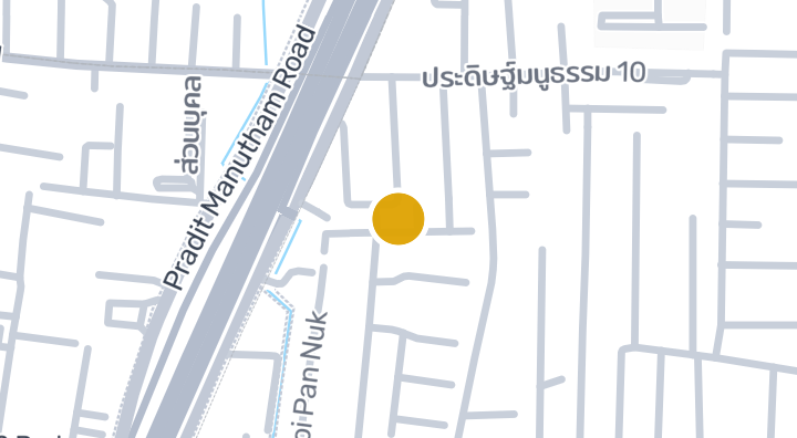
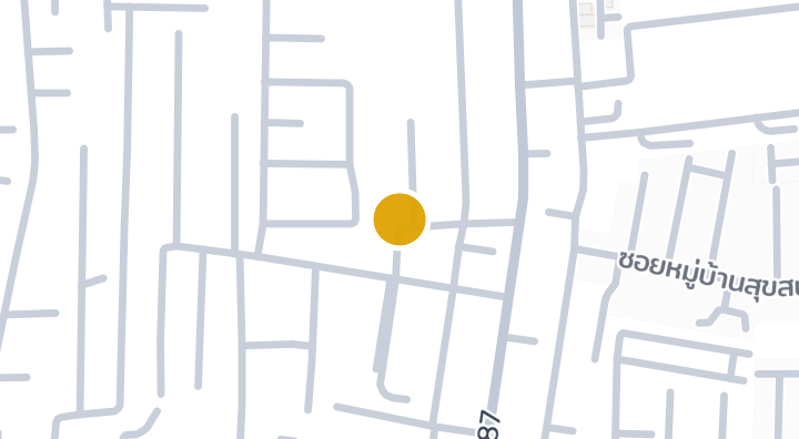
当 BOONNADA TOWNHOME 有新单元时通知我。