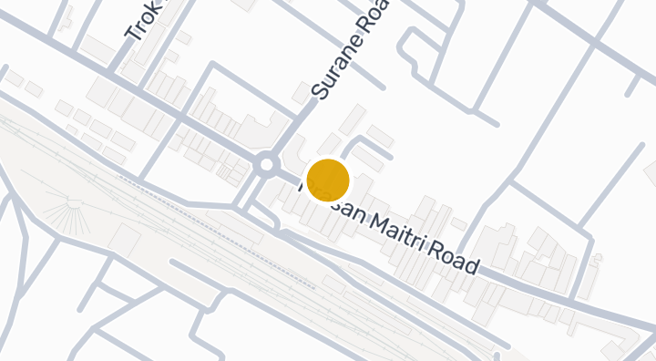
Nampu Plaza Lampang
位置
Nampu Plaza Lampang
地面塌陷易发性(DMR):中等
58 分钟
至Lamphun Airport
位置风险与周边信息
河流洪水中(基于估算)
山洪暴发低(基于估算)
干旱中(基于周边区域)
空气质量差中(基于实测)
火灾风险数据尚不充足(来源不明)
极端高温数据尚不充足(来源不明)
- 河流洪水
- 相对最近排水通道的高度为 12.376913527452274 米。这是间接筛查指标。
- 资料范围: 模型筛查 · 置信度:中
- 山洪或突发洪水
- 地形推导的易受影响等级为 极低,并非洪水深度预测。
- 资料范围: 模型筛查 · 置信度:高
- 干旱
- 分析的10天期间中,11.944444444444445% 的降雨量低于当地正常值。区域筛查使用项目设定阈值。
- 资料范围: 区域背景 · 置信度:中
- 空气质量
- PM2.5 年均值:24.345578294300907 µg/m³,来源:OpenAQ。并非当前空气质量读数。
- 资料范围: 区域背景 · 置信度:中
- 火灾
- 暂无可用依据。
- 资料范围: 资料不足
- 高温
- 暂无可用依据。
- 资料范围: 资料不足
洪水
河流洪水
该位置尚无卫星洪水观测数据覆盖
河流洪水风险仅根据 2024 年一次卫星观测的洪水事件评分,覆盖泰国北部四个府(清迈、清莱、南邦、帕尧)。该范围之外显示“尚无数据”仅表示暂无观测记录,并不代表该地区安全。
山洪
极低 — 地势平坦,远离水道
置信度:高
- 距最近排水道的相对高度:12.4 米
- 距最近水道的距离:2096 米
- 坡度:0.1%
山洪地形数据来自 OpenStreetMap 水道数据。 查看 OpenStreetMap 数据来源说明
周边信息
- 政府建筑造价估算,最高
- 13,500 THB/m² — Lampang府范围内
- 数据来源:Treasury Department (กรมธนารักษ์) construction cost appraisal · 许可协议:Open Data Common (Treasury Department building valuation catalogue) · 2024-08-15 至 2027-12-31
- 政府建筑造价估算,中位
- 7,550 THB/m² — Lampang府范围内
- 数据来源:Treasury Department (กรมธนารักษ์) construction cost appraisal · 许可协议:Open Data Common (Treasury Department building valuation catalogue) · 2024-08-15 至 2027-12-31
- 政府建筑造价估算,最低
- 450 THB/m² — Lampang府范围内
- 数据来源:Treasury Department (กรมธนารักษ์) construction cost appraisal · 许可协议:Open Data Common (Treasury Department building valuation catalogue) · 2024-08-15 至 2027-12-31
- 土地厅市政区估价,最高——政府评估价,用于计税及过户费,非市场价
- 7,500 THB/sq_wah — Sop Tui分区范围内
- 数据来源:Treasury Department (กรมธนารักษ์) land valuation (ราคาประเมินที่ดิน) - attach_all_20240805.csv — เทศบาลนครลำปาง (municipal area) · 许可协议:Open Data Common · 2024-08-14 至 2024-08-14
- 土地厅市政区估价,中位——政府评估价,用于计税及过户费,非市场价
- 2,000 THB/sq_wah — Sop Tui分区范围内
- 数据来源:Treasury Department (กรมธนารักษ์) land valuation (ราคาประเมินที่ดิน) - attach_all_20240805.csv — เทศบาลนครลำปาง (municipal area) · 许可协议:Open Data Common · 2024-08-14 至 2024-08-14
- 土地厅市政区估价,最低——政府评估价,用于计税及过户费,非市场价
- 750 THB/sq_wah — Sop Tui分区范围内
- 数据来源:Treasury Department (กรมธนารักษ์) land valuation (ราคาประเมินที่ดิน) - attach_all_20240805.csv — เทศบาลนครลำปาง (municipal area) · 许可协议:Open Data Common · 2024-08-14 至 2024-08-14
- 土地厅分区估价,最高——政府评估价,用于计税及过户费,非市场价
- 5,000 THB/sq_wah — 南邦府治县县/区范围内
- 数据来源:Treasury Department (กรมธนารักษ์) land valuation (ราคาประเมินที่ดิน) - attach_all_20240805.csv · 许可协议:Open Data Common · 2024-08-14 至 2024-08-14
- 土地厅分区估价,中位——政府评估价,用于计税及过户费,非市场价
- 500 THB/sq_wah — 南邦府治县县/区范围内
- 数据来源:Treasury Department (กรมธนารักษ์) land valuation (ราคาประเมินที่ดิน) - attach_all_20240805.csv · 许可协议:Open Data Common · 2024-08-14 至 2024-08-14
- 土地厅分区估价,最低——政府评估价,用于计税及过户费,非市场价
- 100 THB/sq_wah — 南邦府治县县/区范围内
- 数据来源:Treasury Department (กรมธนารักษ์) land valuation (ราคาประเมินที่ดิน) - attach_all_20240805.csv · 许可协议:Open Data Common · 2024-08-14 至 2024-08-14
- 最干燥的月份
- 二月 — Lampang府范围内
- 数据来源:Open-Meteo (ERA5 reanalysis, via archive-api.open-meteo.com) · 许可协议:CC BY 4.0 (Attribution 4.0 International) -- https://open-meteo.com/en/licence · 1991-01-01 至 2020-12-31
- Climate rainfall annual total mean mm
- 1,357.8 mm — Lampang府范围内
- 数据来源:Open-Meteo (ERA5 reanalysis, via archive-api.open-meteo.com) · 许可协议:CC BY 4.0 (Attribution 4.0 International) -- https://open-meteo.com/en/licence · 1991-01-01 至 2020-12-31
- 降雨最多的月份
- 八月 — Lampang府范围内
- 数据来源:Open-Meteo (ERA5 reanalysis, via archive-api.open-meteo.com) · 许可协议:CC BY 4.0 (Attribution 4.0 International) -- https://open-meteo.com/en/licence · 1991-01-01 至 2020-12-31
- 距最近排水道高度(中位数)
- 10 m — Sop Tui分区范围内
- 数据来源:Terrain-derived flash-flood indicators (HAND + slope + OSM drainage proximity; NOT a forecast or probability, not calibrated against observed events) from Copernicus DEM GLO-30 (via Mapterhorn terrain tiles) and OpenStreetMap waterway data. The banded metric flags whether the region CONTAINS terrain susceptible to flash flooding somewhere within it -- not the susceptibility of the region as a whole, and not of any individual property. · 许可协议:Copernicus WorldDEM-30 Licence, commercial use permitted (see ./region-elevation.ts's ELEVATION_SOURCE_LICENSE for the full citation) combined with OpenStreetMap contributors: ODbL 1.0 (https://www.openstreetmap.org/copyright) · 2010-12-12 至 2015-01-07
- 距最近排水道高度(最低 10%)
- 8 m — Sop Tui分区范围内
- 数据来源:Terrain-derived flash-flood indicators (HAND + slope + OSM drainage proximity; NOT a forecast or probability, not calibrated against observed events) from Copernicus DEM GLO-30 (via Mapterhorn terrain tiles) and OpenStreetMap waterway data. The banded metric flags whether the region CONTAINS terrain susceptible to flash flooding somewhere within it -- not the susceptibility of the region as a whole, and not of any individual property. · 许可协议:Copernicus WorldDEM-30 Licence, commercial use permitted (see ./region-elevation.ts's ELEVATION_SOURCE_LICENSE for the full citation) combined with OpenStreetMap contributors: ODbL 1.0 (https://www.openstreetmap.org/copyright) · 2010-12-12 至 2015-01-07
- 地形坡度(中位数)
- 0.4% — Sop Tui分区范围内
- 数据来源:Terrain-derived flash-flood indicators (HAND + slope + OSM drainage proximity; NOT a forecast or probability, not calibrated against observed events) from Copernicus DEM GLO-30 (via Mapterhorn terrain tiles) and OpenStreetMap waterway data. The banded metric flags whether the region CONTAINS terrain susceptible to flash flooding somewhere within it -- not the susceptibility of the region as a whole, and not of any individual property. · 许可协议:Copernicus WorldDEM-30 Licence, commercial use permitted (see ./region-elevation.ts's ELEVATION_SOURCE_LICENSE for the full citation) combined with OpenStreetMap contributors: ODbL 1.0 (https://www.openstreetmap.org/copyright) · 2010-12-12 至 2015-01-07
- 地形坡度(最陡 10%)
- 1.1% — Sop Tui分区范围内
- 数据来源:Terrain-derived flash-flood indicators (HAND + slope + OSM drainage proximity; NOT a forecast or probability, not calibrated against observed events) from Copernicus DEM GLO-30 (via Mapterhorn terrain tiles) and OpenStreetMap waterway data. The banded metric flags whether the region CONTAINS terrain susceptible to flash flooding somewhere within it -- not the susceptibility of the region as a whole, and not of any individual property. · 许可协议:Copernicus WorldDEM-30 Licence, commercial use permitted (see ./region-elevation.ts's ELEVATION_SOURCE_LICENSE for the full citation) combined with OpenStreetMap contributors: ODbL 1.0 (https://www.openstreetmap.org/copyright) · 2010-12-12 至 2015-01-07
- 距最近水道距离(中位数)
- 1,601 m — Sop Tui分区范围内
- 数据来源:Terrain-derived flash-flood indicators (HAND + slope + OSM drainage proximity; NOT a forecast or probability, not calibrated against observed events) from Copernicus DEM GLO-30 (via Mapterhorn terrain tiles) and OpenStreetMap waterway data. The banded metric flags whether the region CONTAINS terrain susceptible to flash flooding somewhere within it -- not the susceptibility of the region as a whole, and not of any individual property. · 许可协议:Copernicus WorldDEM-30 Licence, commercial use permitted (see ./region-elevation.ts's ELEVATION_SOURCE_LICENSE for the full citation) combined with OpenStreetMap contributors: ODbL 1.0 (https://www.openstreetmap.org/copyright) · 2010-12-12 至 2015-01-07
- 距最近水道距离(最近 10%)
- 637.1 m — Sop Tui分区范围内
- 数据来源:Terrain-derived flash-flood indicators (HAND + slope + OSM drainage proximity; NOT a forecast or probability, not calibrated against observed events) from Copernicus DEM GLO-30 (via Mapterhorn terrain tiles) and OpenStreetMap waterway data. The banded metric flags whether the region CONTAINS terrain susceptible to flash flooding somewhere within it -- not the susceptibility of the region as a whole, and not of any individual property. · 许可协议:Copernicus WorldDEM-30 Licence, commercial use permitted (see ./region-elevation.ts's ELEVATION_SOURCE_LICENSE for the full citation) combined with OpenStreetMap contributors: ODbL 1.0 (https://www.openstreetmap.org/copyright) · 2010-12-12 至 2015-01-07
- 山洪地形易发程度
- 极低 — Sop Tui分区范围内
- 数据来源:Terrain-derived flash-flood indicators (HAND + slope + OSM drainage proximity; NOT a forecast or probability, not calibrated against observed events) from Copernicus DEM GLO-30 (via Mapterhorn terrain tiles) and OpenStreetMap waterway data. The banded metric flags whether the region CONTAINS terrain susceptible to flash flooding somewhere within it -- not the susceptibility of the region as a whole, and not of any individual property. · 许可协议:Copernicus WorldDEM-30 Licence, commercial use permitted (see ./region-elevation.ts's ELEVATION_SOURCE_LICENSE for the full citation) combined with OpenStreetMap contributors: ODbL 1.0 (https://www.openstreetmap.org/copyright) · 2010-12-12 至 2015-01-07
- 海拔最高值
- 238.7 m — Sop Tui分区范围内
- 数据来源:Mapterhorn terrain tiles (Copernicus DEM GLO-30 / WorldDEM-30, terrarium encoding, via tiles.mapterhorn.com) · 许可协议:Copernicus WorldDEM-30 Licence (COP-DEM-GLO-30-F, 'Global 30m Full, Free & Open' -- https://documentation.dataspace.copernicus.eu/APIs/SentinelHub/Data/DEM/resources/license/License-COPDEM-30.pdf); free of charge, reproduction/distribution/public-communication/adaptation all granted, commercial use permitted; required notice: "produced using Copernicus WorldDEM-30 © DLR e.V. 2010-2014 and © Airbus Defence and Space GmbH 2014-2018 provided under COPERNICUS by the European Union and ESA; all rights reserved." Tiles served by Mapterhorn (© Mapterhorn, https://mapterhorn.com/attribution) -- both notices required. · 2010-12-12 至 2015-01-07
- 海拔中位值
- 235.2 m — Sop Tui分区范围内
- 数据来源:Mapterhorn terrain tiles (Copernicus DEM GLO-30 / WorldDEM-30, terrarium encoding, via tiles.mapterhorn.com) · 许可协议:Copernicus WorldDEM-30 Licence (COP-DEM-GLO-30-F, 'Global 30m Full, Free & Open' -- https://documentation.dataspace.copernicus.eu/APIs/SentinelHub/Data/DEM/resources/license/License-COPDEM-30.pdf); free of charge, reproduction/distribution/public-communication/adaptation all granted, commercial use permitted; required notice: "produced using Copernicus WorldDEM-30 © DLR e.V. 2010-2014 and © Airbus Defence and Space GmbH 2014-2018 provided under COPERNICUS by the European Union and ESA; all rights reserved." Tiles served by Mapterhorn (© Mapterhorn, https://mapterhorn.com/attribution) -- both notices required. · 2010-12-12 至 2015-01-07
- 海拔最低值
- 224.5 m — Sop Tui分区范围内
- 数据来源:Mapterhorn terrain tiles (Copernicus DEM GLO-30 / WorldDEM-30, terrarium encoding, via tiles.mapterhorn.com) · 许可协议:Copernicus WorldDEM-30 Licence (COP-DEM-GLO-30-F, 'Global 30m Full, Free & Open' -- https://documentation.dataspace.copernicus.eu/APIs/SentinelHub/Data/DEM/resources/license/License-COPDEM-30.pdf); free of charge, reproduction/distribution/public-communication/adaptation all granted, commercial use permitted; required notice: "produced using Copernicus WorldDEM-30 © DLR e.V. 2010-2014 and © Airbus Defence and Space GmbH 2014-2018 provided under COPERNICUS by the European Union and ESA; all rights reserved." Tiles served by Mapterhorn (© Mapterhorn, https://mapterhorn.com/attribution) -- both notices required. · 2010-12-12 至 2015-01-07
- 海拔高差
- 14.2 m — Sop Tui分区范围内
- 数据来源:Mapterhorn terrain tiles (Copernicus DEM GLO-30 / WorldDEM-30, terrarium encoding, via tiles.mapterhorn.com) · 许可协议:Copernicus WorldDEM-30 Licence (COP-DEM-GLO-30-F, 'Global 30m Full, Free & Open' -- https://documentation.dataspace.copernicus.eu/APIs/SentinelHub/Data/DEM/resources/license/License-COPDEM-30.pdf); free of charge, reproduction/distribution/public-communication/adaptation all granted, commercial use permitted; required notice: "produced using Copernicus WorldDEM-30 © DLR e.V. 2010-2014 and © Airbus Defence and Space GmbH 2014-2018 provided under COPERNICUS by the European Union and ESA; all rights reserved." Tiles served by Mapterhorn (© Mapterhorn, https://mapterhorn.com/attribution) -- both notices required. · 2010-12-12 至 2015-01-07
- 近 10 年降雨不足旬数占比
- 11.9% — 南邦府治县县/区范围内
- 数据来源:Climate Hazards Center UC Santa Barbara & WFP -- Thailand: Rainfall Indicators at Subnational Level (HDX) · 许可协议:CC BY (Creative Commons Attribution International) · 2016-01-01 至 2025-12-31
- 近 10 年最严重 3 个月降雨不足程度
- 37.2% — 南邦府治县县/区范围内
- 数据来源:Climate Hazards Center UC Santa Barbara & WFP -- Thailand: Rainfall Indicators at Subnational Level (HDX) · 许可协议:CC BY (Creative Commons Attribution International) · 2016-01-01 至 2025-12-31
- 2024 年事件已分析面积占比
- 0% — Lampang府范围内
- 数据来源:UNOSAT FL20240912THA -- Satellite detected water extents from 1 Aug. 2024 to 22 October 2024 over Chiang Rai Province (OBSERVED flood extent for ONE 2024 satellite pass -- not a general or future flood-risk indicator) · 许可协议:CC BY-SA (UNOSAT / United Nations Satellite Centre) · 2024-08-01 至 2024-10-22
- 2024 年事件观测洪水面积
- 0 km2 — Lampang府范围内
- 数据来源:UNOSAT FL20240912THA -- Satellite detected water extents from 1 Aug. 2024 to 22 October 2024 over Chiang Rai Province (OBSERVED flood extent for ONE 2024 satellite pass -- not a general or future flood-risk indicator) · 许可协议:CC BY-SA (UNOSAT / United Nations Satellite Centre) · 2024-08-01 至 2024-10-22
- 2024 年事件受淹面积占比
- 0% — Lampang府范围内
- 数据来源:UNOSAT FL20240912THA -- Satellite detected water extents from 1 Aug. 2024 to 22 October 2024 over Chiang Rai Province (OBSERVED flood extent for ONE 2024 satellite pass -- not a general or future flood-risk indicator) · 许可协议:CC BY-SA (UNOSAT / United Nations Satellite Centre) · 2024-08-01 至 2024-10-22
- 2024 年事件洪水暴露等级
- 尚未评估 — Lampang府范围内
- 数据来源:UNOSAT FL20240912THA -- Satellite detected water extents from 1 Aug. 2024 to 22 October 2024 over Chiang Rai Province (OBSERVED flood extent for ONE 2024 satellite pass -- not a general or future flood-risk indicator) · 许可协议:CC BY-SA (UNOSAT / United Nations Satellite Centre) · 2024-08-01 至 2024-10-22
- PM2.5 年平均值(低成本传感器)
- 23.1 µg/m³ — Lampang府范围内
- 数据来源:OpenAQ — โรงเรียนเสริมขวาวิทยา-2802554 (low-cost) · 许可协议:CC BY 4.0 (AirGradient via OpenAQ) · 2025-01-01 至 2026-01-01
- PM2.5 年平均值
- 24.3 µg/m³ — Lampang府范围内
- 数据来源:OpenAQ — Provincial Waterworks Authority Mae Moh-237942 (reference) · 许可协议:Open Data Common (Pollution Control Department) · 2025-01-01 至 2026-01-01
- 近 3 个月降雨量占常年比例
- 104% — 南邦府治县县/区范围内
- 数据来源:Climate Hazards Center UC Santa Barbara & WFP -- Thailand: Rainfall Indicators at Subnational Level (HDX) · 许可协议:CC BY (Creative Commons Attribution International) · 2026-07-01 至 2026-09-21
筛查资料不构成安全保证、未来风险预测或现场检查。
房源评价
还没有评价,快来成为第一个吧。
评价
撰写评价
需要登录。每个项目仅可评价一次。
登录后即可发表评价。
附近项目
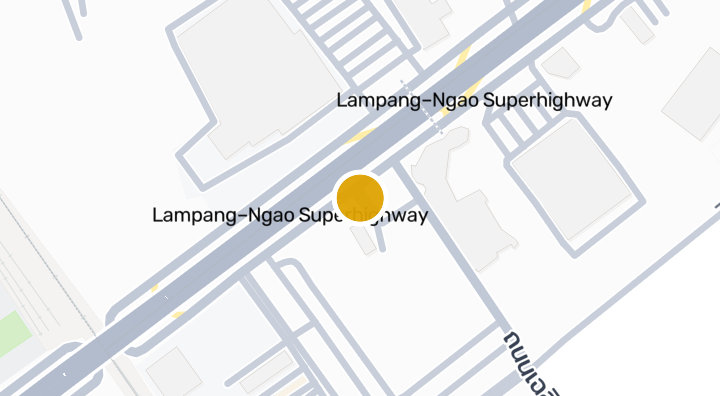
The Happiness Condominium Lampang
公寓楼
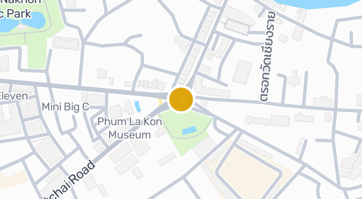
Jitaree Village 1
公寓楼


Chapter Condo
公寓楼
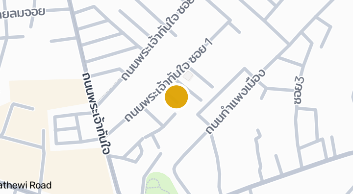
kluaymailklangmueang
公寓楼
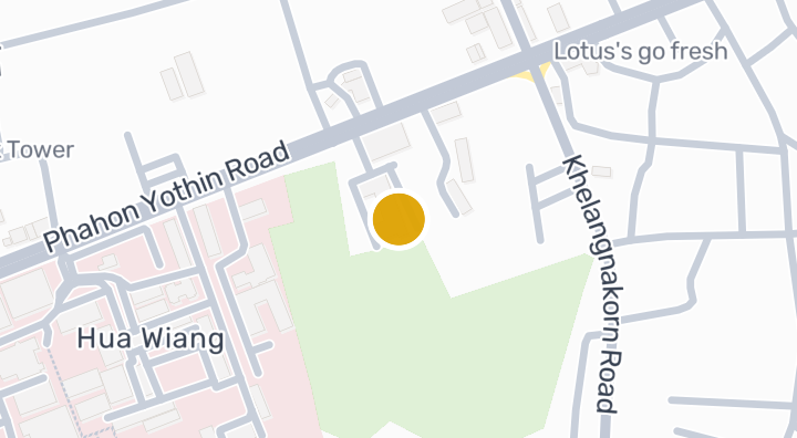
Condo dream lampang
公寓楼
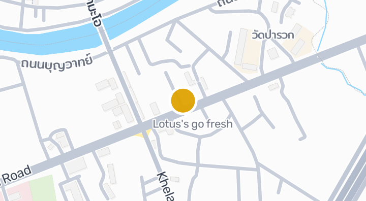
The gusto @ huavieng
公寓楼
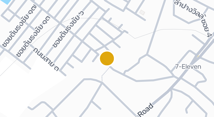
National Housing Authority Lumpang (Ton thong chai)
公寓楼
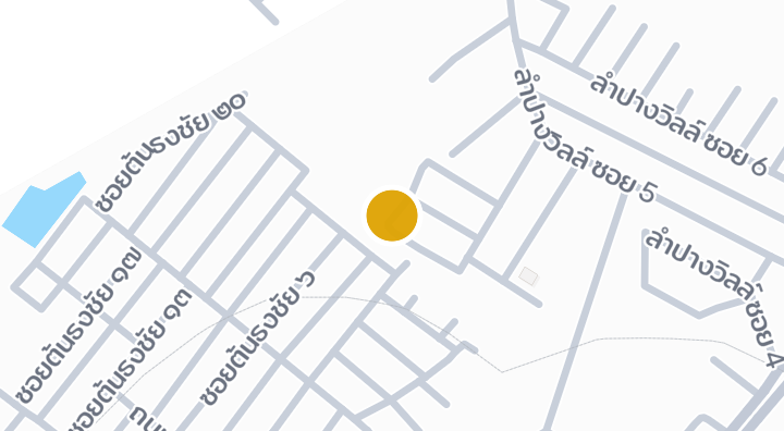
Reybella Home
公寓楼
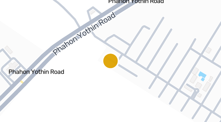
Jitareevill 2
公寓楼
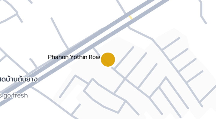
Baan Pannee Lampang
公寓楼
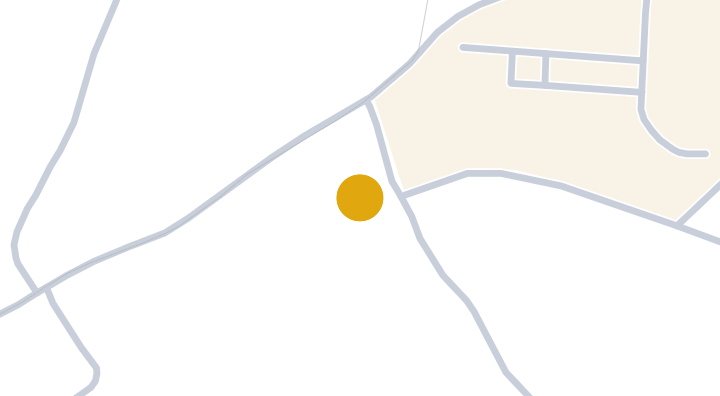
Baan Deejai Koh Kha
公寓楼
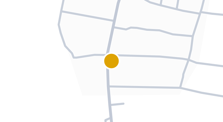
Kalpapruek City Plus Lampang
公寓楼
当 Nampu Plaza Lampang 有新单元时通知我。