租房

公寓出租

别墅出租

豪华别墅出租

公寓出租

买房

公寓出售

别墅出售

豪华别墅出售

土地出售

探索

区域

使用互动地图,从77府深入至928个县和7,425个街道,比较当地房源、价格、楼盘和区域指南。

浏览项目

搜索目前有在售或在租房源的公寓、住宅小区及开发项目

交通、学校和地标附近的房源

选择对日常生活重要的地点,再比较附近的实时出租和出售房源。下列每个地点的搜索范围内都有在售或在租房源。

业主已批准的机会

探索业主已确认价格且愿意沟通的房产,包括不急于出售的业主。

查找您附近的经纪人

按府分浏览经过验证的房地产经纪人和中介机构,查看在售房源和评价。

资源中心

指南与市场洞察

泰国房地产市场报告

网络上在售房源最多的府。点击查看该府的完整市场报告。

精选指南

精选泰国最佳购买、租赁和居住地区

签证服务

泰国签证类型、延期和申请

泰国房产法规

通俗易懂的泰国房产法规指南,已对照官方来源核实 — 适用于境外购房者、泰国购房者及租房者。

泰国洪水历史地图

免费工具:使用历史卫星雷达(SAR)观测数据,查询泰国某个地址、巷道或公寓项目是否曾经发生过洪水。

房产资讯

泰国签证、税务与房产法规的最新动态,已对照官方来源核实。

所有文章

攻略、市场动态和房产指南

工具

泰国房贷计算器

根据您输入的房产价格、首付款、年利率和贷款期限,估算每月住房贷款还款额。

过户费计算器

估算泰国房产过户税费

面积换算

泰国与国际土地单位互换

  • 公寓出租
  • 别墅出租
  • 豪华别墅出租
  • 公寓出租
  • 公寓出售
  • 别墅出售
  • 豪华别墅出售
  • 土地出售
  • 区域
  • 浏览项目
  • 交通、学校和地标附近的房源
  • 业主已批准的机会
  • 查找您附近的经纪人
  • 泰国房地产市场报告
  • 精选指南
  • 签证服务
  • 泰国房产法规
  • 泰国洪水历史地图
  • 房产资讯
  • 所有文章
  • 泰国房贷计算器
  • 过户费计算器
  • 面积换算

为什么选择 BaanMe?

ID 认证经纪人

BaanMe 上的每位经纪人都必须通过泰国政府身份证验证后才能发布任何房源——您始终清楚地知道您在与谁打交道,违规者将被永久封禁。

安全的应用内聊天(即将推出)

我们正在开发应用内消息功能。上线前,联系方式取决于经纪人和房源。

押金保护(即将推出)

即将推出:BaanMe 会代为保管您的押金并亲自审核每一项扣款申请——让不公平的扣款和消失的房东成为过去。

合同支持

签署前请向经纪人确认可提供的合同语言和条款。

环境影响

我们关心您、我们和所有人的环境。因此我们致力于在泰国拜县重新造林,在 Conserve Natural Forests 这个致力于拜县及周边森林恢复的当地非政府组织的帮助下。

区域

  • Bangkok房源
  • Chiang Mai房源
  • Samut Prakan房源
  • Phetchabun房源
  • Lamphun房源
  • Nonthaburi房源
  • Chiang Rai房源
  • Chon Buri房源

浏览房产

  • 曼谷公寓出租
  • 曼谷服务式公寓出租
  • 清迈独栋住宅出租
  • 曼谷办公室出租
  • 曼谷仓库出租
  • 苏梅岛住宅出租
  • 所有房产 →

常见问题

  • 2026年泰国房地产市场趋势:分化中的复苏
  • 更多 →

精选指南

  • 曼谷购买公寓的最佳区域
  • 泰国外籍人士的最佳居住区
  • 清迈租房的最佳区域
  • 普吉岛购买别墅的最佳区域
  • 曼谷适合家庭的最佳居住区
  • 所有指南 →

BaanMe

  • 关于 BaanMe
  • 媒体咨询
  • 品牌资源
  • 隐私政策
  • 服务条款
  • 地图数据来源
  • 帮助
  • 在 Google 上将 BaanMe 设为首选来源
  • 删除账户

© Niklas Benjamin Muegge, 2026

  1. 首页
  2. Utopia Yamu
Utopia Yamu
概览配套设施数据与统计位置评价可选房源附近项目

Utopia Yamu

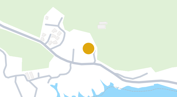
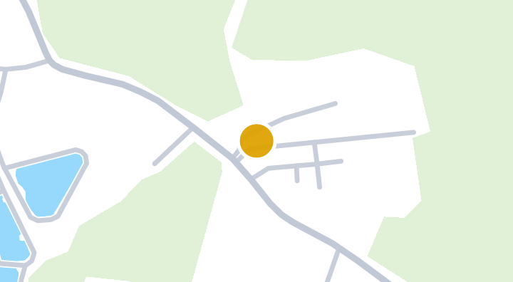
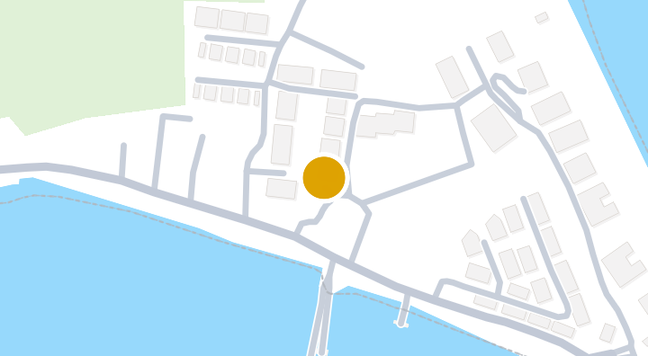
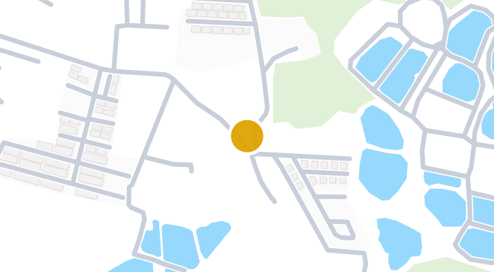
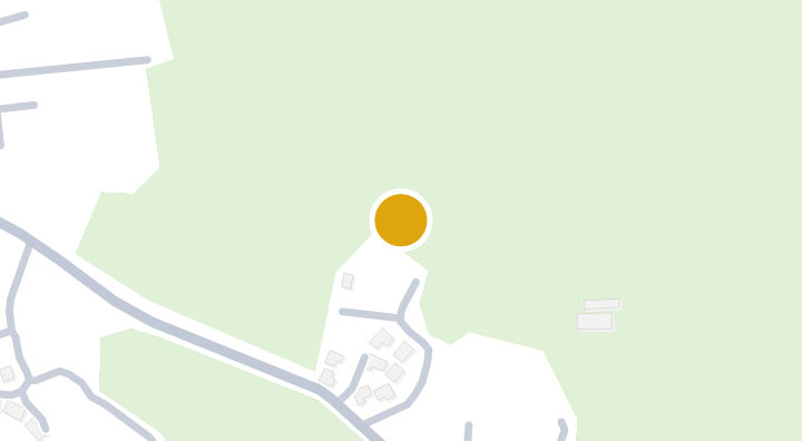
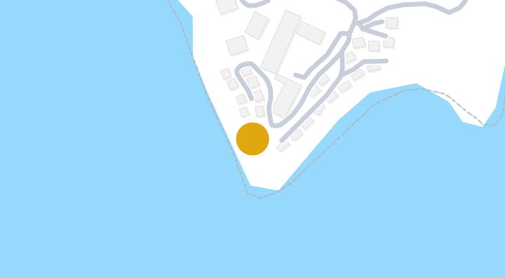
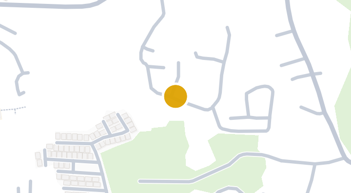
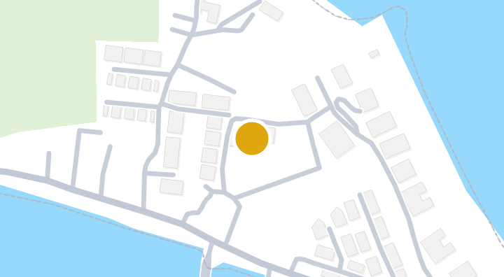
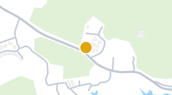
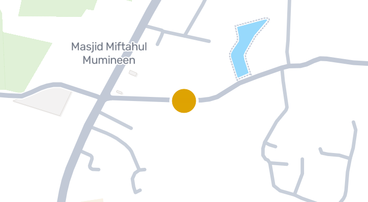
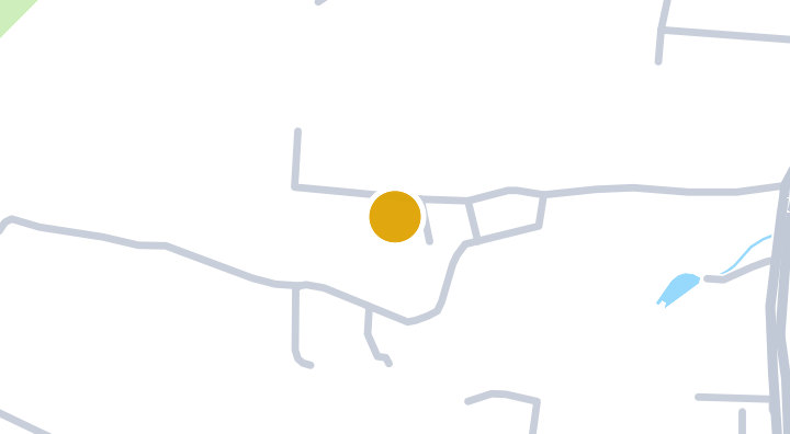
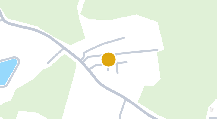
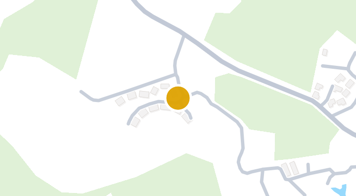
Utopia Yamu 是一个位于泰国普吉府他朗县帕克洛区的公寓项目。项目周边拥有多处值得探索的地点,包括约10分钟可达的水森林(Water forest Chulang)景点,以及约11分钟可达的普吉飞行公园(Phuket Airpark)。此外,从项目出发约26分钟即可抵达Tenta Nakara海滩。对于寻找普吉岛公寓的买家或租户而言,该项目的位置提供了靠近自然景点和海滩的居住选择。

查看可租售单位
位于 Utopia Yamu
设施
  • 健身房
  • 泳池
  • 停车位
  • 会所
  • 礼宾服务
  • 图书馆
  • 网球场
  • 24小时安保
  • 按摩浴缸
  • 桑拿房
项目数据

2022

竣工年份

位置

Thalang

山体滑坡易发性(DMR):低

11 分钟

至Phuket Airpark

通勤

10 分钟

Thalang

查看通勤时间

保存地点并比较从此房源出发的时间。

周边社区

Thalang

Thalang

Thalang is Phuket's largest and most diverse district, covering the northern two-thirds of the island. The western coastline — Bang Tao, Surin, Layan, Nai Thon, Nai Yang — hosts Phuket's most prestigious developments and the Laguna Phuket integrated resort complex. The interior and east coast are more rural and affordable. Phuket International Airport is in Thalang. Bang Tao / Laguna — Phuket's luxury hub. Laguna complex has 5 resorts, a golf course, and surrounding villa estates. Boat Avenue and Porto de Phuket for dining/shopping. Premium pool villas from 15M to 100M+ THB. Surin / Layan — Exclusive, quieter beaches. Ultra-high-end villas and boutique developments. The "Beverly Hills" of Phuket. Nai Thon / Nai Yang — Near the airport but surprisingly peaceful. National park-protected beaches. Growing mid-range development. Good value relative to Bang Tao. Thalang town / interior — Affordable residential area. Local markets, schools, and Thalang heritage. Where many Phuket locals live. Bang Tao pool villas: 15–80+ million THB. Surin/Layan luxury estates: 30–200+ million THB. Nai Thon condos: 80,000–140,000 THB/sqm. Thalang town houses: 3–8 million THB. The widest price range of any Phuket district.

探索Thalang

位置风险与周边信息

河流洪水低(基于估算)
山洪暴发低(基于估算)
干旱中(基于周边区域)
空气质量差低(基于实测)
火灾风险数据尚不充足(来源不明)
极端高温数据尚不充足(来源不明)
河流洪水
相对最近排水通道的高度为 20.618291521116753 米。这是间接筛查指标。
资料范围: 模型筛查 · 置信度:中
山洪或突发洪水
地形推导的易受影响等级为 极低,并非洪水深度预测。
资料范围: 模型筛查 · 置信度:高
干旱
分析的10天期间中,16.38888888888889% 的降雨量低于当地正常值。区域筛查使用项目设定阈值。
资料范围: 区域背景 · 置信度:中
空气质量
PM2.5 年均值:8.055656804965098 µg/m³,来源:OpenAQ。并非当前空气质量读数。
资料范围: 区域背景 · 置信度:中
火灾
暂无可用依据。
资料范围: 资料不足
高温
暂无可用依据。
资料范围: 资料不足

洪水

河流洪水

该位置尚无卫星洪水观测数据覆盖

河流洪水风险仅根据 2024 年一次卫星观测的洪水事件评分,覆盖泰国北部四个府(清迈、清莱、南邦、帕尧)。该范围之外显示“尚无数据”仅表示暂无观测记录,并不代表该地区安全。

山洪

极低 — 地势平坦,远离水道

置信度:高

  • 距最近排水道的相对高度:20.6 米
  • 距最近水道的距离:1118 米
  • 坡度:4.1%

山洪地形数据来自 OpenStreetMap 水道数据。 查看 OpenStreetMap 数据来源说明

周边信息

政府建筑造价估算,最高
15,000 THB/m² — Phuket府范围内
数据来源:Treasury Department (กรมธนารักษ์) construction cost appraisal · 许可协议:Open Data Common (Treasury Department building valuation catalogue) · 2024-08-15 至 2027-12-31
政府建筑造价估算,中位
8,250 THB/m² — Phuket府范围内
数据来源:Treasury Department (กรมธนารักษ์) construction cost appraisal · 许可协议:Open Data Common (Treasury Department building valuation catalogue) · 2024-08-15 至 2027-12-31
政府建筑造价估算,最低
450 THB/m² — Phuket府范围内
数据来源:Treasury Department (กรมธนารักษ์) construction cost appraisal · 许可协议:Open Data Common (Treasury Department building valuation catalogue) · 2024-08-15 至 2027-12-31
土地厅分区估价,最高——政府评估价,用于计税及过户费,非市场价
28,000 THB/sq_wah — 塔廊县/区范围内
数据来源:Treasury Department (กรมธนารักษ์) land valuation (ราคาประเมินที่ดิน) - attach_all_20240805.csv · 许可协议:Open Data Common · 2024-08-14 至 2024-08-14
土地厅分区估价,中位——政府评估价,用于计税及过户费,非市场价
5,500 THB/sq_wah — 塔廊县/区范围内
数据来源:Treasury Department (กรมธนารักษ์) land valuation (ราคาประเมินที่ดิน) - attach_all_20240805.csv · 许可协议:Open Data Common · 2024-08-14 至 2024-08-14
土地厅分区估价,最低——政府评估价,用于计税及过户费,非市场价
980 THB/sq_wah — 塔廊县/区范围内
数据来源:Treasury Department (กรมธนารักษ์) land valuation (ราคาประเมินที่ดิน) - attach_all_20240805.csv · 许可协议:Open Data Common · 2024-08-14 至 2024-08-14
最干燥的月份
二月 — Phuket府范围内
数据来源:Open-Meteo (ERA5 reanalysis, via archive-api.open-meteo.com) · 许可协议:CC BY 4.0 (Attribution 4.0 International) -- https://open-meteo.com/en/licence · 1991-01-01 至 2020-12-31
Climate rainfall annual total mean mm
2,150.1 mm — Phuket府范围内
数据来源:Open-Meteo (ERA5 reanalysis, via archive-api.open-meteo.com) · 许可协议:CC BY 4.0 (Attribution 4.0 International) -- https://open-meteo.com/en/licence · 1991-01-01 至 2020-12-31
降雨最多的月份
十月 — Phuket府范围内
数据来源:Open-Meteo (ERA5 reanalysis, via archive-api.open-meteo.com) · 许可协议:CC BY 4.0 (Attribution 4.0 International) -- https://open-meteo.com/en/licence · 1991-01-01 至 2020-12-31
距最近排水道高度(中位数)
0.6 m — Pa Khlok分区范围内
数据来源:Terrain-derived flash-flood indicators (HAND + slope + OSM drainage proximity; NOT a forecast or probability, not calibrated against observed events) from Copernicus DEM GLO-30 (via Mapterhorn terrain tiles) and OpenStreetMap waterway data. The banded metric flags whether the region CONTAINS terrain susceptible to flash flooding somewhere within it -- not the susceptibility of the region as a whole, and not of any individual property. · 许可协议:Copernicus WorldDEM-30 Licence, commercial use permitted (see ./region-elevation.ts's ELEVATION_SOURCE_LICENSE for the full citation) combined with OpenStreetMap contributors: ODbL 1.0 (https://www.openstreetmap.org/copyright) · 2010-12-12 至 2015-01-07
距最近排水道高度(最低 10%)
-9.7 m — Pa Khlok分区范围内
数据来源:Terrain-derived flash-flood indicators (HAND + slope + OSM drainage proximity; NOT a forecast or probability, not calibrated against observed events) from Copernicus DEM GLO-30 (via Mapterhorn terrain tiles) and OpenStreetMap waterway data. The banded metric flags whether the region CONTAINS terrain susceptible to flash flooding somewhere within it -- not the susceptibility of the region as a whole, and not of any individual property. · 许可协议:Copernicus WorldDEM-30 Licence, commercial use permitted (see ./region-elevation.ts's ELEVATION_SOURCE_LICENSE for the full citation) combined with OpenStreetMap contributors: ODbL 1.0 (https://www.openstreetmap.org/copyright) · 2010-12-12 至 2015-01-07
地形坡度(中位数)
0.6% — Pa Khlok分区范围内
数据来源:Terrain-derived flash-flood indicators (HAND + slope + OSM drainage proximity; NOT a forecast or probability, not calibrated against observed events) from Copernicus DEM GLO-30 (via Mapterhorn terrain tiles) and OpenStreetMap waterway data. The banded metric flags whether the region CONTAINS terrain susceptible to flash flooding somewhere within it -- not the susceptibility of the region as a whole, and not of any individual property. · 许可协议:Copernicus WorldDEM-30 Licence, commercial use permitted (see ./region-elevation.ts's ELEVATION_SOURCE_LICENSE for the full citation) combined with OpenStreetMap contributors: ODbL 1.0 (https://www.openstreetmap.org/copyright) · 2010-12-12 至 2015-01-07
地形坡度(最陡 10%)
3.3% — Pa Khlok分区范围内
数据来源:Terrain-derived flash-flood indicators (HAND + slope + OSM drainage proximity; NOT a forecast or probability, not calibrated against observed events) from Copernicus DEM GLO-30 (via Mapterhorn terrain tiles) and OpenStreetMap waterway data. The banded metric flags whether the region CONTAINS terrain susceptible to flash flooding somewhere within it -- not the susceptibility of the region as a whole, and not of any individual property. · 许可协议:Copernicus WorldDEM-30 Licence, commercial use permitted (see ./region-elevation.ts's ELEVATION_SOURCE_LICENSE for the full citation) combined with OpenStreetMap contributors: ODbL 1.0 (https://www.openstreetmap.org/copyright) · 2010-12-12 至 2015-01-07
距最近水道距离(中位数)
811.5 m — Pa Khlok分区范围内
数据来源:Terrain-derived flash-flood indicators (HAND + slope + OSM drainage proximity; NOT a forecast or probability, not calibrated against observed events) from Copernicus DEM GLO-30 (via Mapterhorn terrain tiles) and OpenStreetMap waterway data. The banded metric flags whether the region CONTAINS terrain susceptible to flash flooding somewhere within it -- not the susceptibility of the region as a whole, and not of any individual property. · 许可协议:Copernicus WorldDEM-30 Licence, commercial use permitted (see ./region-elevation.ts's ELEVATION_SOURCE_LICENSE for the full citation) combined with OpenStreetMap contributors: ODbL 1.0 (https://www.openstreetmap.org/copyright) · 2010-12-12 至 2015-01-07
距最近水道距离(最近 10%)
322.2 m — Pa Khlok分区范围内
数据来源:Terrain-derived flash-flood indicators (HAND + slope + OSM drainage proximity; NOT a forecast or probability, not calibrated against observed events) from Copernicus DEM GLO-30 (via Mapterhorn terrain tiles) and OpenStreetMap waterway data. The banded metric flags whether the region CONTAINS terrain susceptible to flash flooding somewhere within it -- not the susceptibility of the region as a whole, and not of any individual property. · 许可协议:Copernicus WorldDEM-30 Licence, commercial use permitted (see ./region-elevation.ts's ELEVATION_SOURCE_LICENSE for the full citation) combined with OpenStreetMap contributors: ODbL 1.0 (https://www.openstreetmap.org/copyright) · 2010-12-12 至 2015-01-07
山洪地形易发程度
低 — Pa Khlok分区范围内
数据来源:Terrain-derived flash-flood indicators (HAND + slope + OSM drainage proximity; NOT a forecast or probability, not calibrated against observed events) from Copernicus DEM GLO-30 (via Mapterhorn terrain tiles) and OpenStreetMap waterway data. The banded metric flags whether the region CONTAINS terrain susceptible to flash flooding somewhere within it -- not the susceptibility of the region as a whole, and not of any individual property. · 许可协议:Copernicus WorldDEM-30 Licence, commercial use permitted (see ./region-elevation.ts's ELEVATION_SOURCE_LICENSE for the full citation) combined with OpenStreetMap contributors: ODbL 1.0 (https://www.openstreetmap.org/copyright) · 2010-12-12 至 2015-01-07
海拔最高值
83.5 m — Pa Khlok分区范围内
数据来源:Mapterhorn terrain tiles (Copernicus DEM GLO-30 / WorldDEM-30, terrarium encoding, via tiles.mapterhorn.com) · 许可协议:Copernicus WorldDEM-30 Licence (COP-DEM-GLO-30-F, 'Global 30m Full, Free & Open' -- https://documentation.dataspace.copernicus.eu/APIs/SentinelHub/Data/DEM/resources/license/License-COPDEM-30.pdf); free of charge, reproduction/distribution/public-communication/adaptation all granted, commercial use permitted; required notice: "produced using Copernicus WorldDEM-30 © DLR e.V. 2010-2014 and © Airbus Defence and Space GmbH 2014-2018 provided under COPERNICUS by the European Union and ESA; all rights reserved." Tiles served by Mapterhorn (© Mapterhorn, https://mapterhorn.com/attribution) -- both notices required. · 2010-12-12 至 2015-01-07
海拔中位值
9.9 m — Pa Khlok分区范围内
数据来源:Mapterhorn terrain tiles (Copernicus DEM GLO-30 / WorldDEM-30, terrarium encoding, via tiles.mapterhorn.com) · 许可协议:Copernicus WorldDEM-30 Licence (COP-DEM-GLO-30-F, 'Global 30m Full, Free & Open' -- https://documentation.dataspace.copernicus.eu/APIs/SentinelHub/Data/DEM/resources/license/License-COPDEM-30.pdf); free of charge, reproduction/distribution/public-communication/adaptation all granted, commercial use permitted; required notice: "produced using Copernicus WorldDEM-30 © DLR e.V. 2010-2014 and © Airbus Defence and Space GmbH 2014-2018 provided under COPERNICUS by the European Union and ESA; all rights reserved." Tiles served by Mapterhorn (© Mapterhorn, https://mapterhorn.com/attribution) -- both notices required. · 2010-12-12 至 2015-01-07
海拔最低值
0 m — Pa Khlok分区范围内
数据来源:Mapterhorn terrain tiles (Copernicus DEM GLO-30 / WorldDEM-30, terrarium encoding, via tiles.mapterhorn.com) · 许可协议:Copernicus WorldDEM-30 Licence (COP-DEM-GLO-30-F, 'Global 30m Full, Free & Open' -- https://documentation.dataspace.copernicus.eu/APIs/SentinelHub/Data/DEM/resources/license/License-COPDEM-30.pdf); free of charge, reproduction/distribution/public-communication/adaptation all granted, commercial use permitted; required notice: "produced using Copernicus WorldDEM-30 © DLR e.V. 2010-2014 and © Airbus Defence and Space GmbH 2014-2018 provided under COPERNICUS by the European Union and ESA; all rights reserved." Tiles served by Mapterhorn (© Mapterhorn, https://mapterhorn.com/attribution) -- both notices required. · 2010-12-12 至 2015-01-07
海拔高差
83.5 m — Pa Khlok分区范围内
数据来源:Mapterhorn terrain tiles (Copernicus DEM GLO-30 / WorldDEM-30, terrarium encoding, via tiles.mapterhorn.com) · 许可协议:Copernicus WorldDEM-30 Licence (COP-DEM-GLO-30-F, 'Global 30m Full, Free & Open' -- https://documentation.dataspace.copernicus.eu/APIs/SentinelHub/Data/DEM/resources/license/License-COPDEM-30.pdf); free of charge, reproduction/distribution/public-communication/adaptation all granted, commercial use permitted; required notice: "produced using Copernicus WorldDEM-30 © DLR e.V. 2010-2014 and © Airbus Defence and Space GmbH 2014-2018 provided under COPERNICUS by the European Union and ESA; all rights reserved." Tiles served by Mapterhorn (© Mapterhorn, https://mapterhorn.com/attribution) -- both notices required. · 2010-12-12 至 2015-01-07
近 10 年降雨不足旬数占比
16.4% — 塔廊县/区范围内
数据来源:Climate Hazards Center UC Santa Barbara & WFP -- Thailand: Rainfall Indicators at Subnational Level (HDX) · 许可协议:CC BY (Creative Commons Attribution International) · 2016-01-01 至 2025-12-31
近 10 年最严重 3 个月降雨不足程度
21.2% — 塔廊县/区范围内
数据来源:Climate Hazards Center UC Santa Barbara & WFP -- Thailand: Rainfall Indicators at Subnational Level (HDX) · 许可协议:CC BY (Creative Commons Attribution International) · 2016-01-01 至 2025-12-31
PM2.5 年平均值
8.1 µg/m³ — Phuket府范围内
数据来源:OpenAQ — มหาวิทยาลัยราชภัฎภูเก็ต 1-2797352 (reference) · 许可协议:CC BY 4.0 (AirGradient via OpenAQ) · 2025-01-01 至 2026-01-01
近 3 个月降雨量占常年比例
70.9% — 塔廊县/区范围内
数据来源:Climate Hazards Center UC Santa Barbara & WFP -- Thailand: Rainfall Indicators at Subnational Level (HDX) · 许可协议:CC BY (Creative Commons Attribution International) · 2026-07-01 至 2026-09-21
查看该区域的更多信息

筛查资料不构成安全保证、未来风险预测或现场检查。

房源评价

还没有评价,快来成为第一个吧。

评价

撰写评价

需要登录。每个项目仅可评价一次。

登录后即可发表评价。

附近项目
Grove Gardens

Grove Gardens

公寓楼

Casablanca Pool Villas

Casablanca Pool Villas

公寓楼

Tyssen Yamu — 普吉他朗县帕克罗伊公寓项目

Tyssen Yamu — 普吉他朗县帕克罗伊公寓项目

公寓楼

Baan Yamu Residences

Baan Yamu Residences

公寓楼

The wish @ khoalam

The wish @ khoalam

公寓楼

B-Libre Glamping and Resort

B-Libre Glamping and Resort

公寓楼

Point Yamu Villas

Point Yamu Villas

公寓楼

Loft Baantung

Loft Baantung

公寓楼

Alanna Yamu

Alanna Yamu

公寓楼

Paradise Heights Cape Yamu

Paradise Heights Cape Yamu

公寓楼

Mini Villa Yamu

Mini Villa Yamu

公寓楼

Lapista Villas - Paklok

Lapista Villas - Paklok

公寓楼

当 Utopia Yamu 有新单元时通知我。

查看可租售单位
位于 Utopia Yamu

探索更多

  • 浏览房产

    BaanMe — 您值得信赖的房产平台。

  • 探索泰国全部77府

    使用互动地图,从77府深入至928个县和7,425个街道,比较当地房源、价格、楼盘和区域指南。

  • 交通、学校和地标附近的房源

    选择对日常生活重要的地点,再比较附近的实时出租和出售房源。下列每个地点的搜索范围内都有在售或在租房源。

  • 泰国房地产市场报告

    泰国所有在售房源的中位要价(泰铢)。