Rent a Home

Condos for Rent

Houses for Rent

Villas for Rent

Apartments for Rent

Buy a Home

Condos for Sale

Houses for Sale

Villas for Sale

Land for Sale

Explore

Areas

Use the interactive map to move from 77 provinces into 928 districts and 7,425 subdistricts, then compare local homes, prices, projects, and neighborhood guides.

Browse Projects

Search condos, housing estates, and developments with active listings

Homes near transit, schools and landmarks

Choose a place that matters to your daily life, then compare live rentals and homes for sale nearby. Every place below has active inventory in its search area.

Owner-approved opportunities

Explore properties whose owners have confirmed a price and are open to a conversation, including owners with no hurry to sell.

Find an agent near you

Browse verified real estate agents and agencies by province, with active listings and reviews.

Resources

Guides & insights

Thailand Property Market Report

The provinces with the most active listings on the network. Click a province for its full market report.

Best Of Guides

Curated picks for the best areas to buy, rent, and live in Thailand

Visa Opportunities

Visa types, extensions, and applications for Thailand

Thailand property law

Plain-language guides to Thai property law, verified against official sources — for foreign buyers, Thai buyers and renters.

Thailand Flood History Map

Free tool: check whether an address, soi, or condo project in Thailand has flooded before, using historical satellite (SAR) flood observations.

Property news

The latest visa, tax and property-law updates for Thailand, verified against official sources.

All Articles

Tips, market insights, and property guides

Tools

Thailand Mortgage Calculator

Estimate a monthly home-loan payment from the property price, down payment, annual interest rate, and loan term you enter.

Transfer Fees Calculator

Estimate taxes and fees for property transfers in Thailand

Unit Conversions

Convert between Thai and international land units

  • Condos for Rent
  • Houses for Rent
  • Villas for Rent
  • Apartments for Rent
  • Condos for Sale
  • Houses for Sale
  • Villas for Sale
  • Land for Sale
  • Areas
  • Browse Projects
  • Homes near transit, schools and landmarks
  • Owner-approved opportunities
  • Find an agent near you
  • Thailand Property Market Report
  • Best Of Guides
  • Visa Opportunities
  • Thailand property law
  • Thailand Flood History Map
  • Property news
  • All Articles
  • Thailand Mortgage Calculator
  • Transfer Fees Calculator
  • Unit Conversions

Why BaanMe?

ID-Verified Agents

Every BaanMe agent is verified against a Thai government ID before they can publish a single listing — so you always know exactly who you are dealing with, and bad actors get permanently banned.

Secure In-App Chat (Coming Soon)

We are developing in-app messaging. Until it launches, contact options depend on the agent and listing.

Deposit Protection (Coming Soon)

Soon, BaanMe will hold your security deposit in escrow and review every claim ourselves — so unfair deductions and disappearing landlords become a thing of the past.

Contract Support

Ask your agent which contract languages and terms are available before signing.

Environmental Impact

We care about your, our, and everyone's environment. Which is why we have committed ourselves to re-foresting the rainforest in Pai, Thailand, with the help of Conserve Natural Forests, a local NGO committed to forest restoration in and around Pai.

Regions

  • Homes in Bangkok
  • Homes in Chiang Mai
  • Homes in Samut Prakan
  • Homes in Phetchabun
  • Homes in Lamphun
  • Homes in Nonthaburi
  • Homes in Chiang Rai
  • Homes in Chon Buri

Browse Properties

  • Bangkok Condos for Rent
  • Bangkok Apartments for Rent
  • Chiang Mai Houses for Rent
  • Bangkok Offices for Rent
  • Bangkok Warehouses for Rent
  • Koh Samui Houses for Rent
  • All Properties →

FAQ

  • Thailand Property Market Trends 2026: A Selective Recovery
  • More →

Best Of Guides

  • Best Areas to Buy a Condo in Bangkok
  • Best Neighborhoods for Expats in Thailand
  • Best Areas to Rent in Chiang Mai
  • Best Places to Buy a House in Phuket
  • Best Neighborhoods for Families in Bangkok
  • All Guides →

BaanMe

  • About BaanMe
  • Press Inquiries
  • Brand Assets
  • Privacy Policy
  • Terms & Conditions
  • Map Attribution
  • Help
  • Add BaanMe as a preferred source on Google
  • Delete Account

© Niklas Benjamin Muegge, 2026

  1. Home
  2. View Talay Residence 3
View Talay Residence 3
OverviewLocationReviewAvailable CondosNearby Projects

View Talay Residence 3

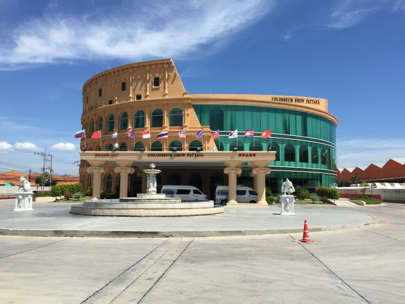
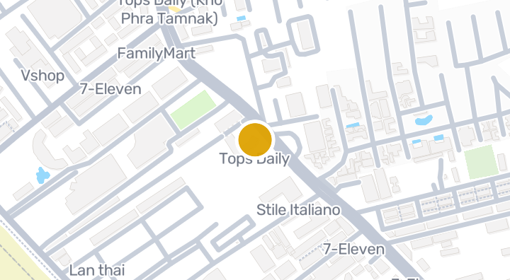
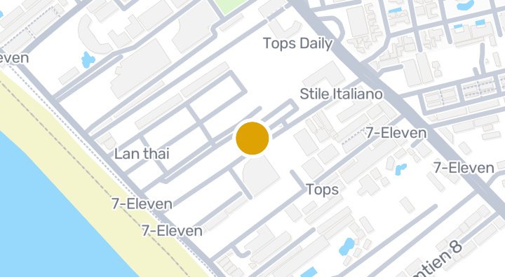
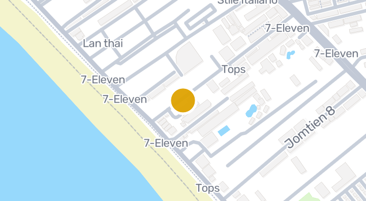
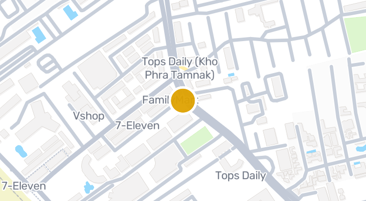
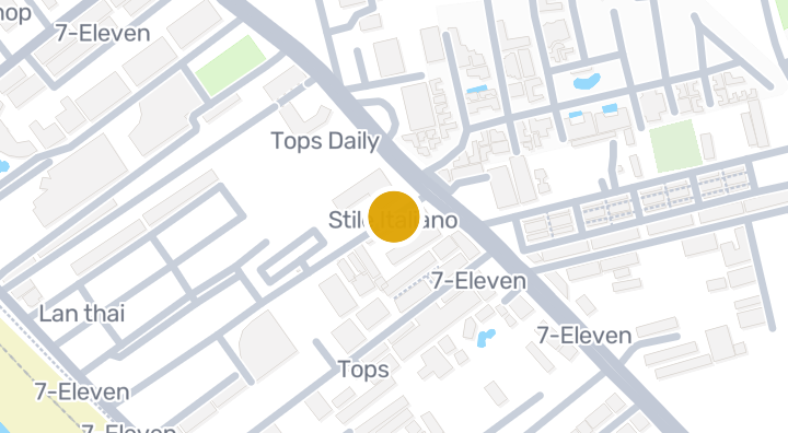
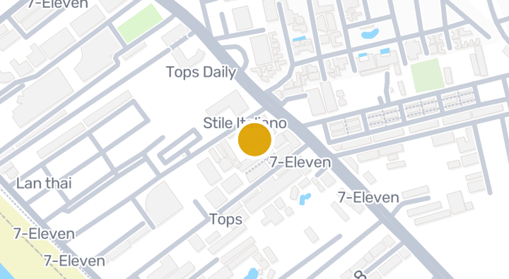
View Talay Residence 3 is a condominium project located in Nong Prue, Bang Lamung, Chon Buri. The developer and completion date are not specified. Residents are close to the Machanu statue, about 1 minute away, and Rainbow Beach, about 2 minutes away. Dokkrai Airstrip is roughly 48 minutes from the project.

See Available Condos
In View Talay Residence 3

Location

Bang Lamung

Limestone karst terrain nearby (geology, not a risk rating)

18 min

to Eastern Airport

48 min

to Dokkrai Airstrip

1435 min

to Kheha Station

commute

1 min

Bang Lamung

Check your commute

Save places and compare travel times from this home.

Neighborhood

Bang Lamung

Bang Lamung

Bang Lamung is effectively the Pattaya metropolitan area — Thailand's second-largest beach resort after Phuket. The district spans from Wong Amat Beach in the north through central Pattaya, down to Jomtien and Na Jomtien in the south. It's home to an estimated 100,000+ expats and retirees, making it one of the most international communities in Southeast Asia. Central Pattaya — Dense, busy, entertainment-focused. Walking Street nightlife, Central Festival mall, Beach Road. Budget to mid-range condos. Not for quiet seekers. Jomtien — South of Pattaya Hill. More relaxed, family-friendly atmosphere. Better beach, longer promenade, more residential character. Popular with long-stay expats. Na Jomtien — The new development frontier. Premium projects like Aeras, Riviera, and Copacabana line the coast. Modern, less crowded, with improving infrastructure. Wong Amat / Naklua — North end. Quieter, more upscale. The Sanctuary of Truth landmark. Some of Pattaya's most established luxury condos. Pratumnak Hill — Between Pattaya and Jomtien. Elevated location with sea views. Mid-to-high-end condos. Quieter than central Pattaya. Studios from 1–2 million THB. Sea-view 1-beds: 3–6 million THB. Na Jomtien premium: 4–12 million THB. Wong Amat luxury: 8–25 million THB. Among the most affordable beachfront condo markets in Southeast Asia. Yields of 5–8% gross achievable with good management.

Explore Bang Lamung

Location risk & context

river floodingHigh(estimated)
flash floodingLow(estimated)
droughtMedium(based on the surrounding area)
poor air qualityMedium(observed)
fire riskNot enough data yet(basis not available)
extreme heatLow(based on the surrounding area)
River flooding
Terrain height above nearest drainage: 4.480555326395519 m. This is an indirect screening indicator.
Evidence scope: Modelled screening · Confidence: Medium
Flash flooding
Terrain-derived susceptibility band: Low. This is not a flood-depth forecast.
Evidence scope: Modelled screening · Confidence: High
Drought
Rainfall was below the local normal in 15% of analysed 10-day periods. Regional screening uses project-defined thresholds.
Evidence scope: Area context · Confidence: Medium
Air quality
Annual mean PM2.5: 19.355055209310496 µg/m³, source: OpenAQ. This is not a current air-quality reading.
Evidence scope: Area context · Confidence: Medium
Fire
No usable evidence is available.
Evidence scope: Insufficient evidence
Heat
Annual mean of monthly maximum temperatures: 30.56176885524447 °C. Regional screening uses project-defined thresholds, not an individual health forecast.
Evidence scope: Area context · Confidence: Medium

Flood

River flood

No satellite flood observation covers this location yet

River hazard is scored only against a single 2024 satellite-observed flood event covering four northern Thailand provinces (Chiang Mai, Chiang Rai, Lamphun, Phayao). "Unknown" outside that area means no observation exists yet — it does not mean the area is safe.

Flash flood

Low — some distance from watercourses or higher ground

Confidence: high

  • Height above nearest drainage: 4.5 m
  • Distance to nearest watercourse: 5877 m
  • Slope: 4.2%

Flash-flood terrain data is derived from OpenStreetMap waterway data. See OpenStreetMap attribution

Area context

Government construction cost estimate, maximum
11,500 THB/m² — In Chon Buri province
Source: Treasury Department (กรมธนารักษ์) construction cost appraisal · License: Open Data Common (Treasury Department building valuation catalogue) · 2024-08-15 to 2027-12-31
Government construction cost estimate, typical
7,700 THB/m² — In Chon Buri province
Source: Treasury Department (กรมธนารักษ์) construction cost appraisal · License: Open Data Common (Treasury Department building valuation catalogue) · 2024-08-15 to 2027-12-31
Government construction cost estimate, minimum
400 THB/m² — In Chon Buri province
Source: Treasury Department (กรมธนารักษ์) construction cost appraisal · License: Open Data Common (Treasury Department building valuation catalogue) · 2024-08-15 to 2027-12-31
Treasury land appraisal (municipality), maximum — assessed value, not market price
20,000 THB/sq_wah — In Nong Prue subdistrict
Source: Treasury Department (กรมธนารักษ์) land valuation (ราคาประเมินที่ดิน) - attach_all_20240805.csv — เมืองพัทยา / เทศบาลเมืองหนองปรือ (municipal area) · License: Open Data Common · 2024-08-14 to 2024-08-14
Treasury land appraisal (municipality), typical — assessed value, not market price
3,500 THB/sq_wah — In Nong Prue subdistrict
Source: Treasury Department (กรมธนารักษ์) land valuation (ราคาประเมินที่ดิน) - attach_all_20240805.csv — เมืองพัทยา / เทศบาลเมืองหนองปรือ (municipal area) · License: Open Data Common · 2024-08-14 to 2024-08-14
Treasury land appraisal (municipality), minimum — assessed value, not market price
1,000 THB/sq_wah — In Nong Prue subdistrict
Source: Treasury Department (กรมธนารักษ์) land valuation (ราคาประเมินที่ดิน) - attach_all_20240805.csv — เมืองพัทยา / เทศบาลเมืองหนองปรือ (municipal area) · License: Open Data Common · 2024-08-14 to 2024-08-14
Treasury land appraisal (subdistrict), maximum — assessed value, not market price
4,000 THB/sq_wah — In Bang Lamung district
Source: Treasury Department (กรมธนารักษ์) land valuation (ราคาประเมินที่ดิน) - attach_all_20240805.csv · License: Open Data Common · 2024-08-14 to 2024-08-14
Treasury land appraisal (subdistrict), typical — assessed value, not market price
1,250 THB/sq_wah — In Bang Lamung district
Source: Treasury Department (กรมธนารักษ์) land valuation (ราคาประเมินที่ดิน) - attach_all_20240805.csv · License: Open Data Common · 2024-08-14 to 2024-08-14
Treasury land appraisal (subdistrict), minimum — assessed value, not market price
500 THB/sq_wah — In Bang Lamung district
Source: Treasury Department (กรมธนารักษ์) land valuation (ราคาประเมินที่ดิน) - attach_all_20240805.csv · License: Open Data Common · 2024-08-14 to 2024-08-14
Driest month
December — In Chon Buri province
Source: Open-Meteo (ERA5 reanalysis, via archive-api.open-meteo.com) · License: CC BY 4.0 (Attribution 4.0 International) -- https://open-meteo.com/en/licence · 1991-01-01 to 2020-12-31
Climate rainfall annual total mean mm
1,648.4 mm — In Chon Buri province
Source: Open-Meteo (ERA5 reanalysis, via archive-api.open-meteo.com) · License: CC BY 4.0 (Attribution 4.0 International) -- https://open-meteo.com/en/licence · 1991-01-01 to 2020-12-31
Average daily high temperature
30.6 C — In Chon Buri province
Source: Open-Meteo (ERA5 reanalysis, via archive-api.open-meteo.com) · License: CC BY 4.0 (Attribution 4.0 International) -- https://open-meteo.com/en/licence · 1991-01-01 to 2020-12-31
Wettest month
September — In Chon Buri province
Source: Open-Meteo (ERA5 reanalysis, via archive-api.open-meteo.com) · License: CC BY 4.0 (Attribution 4.0 International) -- https://open-meteo.com/en/licence · 1991-01-01 to 2020-12-31
Height above nearest drainage (typical)
1.6 m — In Nong Prue subdistrict
Source: Terrain-derived flash-flood indicators (HAND + slope + OSM drainage proximity; NOT a forecast or probability, not calibrated against observed events) from Copernicus DEM GLO-30 (via Mapterhorn terrain tiles) and OpenStreetMap waterway data. The banded metric flags whether the region CONTAINS terrain susceptible to flash flooding somewhere within it -- not the susceptibility of the region as a whole, and not of any individual property. · License: Copernicus WorldDEM-30 Licence, commercial use permitted (see ./region-elevation.ts's ELEVATION_SOURCE_LICENSE for the full citation) combined with OpenStreetMap contributors: ODbL 1.0 (https://www.openstreetmap.org/copyright) · 2010-12-12 to 2015-01-07
Height above nearest drainage (lowest 10%)
-8 m — In Nong Prue subdistrict
Source: Terrain-derived flash-flood indicators (HAND + slope + OSM drainage proximity; NOT a forecast or probability, not calibrated against observed events) from Copernicus DEM GLO-30 (via Mapterhorn terrain tiles) and OpenStreetMap waterway data. The banded metric flags whether the region CONTAINS terrain susceptible to flash flooding somewhere within it -- not the susceptibility of the region as a whole, and not of any individual property. · License: Copernicus WorldDEM-30 Licence, commercial use permitted (see ./region-elevation.ts's ELEVATION_SOURCE_LICENSE for the full citation) combined with OpenStreetMap contributors: ODbL 1.0 (https://www.openstreetmap.org/copyright) · 2010-12-12 to 2015-01-07
Terrain slope (typical)
0.7% — In Nong Prue subdistrict
Source: Terrain-derived flash-flood indicators (HAND + slope + OSM drainage proximity; NOT a forecast or probability, not calibrated against observed events) from Copernicus DEM GLO-30 (via Mapterhorn terrain tiles) and OpenStreetMap waterway data. The banded metric flags whether the region CONTAINS terrain susceptible to flash flooding somewhere within it -- not the susceptibility of the region as a whole, and not of any individual property. · License: Copernicus WorldDEM-30 Licence, commercial use permitted (see ./region-elevation.ts's ELEVATION_SOURCE_LICENSE for the full citation) combined with OpenStreetMap contributors: ODbL 1.0 (https://www.openstreetmap.org/copyright) · 2010-12-12 to 2015-01-07
Terrain slope (steepest 10%)
1% — In Nong Prue subdistrict
Source: Terrain-derived flash-flood indicators (HAND + slope + OSM drainage proximity; NOT a forecast or probability, not calibrated against observed events) from Copernicus DEM GLO-30 (via Mapterhorn terrain tiles) and OpenStreetMap waterway data. The banded metric flags whether the region CONTAINS terrain susceptible to flash flooding somewhere within it -- not the susceptibility of the region as a whole, and not of any individual property. · License: Copernicus WorldDEM-30 Licence, commercial use permitted (see ./region-elevation.ts's ELEVATION_SOURCE_LICENSE for the full citation) combined with OpenStreetMap contributors: ODbL 1.0 (https://www.openstreetmap.org/copyright) · 2010-12-12 to 2015-01-07
Distance to nearest watercourse (typical)
1,769.5 m — In Nong Prue subdistrict
Source: Terrain-derived flash-flood indicators (HAND + slope + OSM drainage proximity; NOT a forecast or probability, not calibrated against observed events) from Copernicus DEM GLO-30 (via Mapterhorn terrain tiles) and OpenStreetMap waterway data. The banded metric flags whether the region CONTAINS terrain susceptible to flash flooding somewhere within it -- not the susceptibility of the region as a whole, and not of any individual property. · License: Copernicus WorldDEM-30 Licence, commercial use permitted (see ./region-elevation.ts's ELEVATION_SOURCE_LICENSE for the full citation) combined with OpenStreetMap contributors: ODbL 1.0 (https://www.openstreetmap.org/copyright) · 2010-12-12 to 2015-01-07
Distance to nearest watercourse (closest 10%)
361.6 m — In Nong Prue subdistrict
Source: Terrain-derived flash-flood indicators (HAND + slope + OSM drainage proximity; NOT a forecast or probability, not calibrated against observed events) from Copernicus DEM GLO-30 (via Mapterhorn terrain tiles) and OpenStreetMap waterway data. The banded metric flags whether the region CONTAINS terrain susceptible to flash flooding somewhere within it -- not the susceptibility of the region as a whole, and not of any individual property. · License: Copernicus WorldDEM-30 Licence, commercial use permitted (see ./region-elevation.ts's ELEVATION_SOURCE_LICENSE for the full citation) combined with OpenStreetMap contributors: ODbL 1.0 (https://www.openstreetmap.org/copyright) · 2010-12-12 to 2015-01-07
Flash-flood terrain susceptibility
low — In Nong Prue subdistrict
Source: Terrain-derived flash-flood indicators (HAND + slope + OSM drainage proximity; NOT a forecast or probability, not calibrated against observed events) from Copernicus DEM GLO-30 (via Mapterhorn terrain tiles) and OpenStreetMap waterway data. The banded metric flags whether the region CONTAINS terrain susceptible to flash flooding somewhere within it -- not the susceptibility of the region as a whole, and not of any individual property. · License: Copernicus WorldDEM-30 Licence, commercial use permitted (see ./region-elevation.ts's ELEVATION_SOURCE_LICENSE for the full citation) combined with OpenStreetMap contributors: ODbL 1.0 (https://www.openstreetmap.org/copyright) · 2010-12-12 to 2015-01-07
Elevation, maximum
70.1 m — In Nong Prue subdistrict
Source: Mapterhorn terrain tiles (Copernicus DEM GLO-30 / WorldDEM-30, terrarium encoding, via tiles.mapterhorn.com) · License: Copernicus WorldDEM-30 Licence (COP-DEM-GLO-30-F, 'Global 30m Full, Free & Open' -- https://documentation.dataspace.copernicus.eu/APIs/SentinelHub/Data/DEM/resources/license/License-COPDEM-30.pdf); free of charge, reproduction/distribution/public-communication/adaptation all granted, commercial use permitted; required notice: "produced using Copernicus WorldDEM-30 © DLR e.V. 2010-2014 and © Airbus Defence and Space GmbH 2014-2018 provided under COPERNICUS by the European Union and ESA; all rights reserved." Tiles served by Mapterhorn (© Mapterhorn, https://mapterhorn.com/attribution) -- both notices required. · 2010-12-12 to 2015-01-07
Elevation, typical
29.5 m — In Nong Prue subdistrict
Source: Mapterhorn terrain tiles (Copernicus DEM GLO-30 / WorldDEM-30, terrarium encoding, via tiles.mapterhorn.com) · License: Copernicus WorldDEM-30 Licence (COP-DEM-GLO-30-F, 'Global 30m Full, Free & Open' -- https://documentation.dataspace.copernicus.eu/APIs/SentinelHub/Data/DEM/resources/license/License-COPDEM-30.pdf); free of charge, reproduction/distribution/public-communication/adaptation all granted, commercial use permitted; required notice: "produced using Copernicus WorldDEM-30 © DLR e.V. 2010-2014 and © Airbus Defence and Space GmbH 2014-2018 provided under COPERNICUS by the European Union and ESA; all rights reserved." Tiles served by Mapterhorn (© Mapterhorn, https://mapterhorn.com/attribution) -- both notices required. · 2010-12-12 to 2015-01-07
Elevation, minimum
6 m — In Nong Prue subdistrict
Source: Mapterhorn terrain tiles (Copernicus DEM GLO-30 / WorldDEM-30, terrarium encoding, via tiles.mapterhorn.com) · License: Copernicus WorldDEM-30 Licence (COP-DEM-GLO-30-F, 'Global 30m Full, Free & Open' -- https://documentation.dataspace.copernicus.eu/APIs/SentinelHub/Data/DEM/resources/license/License-COPDEM-30.pdf); free of charge, reproduction/distribution/public-communication/adaptation all granted, commercial use permitted; required notice: "produced using Copernicus WorldDEM-30 © DLR e.V. 2010-2014 and © Airbus Defence and Space GmbH 2014-2018 provided under COPERNICUS by the European Union and ESA; all rights reserved." Tiles served by Mapterhorn (© Mapterhorn, https://mapterhorn.com/attribution) -- both notices required. · 2010-12-12 to 2015-01-07
Elevation, range
64.1 m — In Nong Prue subdistrict
Source: Mapterhorn terrain tiles (Copernicus DEM GLO-30 / WorldDEM-30, terrarium encoding, via tiles.mapterhorn.com) · License: Copernicus WorldDEM-30 Licence (COP-DEM-GLO-30-F, 'Global 30m Full, Free & Open' -- https://documentation.dataspace.copernicus.eu/APIs/SentinelHub/Data/DEM/resources/license/License-COPDEM-30.pdf); free of charge, reproduction/distribution/public-communication/adaptation all granted, commercial use permitted; required notice: "produced using Copernicus WorldDEM-30 © DLR e.V. 2010-2014 and © Airbus Defence and Space GmbH 2014-2018 provided under COPERNICUS by the European Union and ESA; all rights reserved." Tiles served by Mapterhorn (© Mapterhorn, https://mapterhorn.com/attribution) -- both notices required. · 2010-12-12 to 2015-01-07
Share of 10-day periods with rainfall deficit (10-year)
15% — In Bang Lamung district
Source: Climate Hazards Center UC Santa Barbara & WFP -- Thailand: Rainfall Indicators at Subnational Level (HDX) · License: CC BY (Creative Commons Attribution International) · 2016-01-01 to 2025-12-31
Worst 3-month rainfall deficit (10-year)
27% — In Bang Lamung district
Source: Climate Hazards Center UC Santa Barbara & WFP -- Thailand: Rainfall Indicators at Subnational Level (HDX) · License: CC BY (Creative Commons Attribution International) · 2016-01-01 to 2025-12-31
PM2.5, annual average (low-cost sensor)
19.1 µg/m³ — In Chon Buri province
Source: OpenAQ — โรงเรียนชุมชนวัดเขาไม้แก้ว-2813688 (low-cost) · License: CC BY 4.0 (AirGradient via OpenAQ) · 2025-01-01 to 2026-01-01
PM2.5, annual average
19.4 µg/m³ — In Chon Buri province
Source: OpenAQ — Laem Chabang Municipal Stadium-7840 (reference) · License: Open Data Common (Pollution Control Department) · 2025-01-01 to 2025-12-30
Recent 3-month rainfall vs. normal
139.6% — In Bang Lamung district
Source: Climate Hazards Center UC Santa Barbara & WFP -- Thailand: Rainfall Indicators at Subnational Level (HDX) · License: CC BY (Creative Commons Attribution International) · 2026-07-01 to 2026-09-21
See more about this area

Screening evidence is not a safety guarantee, a future risk forecast or a site inspection.

Property Reviews

No reviews yet — be the first to leave one.

Reviews

Leave a review

Sign in required. One review per project.

Sign in to leave a review.

Nearby Projects
View Talay Residence 4 Condominium in Nong Prue, Bang Lamung

View Talay Residence 4 Condominium in Nong Prue, Bang Lamung

Condominium
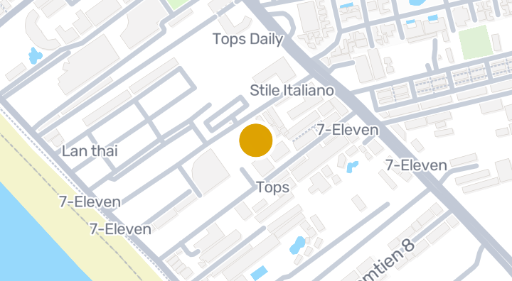
Fifth Jomtien Pattaya Condominium in Nong Prue, Chon Buri

Fifth Jomtien Pattaya Condominium in Nong Prue, Chon Buri

Condominium
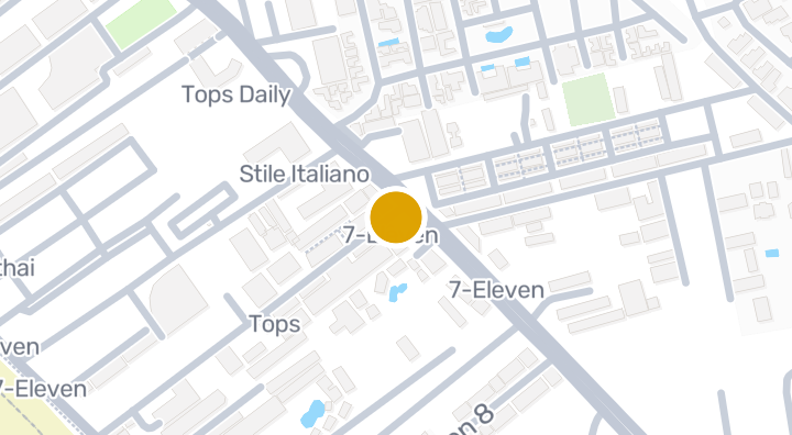
Katalina Residence | Condominium in Nong Prue, Bang Lamung,

Katalina Residence | Condominium in Nong Prue, Bang Lamung,

Condominium
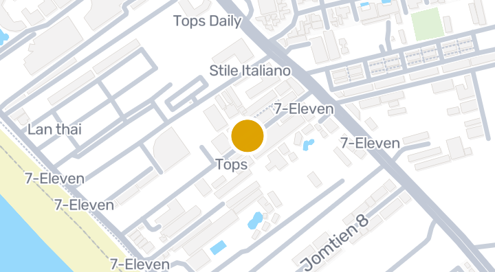
Paradise Residence 2

Paradise Residence 2

Condominium

SKYPARK Lucean Jomtien Pattaya

SKYPARK Lucean Jomtien Pattaya

Condominium
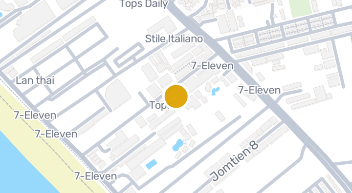
Jomtien Thip Condotel | Condominium in Nong Prue, Chon Buri

Jomtien Thip Condotel | Condominium in Nong Prue, Chon Buri

Condominium
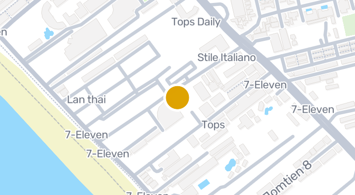
Fifth Avenue Pattaya

Fifth Avenue Pattaya

Condominium

Avoca Pool Villas

Avoca Pool Villas

Condominium

View Talay Villas

View Talay Villas

Condominium

Thien Tong Condotel | Condominium in Nong Prue, Bang Lamung,

Thien Tong Condotel | Condominium in Nong Prue, Bang Lamung,

Condominium
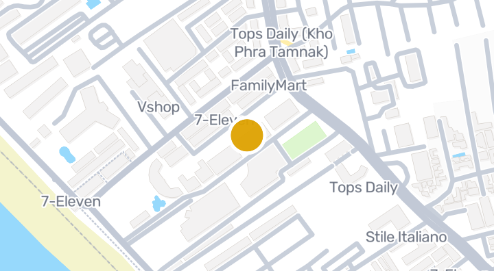
Jomtien Plaza 2 Lowrise

Jomtien Plaza 2 Lowrise

Condominium

Jomtien Shining Star

Jomtien Shining Star

Condominium

Get notified when new units become available in View Talay Residence 3.

See Available Condos
In View Talay Residence 3

Explore more

  • Browse Properties

    BaanMe — your trusted platform for property listings, real estate insights, and market intelligence.

  • Explore all 77 provinces of Thailand

    Use the interactive map to move from 77 provinces into 928 districts and 7,425 subdistricts, then compare local homes, prices, projects, and neighborhood guides.

  • Homes near transit, schools and landmarks

    Choose a place that matters to your daily life, then compare live rentals and homes for sale nearby. Every place below has active inventory in its search area.

  • Thailand Property Market Report

    Median asking prices across all active listings in Thailand, in Thai Baht.